Near Morgantown in Monongalia County, West Virginia — The American South (Appalachia)
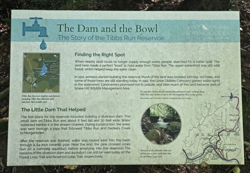
The Dam and the Bowl
The Story of the Tibbs Run Reservoir
| — | West Virginia Botanic Garden at Tibbs Run Preserve | — |
Photographed by Bradley Owen, September 26, 2026
1. The Dam and the Bowl Marker
Finding the Right Spot
When nearby land could no longer supply enough water, people searched for a better spot. The land here made a perfect "bowl" to hold water from Tibbs Run. The upper watershed was still wild forest, which helped keep the water clean.
In 1911, workers started building the reservoir. Much of the land was covered with big, old trees, and some of those trees are still standing today. In 1912, the Union Utilities Company gained water rights in the watershed. Landowners promised not to pollute, and later much of this land became part of Snake Hill Wildlife Management Area.
The Little Dam That Helped
The first plans for the reservoir included building a diversion dam. This small dam on Tibbs Run was about 8 feet tall and 30 feet wide. Water collected behind it in the stream channel. During construction, the water was sent through a pipe that followed Tibbs Run and Deckers Creek to Morgantown.
After the reservoir was finished, water was routed west into the basin through a 24-inch ceramic pipe. Near the end, the pipe crossed Jones Run on a concrete aqueduct before emptying into the reservoir.
this page online
(Captions):
Tibbs Run Reservoir location and features, including Tibbs Run diversion dam and Jones Run wooden weir.
The pipelines (shown in red) mostly followed nature's path, running along Tibbs Run and Deckers Creek to the Monongahela River pump station.
Remains of the diversion dam can still be seen a short walk from here on the Forest Loop Trail.
Erected 2026 by West Virginia Botanic Garden.
Topics. This historical marker is listed in these topic lists: Charity & Public Work • Environment • Industry & Commerce. A significant historical year for this entry is 1911.
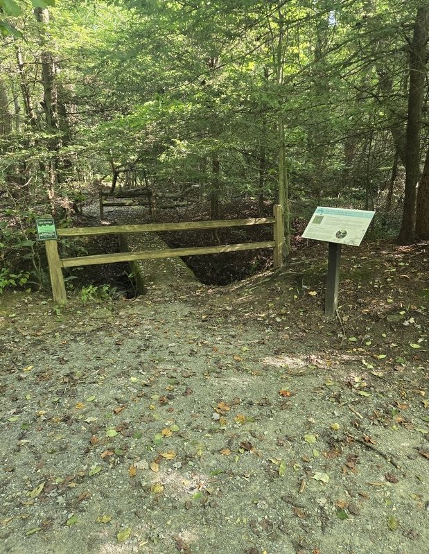
Location. 39° 37.653′ N, 79° 51.963′ W. Marker is near Morgantown, West Virginia, in Monongalia County. It can be reached from Tyrone Road (County Route 75) 0.1 miles south of Quartz Drive, on the left when traveling south. The marker is located on the Reservoir Loop Trail at the West Virginia Botanic Garden. Touch for map. Marker is at or near this postal address: 1061 Tyrone Road, Morgantown WV 26508, United
Photographed by Bradley Owen, September 26, 2026
2. The Dam and the Bowl Marker

Regionally, this marker is in North Central West Virginia. It is also in the American South, specifically in the Upper South, in Appalachia, and specifically in Northern Appalachia. Globally, it is in North America, the Western Hemisphere, the Western World, and the Anglosphere. Historically, it finds itself in what was once the territory of the Mississippian Culture.
Other nearby markers. At least 8 other markers are within walking distance of this marker: Strong Men and Horses Build the Basin (a few steps from this marker); Prehistoric Garden (within shouting distance of this marker); The WVBG Labyrinth (about 500 feet away); a different marker also named Who Wants Clean Water? (about 500 feet away); 351 Commercial Street: Blanche Lazzell's Provincetown Studio (about 500 feet away); Rooted in Monongalia County: Home as Inspiration (about 600 feet away); Clean Water Comes to Morgantown (about 700 feet away); Modernism and Mastery: Lazzell's Paris Influence & the White-Line Woodcut (about 700 feet away). Touch for a list and map of all markers in Morgantown.
Other markers no longer nearby. A Small Dam and a Big "Bowl" Meet the Need for Clean Water (was about 300 feet away, measured in a direct line but has been replaced with another marker now near it); Who Wants Clean Water? (was about 500 feet away but has been replaced with another marker now near it); Remnants of the Past: The Dam and Outlet Tower (was about 500 feet away but has been replaced with another marker now near it); Clean Water Comes To Morgantown (was about 700 feet away but has been replaced with another marker now near it).
Related marker. Click here for another marker that is related to this marker. This marker has replaced the linked marker.
Credits. This page was last revised on October 3, 2026. It was originally submitted on October 3, 2026, by Bradley Owen of Morgantown, West Virginia. This page has been viewed 7 times since then. Photos: 1, 2. submitted on October 3, 2026, by Bradley Owen of Morgantown, West Virginia.
