Tower Hamlets in Greater London, England, United Kingdom — Northwestern Europe (the British Isles)
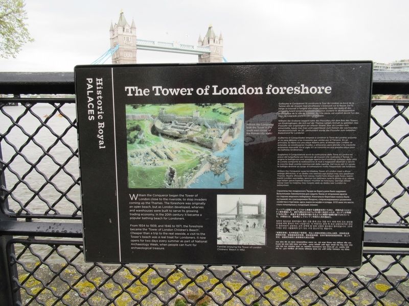
The Tower of London foreshore
Photographed by Michael Herrick, April 27, 2018
1. The Tower of London foreshore Marker
William the Conqueror began the Tower of London close to the riverside, to stop invaders coming up the Thames. The foreshore was originally an open beach, but as London developed, wharves and warehouses were built to serve its growing trading economy. In the 20th century it became a popular bathing beach for Londoners.
From 1934 to 1939, and 1946 to 1971, the foreshore became the ‘Tower of London Children's Beach’. Cheaper than a trip to the real seaside, a visit to the Tower's beach was a real treat for Londoners. It now opens for two days every summer as part of National Archaeology Week, when people can hunt for archaeological treasure.
Topics. This historical marker is listed in these topic lists: Forts and Castles • Waterways & Vessels.
Location. Marker has been permanently removed. It was located near 51° 30.454′ N, 0° 4.693′ W. Marker was in Tower Hamlets, England, in Greater London. It could be reached from the intersection of Tower Hill and Trinity Square, on the left when traveling west. Located on the walkway along the River Thames. Touch for map.
this page online
We have been informed that this marker is no longer there and will not be replaced. This page is an archival view of what was.
Regionally, this marker was in London and in the Greater South East. Globally, it was on the Atlantic Ocean, in the North Atlantic Region, in Europe, in Atlantic Europe, on one of the British Isles, in the Western World, and in the Anglosphere. Historically, it found itself in what was once the Roman Empire.

Other nearby markers. At least 8 other markers are within walking distance of this location: The Western Entrance (a few steps from this marker); The Tower Under Attack (a few steps from this marker); The Tower's Community (a few steps from this marker); The Wharfinger’s Cottage (within shouting distance of this marker); Wharfinger Cottage (within shouting distance of this marker); Guarding the Tower (within shouting distance of this marker); St Thomas’s Tower (about 90 meters away, measured in a direct line); a different marker also named St Thomas's Tower (about 90 meters away). Touch for a list and map
Photographed by Michael Herrick, April 27, 2018
2. The Tower of London foreshore Marker
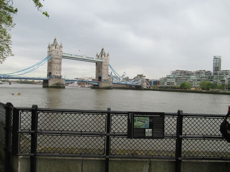
Behind the marker is the River Thames and Tower Bridge.
Other markers no longer nearby. Saluting Battery (was here, next to this marker but has been permanently removed); The Queen’s Stairs (was a few steps from this marker but has been permanently removed); Western entrance (was a few steps from this marker but has been replaced with another marker now near it); The Byward Postern (was within shouting distance of this marker but has been replaced with another marker now near it); The Tower Wharf (was within shouting distance of this marker but has been permanently removed); The Bell Tower (was within shouting distance of this marker but has been replaced with another marker now near it).
Also see . . .
1. Tower of London. (Submitted on May 14, 2018, by Michael Herrick of Southbury, Connecticut.)
2. Tower of London on Wikipedia. (Submitted on May 14, 2018, by Michael Herrick of Southbury, Connecticut.)
Photographed by Michael Herrick
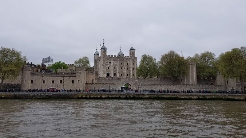
3. The Tower of London from the River Thames
Credits. This page was last revised on October 6, 2026. It was originally submitted on May 14, 2018, by Michael Herrick of Southbury, Connecticut. This page has been viewed 416 times since then and 36 times this year. Last updated on October 3, 2026, by Ian Lefkowitz of New York, New York. Photos: 1, 2, 3. submitted on May 14, 2018, by Michael Herrick of Southbury, Connecticut. • Devry Becker Jones was the editor who published this page.
