Keystone in Pennington County, South Dakota — The American Midwest (Upper Plains)
William and Jennie Franklin
Photographed by William Fischer, Jr., September 21, 2026
1. William and Jennie Franklin Marker
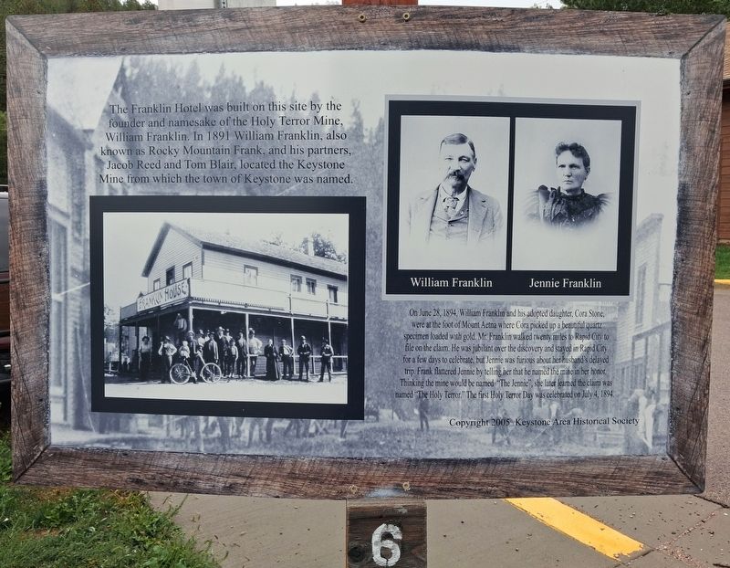
The Franklin Hotel was built on this site by the founder and namesake of the Holy Terror Mine, William Franklin. In 1891 William Franklin, also known as Rocky Mountain Frank, and his partners, Jacob Reed and Tom Blair, located the Keystone Mine from which the town of Keystone was named.
On June 28, 1894, William Franklin and his adopted daughter, Cora Stone, were at the foot of Mount Aetna where Cora picked up a beautiful quartz specimen loaded with gold. Mr. Franklin walked twenty miles to Rapid City to file on the claim. He was jubilant over the discovery and stayed in Rapid City for a few days to celebrate, but Jennie was furious about her husband's delayed trip. Frank flattered Jennie by telling her that he named the mine in her honor. Thinking the mine would be named "The Jennie", she later learned the claim was named "The Holy Terror.” The first Holy Terror Day was celebrated on July 4, 1894.
Erected 2005 by Keystone Area Historical Society. (Marker Number 6.)
Topics. This historical marker is listed in these topic lists: Exploration • Industry & Commerce • Settlements & Settlers
this page online
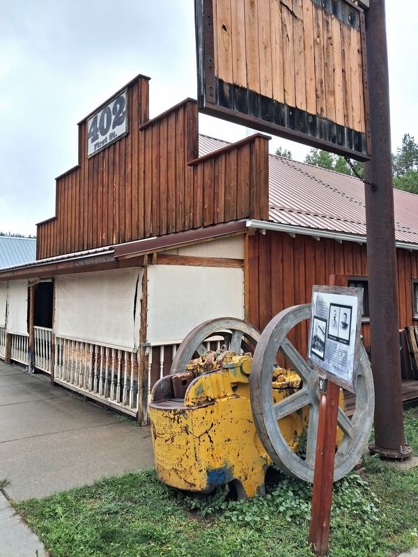
Location. 43° 53.736′ N, 103° 25.109′ W. Marker is in Keystone, South Dakota, in Pennington County. It is at the intersection of 1st Street (State Highway 40) and Franklin Street, on the right when traveling north on 1st Street. Touch for map. Marker is at or near this postal address: 402 1st Street, Keystone SD 57751, United States of America. Touch for directions.

Regionally, this marker is in West River, in the Badlands, and in Greater Rapid City. It is also in the American Black Hills, in the Lewis & Clark Corridor, on the prairies, and on the Northern Plains. Globally, it is in North America, the Western Hemisphere, the Western World, and the Anglosphere. Historically, it finds itself in what was once Rupert’s Land and also the Louisiana Purchase.
Other nearby markers. At least 8 other markers are within walking distance of this marker: Tom Hoy and the Hoy Drug Store (a few steps from this marker); Site of the McDonald Hotel (within shouting distance of this marker); Hayes-Hopkins Supply Company (within shouting distance of this marker); US Forest Service Icehouse
Photographed by William Fischer, Jr., September 21, 2026
2. William and Jennie Franklin Marker
Also see . . . Historic Keystone Walking Tour. (Submitted on October 3, 2026, by William Fischer, Jr. of Reynoldsburg, Ohio.)
Credits. This page was last revised on October 3, 2026. It was originally submitted on October 3, 2026, by William Fischer, Jr. of Reynoldsburg, Ohio. This page has been viewed 4 times since then. Photos: 1, 2. submitted on October 3, 2026, by William Fischer, Jr. of Reynoldsburg, Ohio.
