Pike in Benton in Grafton County, New Hampshire — The American Northeast (New England)
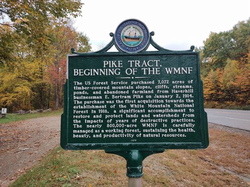
Pike Tract, Beginning of the WMNF
Photographed by Jimmy Emerson, October 2, 2026
1. Pike Tract, Beginning of the WMNF Marker
Erected 2015 by New Hampshire Division of Historical Resources. (Marker Number 245.)
Topics and series. This historical marker is listed in these topic lists: Environment • Horticulture & Forestry. In addition, it is included in the New Hampshire Historical Highway Markers series list. A significant historical date for this entry is January 2, 1914.
Location. 44° 0.193′ N, 71° 55.869′ W. Marker is in Benton, New Hampshire, in Grafton County. It is in Pike. It is on NH Hwy 25 near Boucher Road, on the left when traveling south. Touch for map. Marker is in this
this page online

Regionally, this marker is in the White Mountains. It is also in the American Northeast and in New England. Globally, it is in North America, the Great North Woods, the Western Hemisphere, the Western World, and the Anglosphere. Historically, it finds itself in what was once one of the original Thirteen Colonies.
Other nearby markers. At least 8 other markers are within 8 miles of this marker, measured as the crow flies: Sarah Whitcher and the Bear (approx. 2.7 miles away); Norris Cotton (approx. 5.7 miles away); Haverhill World War Memorial (approx. 6.9 miles away); Haverhill Corner Historic District (approx. 6.9 miles away); The Night the Bomber Crashed (approx. 7.4 miles away); Soldiers of Haverhill Memorial (approx. 7.6 miles away); Terminal Of Coos Road (approx. 7.6 miles away); The Bedell Bridge (approx. 7.7 miles away).
Photographed by Jimmy Emerson, October 2, 2026
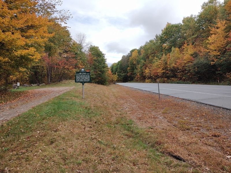
2. Pike Tract, Beginning of the WMNF Marker
Credits. This page was last revised on October 14, 2026. It was originally submitted on October 4, 2026, by Jimmy Emerson of Dalton, Georgia. This page has been viewed 10 times since then. Photos: 1, 2. submitted on October 4, 2026, by Jimmy Emerson of Dalton, Georgia. • Andrew Ruppenstein was the editor who published this page.
