Pennsville in Pennsville Township in Salem County, New Jersey — The American Northeast (Mid-Atlantic)
Means of Communication
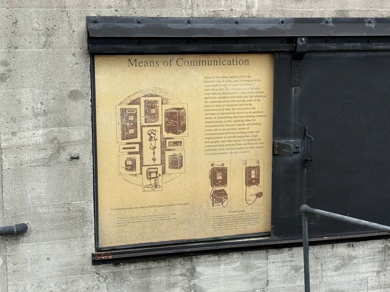
Some of the means employed for the transmission of orders and information in the coast artillery service were as follows: radiotelegraphy for communication between coast-defense headquarters, other radio stations, and boats equipped with radio sets; the telephone and boats equipped with radioi sets; the telephone for communications between the units of the tactical chain of command and for the transmission of data; the electrical or the mechanical transmission device as an auxiliary means of transmitting data from plotting rooms to emplacements or pits; speaking tubes for communication between stations and plotting rooms and as an auxiliary means of communication between plotting rooms and emplacements or powder magazines; flags, heliographs, and other means of signaling for communication between forts and between forts and boats when radiotelegraphy or other means of communication are not installed.
Erected by New Jersey Division of Parks and Forestry.
Topics. This historical marker is listed in these topic lists: Communications • Forts and Castles • Military • Waterways & Vessels.
Location. 39° 36.214′ N,
this page online

Regionally, this marker is in Greater Wilmington, in South Jersey, and in Greater Philadelphia. It is also in the American Northeast, in the Mid-Atlantic, and on the Eastern Seaboard. Globally, it is in the North Atlantic Region, North America, the Western Hemisphere, the Western World, and the Anglosphere. Historically, it finds itself in what was once New Netherland and also one of the original Thirteen Colonies.
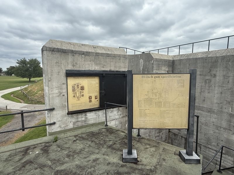
Other nearby markers. At least 8 other markers are within walking distance of this marker: Gun platform features (here, next to this marker); Loading and firing 10-inch guns on Disappearing Carriages. (a few steps from this marker); Battery Harker (a few steps from this marker); Battery Gregg (within shouting distance of this marker); The Wharf (within shouting
Credits. This page was last revised on October 9, 2026. It was originally submitted on October 4, 2026, by Devry Becker Jones of Washington, District of Columbia. This page has been viewed 5 times since then. Photos: 1, 2. submitted on October 4, 2026, by Devry Becker Jones of Washington, District of Columbia.
