Historic District in St. Augustine in St. Johns County, Florida — The American South (South Atlantic)
Potter’s Field
Old Town St. Augustine
Photographed by Stephen Thomas White, March 30, 2026
1. Potter’s Field Marker
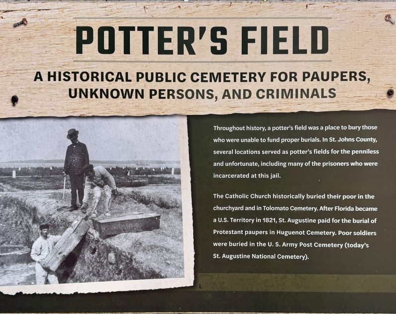
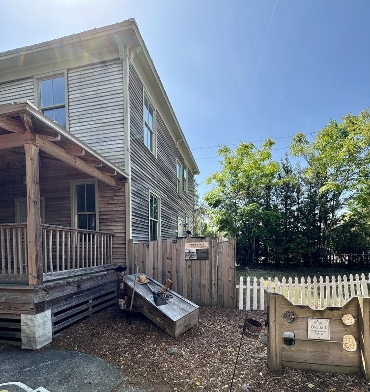
Throughout history, a potter's field was a place to bury those who were unable to fund proper burials. In St. Johns County, several locations served as potter's fields for the penniless and unfortunate, including many of the prisoners who were incarcerated at this jail.
The Catholic Church historically buried their poor in the churchyard and in Tolomato Cemetery. After Florida became a U.S. Territory in 1821, St. Augustine paid for the burial of Protestant paupers in Huguenot Cemetery. Poor soldiers were buried in the U.S. Army Post Cemetery (today's St. Augustine National Cemetery).
Erected by Old Town St. Augustine.
Topics. This historical marker is listed in this topic list: Cemeteries & Burial Sites. A significant historical year for this entry is 1821.
Location. 29° 54.467′ N, 81° 19.112′ W. Marker is in St. Augustine, Florida, in St. Johns County. It is in the Historic District. It is at the intersection of San Marco Avenue and Dufferin Street, on the left when traveling south on San Marco Avenue. The marker is located within
this page online

Regionally, this marker is in First Coast and in Greater Jacksonville. It is also in the American South and on the Eastern Seaboard. Globally, it is in the North Atlantic Region, North America, a Gulf of Mexico state, the Western Hemisphere, the Western World, and the Anglosphere. Historically, it finds itself in what was once New Spain, the territory of the Mississippian Culture, one of the Confederate States of America, and the Antebellum South.
Other nearby markers. At least 8 other markers are within walking distance of this marker: The 1910 Mary Peck House (here, next to this marker); The 1899-1904 Wiles Houses (within shouting distance of this marker); The Old Jail (within shouting distance of this marker); The Old St. Johns County Jail (within shouting distance of this marker); Sheriff’s Police Car (within shouting distance of this marker); Down on the Farm (within shouting distance of this marker); Cracker Horses
Photographed by Stephen Thomas White, March 30, 2026
2. Potter’s Field Marker
Also see . . . Old Huguenot Cemetery. (Submitted on October 4, 2026, by Stephen Thomas White of Norfolk, Virginia.)
Credits. This page was last revised on October 4, 2026. It was originally submitted on October 4, 2026, by Stephen Thomas White of Norfolk, Virginia. This page has been viewed 12 times since then. Photos: 1, 2. submitted on October 4, 2026, by Stephen Thomas White of Norfolk, Virginia. • Andrew Ruppenstein was the editor who published this page.
