Keystone in Pennington County, South Dakota — The American Midwest (Upper Plains)
Mountain View Cemetery
Photographed by William Fischer, Jr., September 22, 2026
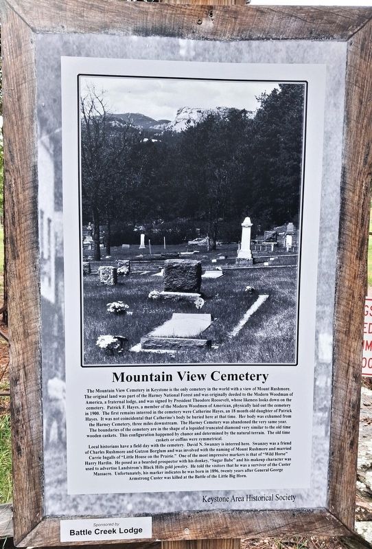
1. Mountain View Cemetery Marker
The Mountain View Cemetery in Keystone is the only cemetery in the world with a view of Mount Rushmore. The original land was part of the Harney National Forest and was originally deeded to the Modern Woodmen of America, a fraternal lodge, and was signed by President Theodore Roosevelt, whose likeness looks down on the cemetery. Patrick F. Hayes, a member of the Modern Woodmen of American [sic], physically laid out the cemetery in 1900. The first remains interred in the cemetery were Catherine Hayes, an 18 month old daughter of Patrick Hayes. It was not coincidental that Catherine's body be buried here at that time. Her body was exhumed from the Harney Cemetery, three miles downstream. The Harney Cemetery was abandoned the very same year. The boundaries of the cemetery are in the shape of a lopsided truncated diamond very similar to the old time wooden caskets. This configuration happened by chance and determined by the natural terrain. The old time caskets or coffins were symmetrical.
Local historians have a field day with the cemetery. David N. Swanzey is interred here. Swanzey was a friend of Charles Rushmore and Gutzon Borglum and was involved with the naming of Mount Rushmore and married Carrie Ingalls of "Little House on the Prairie." One of the most impressive markers is that of "Wild Horse" Harry Hardin. He posed as a bearded prospector with his donkey, "Sugar Babe" and his makeup character was used to advertise Landstrom's Black Hills gold jewelry. He told the visitors that he was a survivor of the Custer Massacre. Unfortunately, his marker indicates he was born in 1896, twenty years after General George Armstrong Custer was killed at the Battle of the Little Big Horn.
Erected by Keystone Area Historical Society. (Marker Number C.)
Topics. This historical marker is listed in this
this page online
Location. 43° 53.001′ N, 103° 25.049′ W. Marker is in Keystone, South Dakota, in Pennington County. It can be reached from no nearby street. The cemetery entrance is about 150 feet east of Cemetery Road on a marked drive. Touch for map. Marker is in this post office area: Keystone SD 57751, United States of America. Touch for directions.

Regionally, this marker is in West River, in the Badlands, and in Greater Rapid City. It is also in the American Black Hills, in the Lewis & Clark Corridor, on the prairies, and on the Northern Plains. Globally, it is in North America, the Western Hemisphere, the Western World, and the Anglosphere. Historically, it finds itself in what was once Rupert’s Land and also the Louisiana Purchase.
Other nearby markers. At least 8 other markers are within walking distance of this marker: Martha Linde's Special Golden Valley and Hesnard Museum (approx. half a mile away); Flooded with Memories (approx. 0.7 miles away); Purchasing The Slaves' Freedom (approx. 0.7 miles away); William Jennings Bryan (approx. 0.7
Photographed by William Fischer, Jr., September 22, 2026
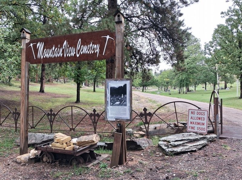
2. Mountain View Cemetery and Marker
Photographed by William Fischer, Jr., September 22, 2026
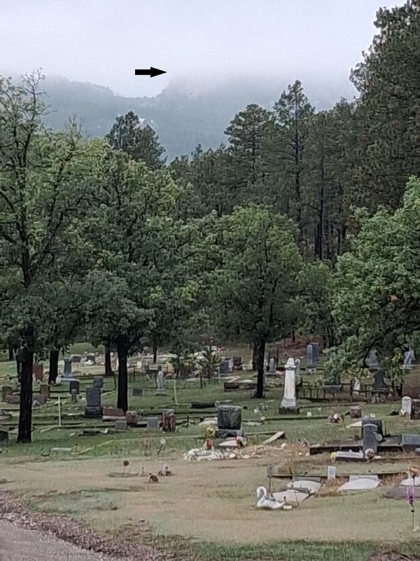
3. View of Mount Rushmore from Mountain View Cemetery
Unfortunately, shrouded by clouds this day
Credits. This page was last revised on October 28, 2026. It was originally submitted on October 4, 2026, by William Fischer, Jr. of Reynoldsburg, Ohio. This page has been viewed 15 times since then. Photos: 1, 2, 3. submitted on October 4, 2026, by William Fischer, Jr. of Reynoldsburg, Ohio.
