Fall River in Bristol County, Massachusetts — The American Northeast (New England)
White Star Line
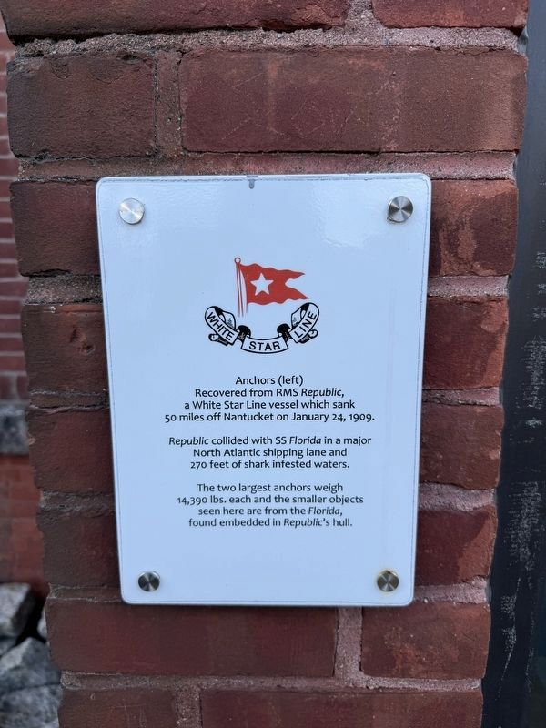
Republic collided with SS Florida in a major North Atlantic shipping lane and 270 feet of shark infested waters.
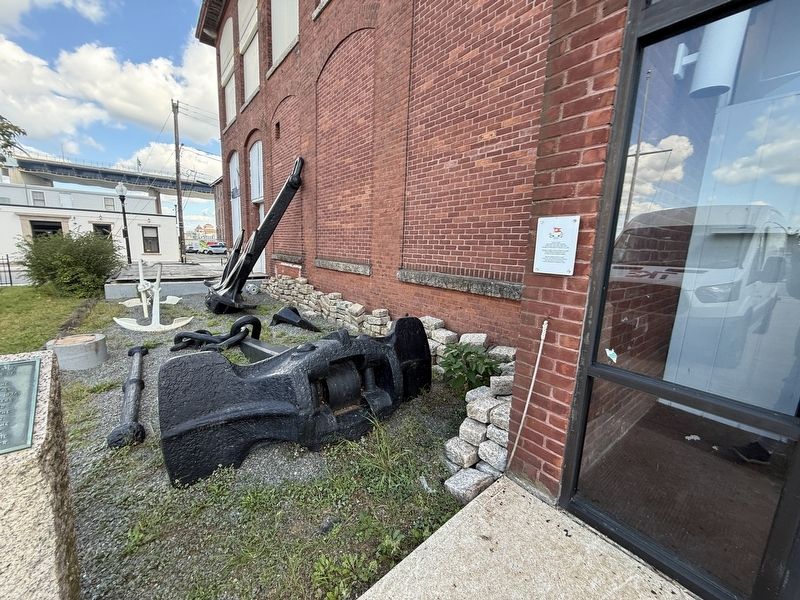
The two largest anchors weigh 14,390 lbs. each and the smaller objects seen here are from the Florida, found embedded in Republic's hull.
Erected by Maritime Museum at Battleship Cove.
Topics. This historical marker is listed in these topic lists: Disasters • Industry & Commerce • Waterways & Vessels. A significant historical date for this entry is January 24, 1909.
Location. 41° 42.17′ N, 71° 9.824′ W. Marker is in Fall River, Massachusetts, in Bristol County. It is on Water Street south of Anawan Street, on the right when traveling north. Touch for map. Marker is at or near this postal address: 70 Water St, Fall River MA 02721, United States of America. Touch for directions.

Regionally, this marker is in the South Coast. It is also in the American Northeast, in New England, and on the Eastern Seaboard. Globally, it is in the North Atlantic Region, North America, the Western
this page online
Other nearby markers. At least 8 other markers are within walking distance of this marker: Gates of the City (about 400 feet away, measured in a direct line); Portuguese Presidential Visit (about 400 feet away); Fall River Whaling (about 600 feet away); American Print (about 600 feet away); Fall River Line: Floating Palaces (about 600 feet away); Mechanics Mill (about 600 feet away); Fall River and Ponta Delgada, Sister Cities (about 600 feet away); "Hortensia" (about 600 feet away). Touch for a list and map of all markers in Fall River.
Credits. This page was last revised on October 5, 2026. It was originally submitted on October 5, 2026, by Devry Becker Jones of Washington, District of Columbia. This page has been viewed 4 times since then. Photos: 1, 2. submitted on October 5, 2026, by Devry Becker Jones of Washington, District of Columbia.
