Oreville in Pennington County, South Dakota — The American Midwest (Upper Plains)
Halfway to where?
Photographed by William Fischer, Jr., September 22, 2026
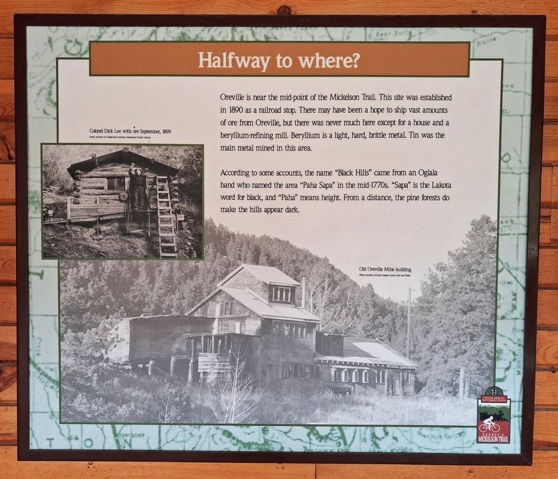
1. Halfway to where? Marker
Oreville is near the mid-point of the Mickelson Trail. This site was established in 1890 as a railroad stop. There may have been a hope to ship vast amounts of ore from Oreville, but there was never much here except for a house and a beryllium-refining mill. Beryllium is a light, hard, brittle metal. Tin was the main metal mined in this area.
According to some accounts, the name "Black Hills" came from an Oglala band who named the area "Paha Sapa" in the mid-1770s. "Sapa" is the Lakota word for black, and "Paha" means height. From a distance, the pine forests do make the hills appear dark.
[Photo captions, top and bottom, read]
• Colonel Dick Lee with ore · September, 1899
• Old Oreville Mine building
Erected by George A. Mickelson Trail.
Topics. This historical marker is listed in these topic lists: Environment • Exploration • Industry & Commerce • Settlements & Settlers. A significant historical year for this entry is 1890.
Location. 43° 52.486′ N, 103° 36.947′ W. Marker is in Oreville, South Dakota, in Pennington County. It is on U.S. 16/385, on the right when traveling south. Marker is in
this page online

Regionally, this marker is in West River, in the Badlands, and in Greater Rapid City. It is also in the American Black Hills, in the Lewis & Clark Corridor, on the prairies, and on the Northern Plains. Globally, it is in North America, the Western Hemisphere, the Western World, and the Anglosphere. Historically, it finds itself in what was once Rupert’s Land and also the Louisiana Purchase.
Other nearby markers. At least 8 other markers are within 5 miles of this marker, measured as the crow flies: I've Been Working on the Railroad (approx. 2.9 miles away); Scale Model of Crazy Horse (approx. 3.3 miles away); Death Song (approx. 3.3 miles away); 9-11 Memorial (approx. 3.4 miles away); A Changing Landscape (approx. 3.4 miles away); The Hearst Highway (approx. 4 miles away); Crazy Horse Memorial (approx. 4.1 miles away); The Little White Church (approx. 4.1 miles away).
More about this marker. There is a highway pulloff about 125 yards south of the pavilion.
Photographed by William Fischer, Jr., September 22, 2026
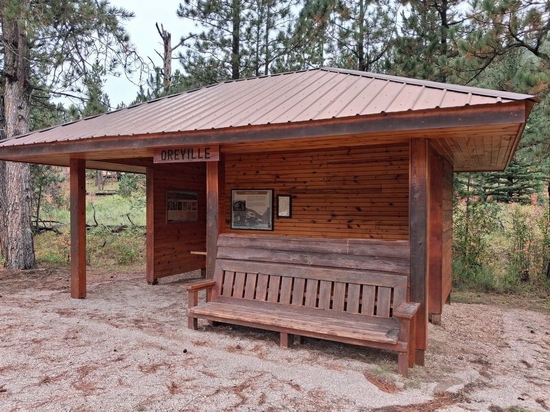
2. Halfway to where? Marker in Oreville Pavilion
Photographed by William Fischer, Jr., September 22, 2026
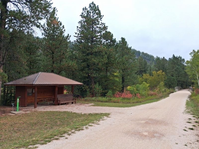
3. Oreville Pavilion along Mickelson Trail
Looking northeast
Photographed by William Fischer, Jr., September 22, 2026
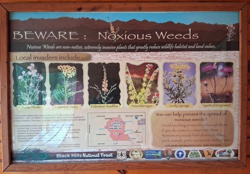
4. Noxious Weeds Marker
Informational marker in pavilion; not transcribed
Credits. This page was last revised on October 5, 2026. It was originally submitted on October 5, 2026, by William Fischer, Jr. of Reynoldsburg, Ohio. This page has been viewed 7 times since then. Photos: 1, 2, 3, 4. submitted on October 5, 2026, by William Fischer, Jr. of Reynoldsburg, Ohio.
