Huntington in Huntington County, Indiana — The American Midwest (Great Lakes)
The Wabash & Erie Canal
| — | Archbishop Noll Trail | — |
Photographed by Craig Doda, September 13, 2026
1. The Wabash & Erie Canal Marker
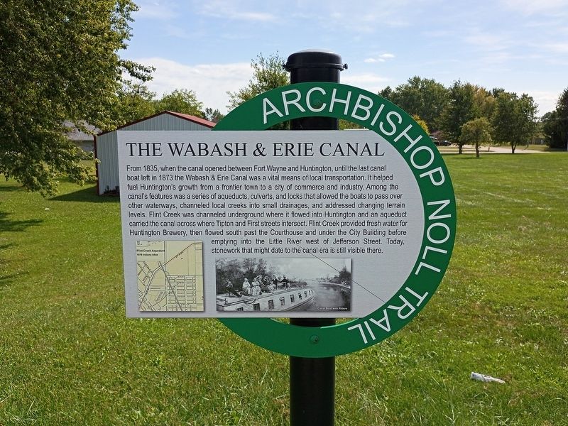
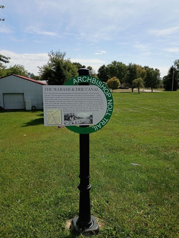
From 1835, when the canal opened between Fort Wayne and Huntington, until the last canal boat left in 1873 the Wabash & Erie Canal was a vital means of local transportation. It helped fuel Huntington's growth from a frontier town to a city of commerce and industry. Among the canal's features was a series of aqueducts, culverts, and locks that allowed the boats to pass over other waterways, channeled local creeks into small drainages, and addressed changing terrain levels. Flint Creek was channeled underground where it flowed into Huntington and an aqueduct carried the canal across where Tipton and First streets intersect. Flint Creek provided fresh water for Huntington Brewery, then flowed south past the Courthouse and under the City Building before emptying into the Little River west of Jefferson Street. Today, stonework that might date to the canal era is still visible there.
Topics and series. This historical marker is listed in these topic lists: Industry & Commerce • Waterways & Vessels. In addition, it is included in the Wabash & Erie Canal series list. A significant historical year for this entry is 1835.
Location. 40° 53.542′ N,
this page online

Regionally, this marker is in Northern Indiana. It is also in the American Midwest and in the Corn Belt. Globally, it is in North America, the Western Hemisphere, the Western World, and the Anglosphere. Historically, it finds itself in what was once the territory of the Mississippian Culture and also the Northwest Territory.
Other nearby markers. At least 8 other markers are within walking distance of this marker: The Erie Viaduct (approx. 0.2 miles away); A Business By Any Name (approx. 0.2 miles away); Fred A. Loew (approx. 0.6 miles away); a different marker also named Fred A. Loew (approx. 0.7 miles away); Huntington County Civil War Memorial (approx. 0.7 miles away); Huntington High School / General James R. Slack 1818 - 1881 (approx. 0.7 miles away); Old Plat Historic District
Photographed by Craig Doda, September 13, 2026
2. The Wabash & Erie Canal Marker
Credits. This page was last revised on October 9, 2026. It was originally submitted on October 5, 2026, by Craig Doda of Napoleon, Ohio. This page has been viewed 5 times since then. Photos: 1, 2. submitted on October 5, 2026, by Craig Doda of Napoleon, Ohio. • Devry Becker Jones was the editor who published this page.
