Honesdale in Wayne County, Pennsylvania — The American Northeast (Mid-Atlantic)
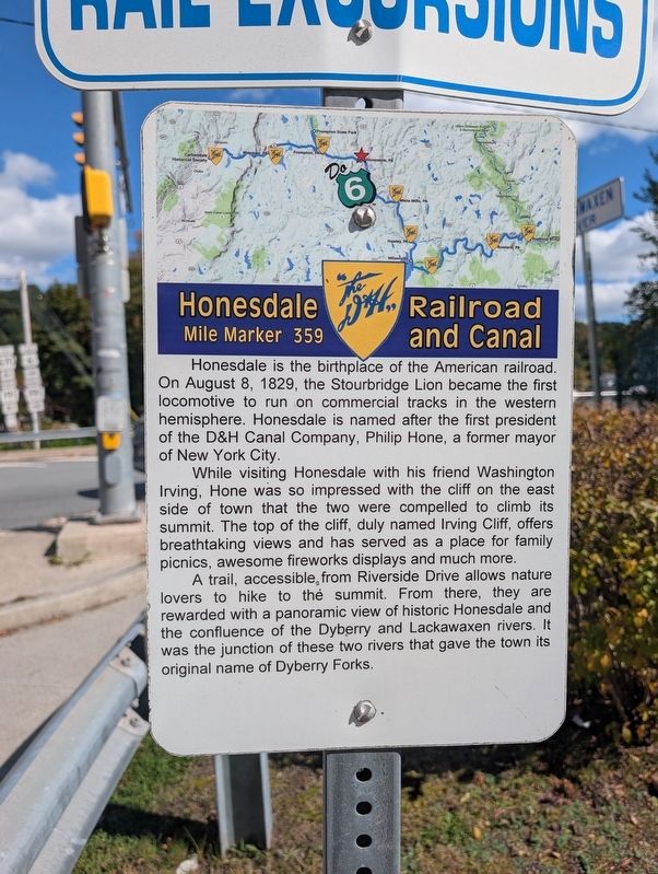
Honesdale Railroad and Canal
Photographed by Mike Wintermantel, October 3, 2026
1. Honesdale Railroad and Canal Marker
While visiting Honesdale with his friend Washington Irving, Hone was so impressed with the cliff on the east side of town that the two were compelled to climb its summit. The top of the cliff, duly named Irving Cliff, offers breathtaking views and has served as a place for family picnics, awesome fireworks displays and much more.
A trail, accessible, from Riverside Drive allows nature lovers to hike to the summit. From there, they are rewarded with a panoramic view of historic Honesdale and the confluence of the Dyberry and Lackawaxen rivers. It was the junction of these two rivers that gave the town its original name of Dyberry Forks.
Topics. This historical marker is listed in these topic lists: Railroads & Streetcars • Waterways & Vessels. A significant historical date for this entry is August 8, 1829.
Location. 41° 34.611′ N, 75° 15.492′ W.
this page online

Regionally, this marker is in the Pocono Mountains. It is also in the American Northeast, in the Mid-Atlantic, in Appalachia, and specifically in Northern Appalachia. Globally, it is in North America, the Western Hemisphere, the Western World, and the Anglosphere. Historically, it finds itself in what was once the Haudenosaunee (Iroquois) Confederacy and also one of the original Thirteen Colonies.
Other nearby markers. At least 8 other markers are within walking distance of this marker: Stourbridge Lion (a few steps from this marker); Heroes of 1776-Residents of Wayne County (within shouting distance of this marker); Lackawaxen River (within shouting distance of this marker); a different marker also named The Stourbridge Lion (within shouting distance of this marker); Snubbing Post (within
Photographed by Mike Wintermantel, October 3, 2026
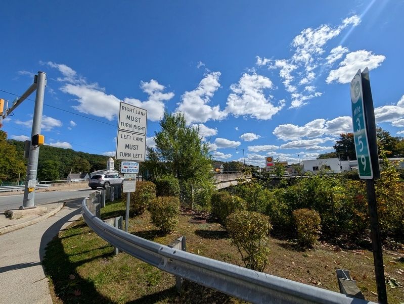
2. Honesdale Railroad and Canal Marker
Credits. This page was last revised on October 5, 2026. It was originally submitted on October 5, 2026, by Mike Wintermantel of Pittsburgh, Pennsylvania. This page has been viewed 5 times since then. Photos: 1, 2. submitted on October 5, 2026, by Mike Wintermantel of Pittsburgh, Pennsylvania.
