South Murderkill Hundred in Frederica in Kent County, Delaware — The American Northeast (Mid-Atlantic)
20 Tooth Oyster Dredge
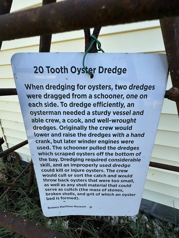
Photographed by Pete Skillman, October 5, 2026
1. 20 Tooth Oyster Dredge Marker
Erected by Bowers Maritime Museum.
Topics. This historical marker is listed in these topic lists: Industry & Commerce • Waterways & Vessels.
Location. 39° 3.582′ N, 75° 24.129′ W. Marker is in Frederica, Delaware, in Kent County. It is in South Murderkill Hundred. It is on Main Street, on the right when traveling west. Touch for map. Marker is at or near this postal
this page online

Regionally, this marker is in the American Mid-Atlantic, on the Delmarva Peninsula, and on the Eastern Seaboard. Globally, it is in the North Atlantic Region, North America, the Western Hemisphere, the Western World, and the Anglosphere. Historically, it finds itself in what was once New Netherland, one of the original Thirteen Colonies, and the Antebellum South.
Other nearby markers. At least 8 other markers are within 4 miles of this marker, measured as the crow flies: Bowers Beach Maritime Museum (here, next to this marker); Town of Bowers (about 700 feet away, measured in a direct line); Kitts Hummock (approx. 3 miles away); St. Jones Neck (approx. 3.6 miles away); The St. Jones River: Why the Mansion Faces South (approx. 3.8 miles away); The Dickinsons in Delaware (approx. 3.9 miles away); Toward a Future Union (approx. 3.9 miles away); Barratt's Chapel (approx. 3.9 miles away). Touch for a list and map of all markers in Frederica.
Also see . . . Bowers Beach Maritime Museum. Website of the museum where this marker
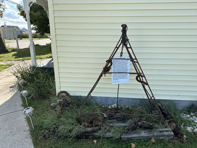
Photographed by Pete Skillman, October 5, 2026
2. 20 Tooth Oyster Dredge Marker - wide view
Credits. This page was last revised on October 5, 2026. It was originally submitted on October 5, 2026, by Pete Skillman of Wilmington, Delaware. This page has been viewed 7 times since then. Photos: 1, 2. submitted on October 5, 2026, by Pete Skillman of Wilmington, Delaware.
