Fall River in Bristol County, Massachusetts — The American Northeast (New England)
USS Massachusetts
BB 59
| — | 1942 - 1947 | — |
Photographed by Devry Becker Jones (CC0), September 18, 2026
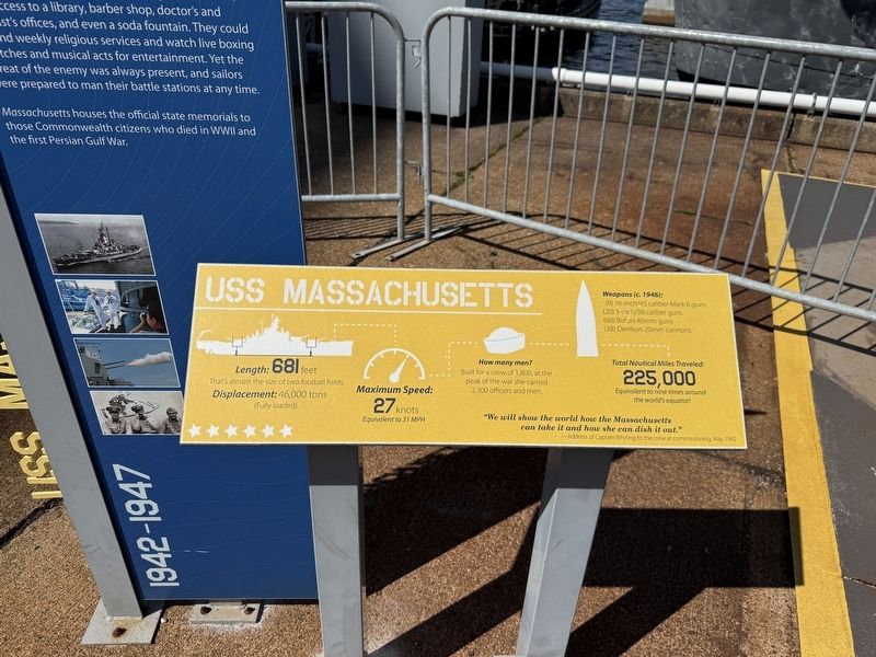
1. USS Massachusetts Marker [front plaque]
Length: 681 feet
That's almost the size of two football fields.
Displacement: 46,000 tons (Fully loaded)
Maximum Speed: 27 knots
Equivalent to 31 MPH
How many men?
Built for a crew of 1,800, at the peak of the war she carried 2,300 officers and men.
Weapons (c. 1946):
(9) 16-inch/45 caliber Mark 6 guns
(20) 5-inch/38 caliber guns
(60) Bofors 40 mm guns
(38) Oerlikon 20mm cannons
Total Nautical Miles Traveled: 225,000
Equivalent to nine times around the world's equator!
"We will show the world how the Massachusetts can take it and how she can dish it out."
-Address of Captain Whiting to the crew at commissioning, May 1942
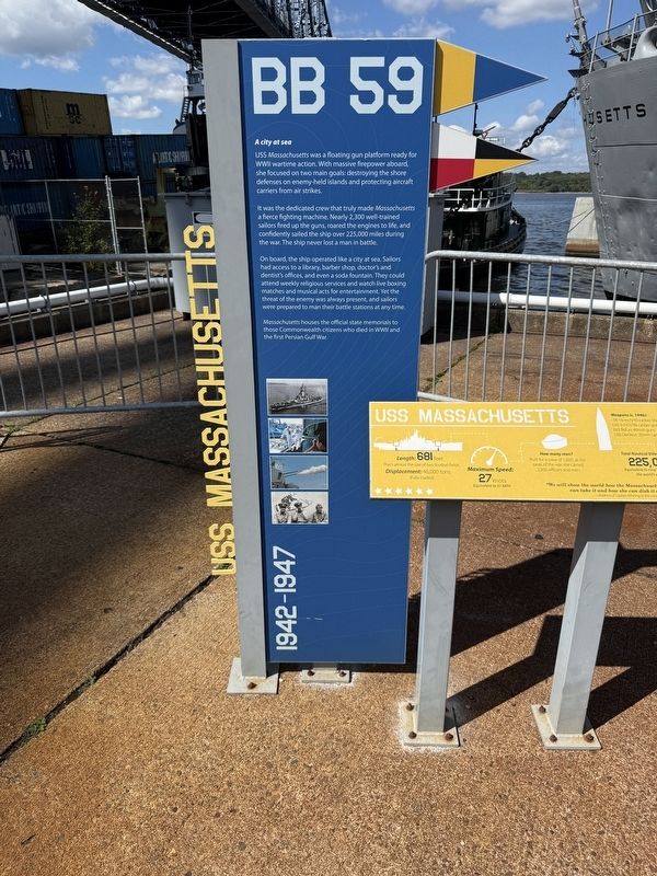
A city at sea
USS Massachusetts was a floating gun platform ready for WWII wartime action. With massive firepower aboard, she focused on two main goals: destroying the shore defenses on enemy-held islands and protecting aircraft carriers from air strikes.
It was the dedicated crew that truly made Massachusetts a fierce fighting machine. Nearly 2,300 well-trained sailors fired up the guns, roared the engines to life, and confidently sailed the ship over 225,000 miles
this page online
On board, the ship operated like a city at sea. Sailors had access to a library, barber shop, doctor's and dentist's offices, and even a soda fountain. They could attend weekly religious services and watch live boxing matches and musical acts for entertainment. Yet the threat of the enmy was always present, and sailors were prepared to man their battle stations at any time.
Massachusetts houses the official state memorials to those Commonwealth citizens who died in WWII and the first Persian Gulf War.
Topics. This historical marker is listed in these topic lists: War, World II • Waterways & Vessels. A significant historical month for this entry is May 1942.
Location. 41° 42.363′ N, 71° 9.814′ W. Marker is in Fall River, Massachusetts, in Bristol County. It can be reached from Water Street west of Davol Street, on the right when traveling west. Touch for map. Marker is at or near this postal address: 1 Water St, Fall River MA 02720, United States of America. Touch for directions.

Regionally, this marker is in the South Coast. It is also in the American Northeast, in New England,
Photographed by Devry Becker Jones (CC0), September 18, 2026
2. USS Massachusetts Marker [rear plaque]
Other nearby markers. At least 8 other markers are within walking distance of this marker: Welcome Aboard! (a few steps from this marker); USS Lionfish (within shouting distance of this marker); USS Joseph P. Kennedy Jr. (within shouting distance of this marker); Oerlikon 20mm (within shouting distance of this marker); 16-Inch Gun (within shouting distance of this marker); Pearl Harbor Memorial (within shouting distance of this marker); World War II (within shouting distance of this marker); Below Deck (within shouting distance of this marker). Touch for a list and map of all markers in Fall River.
Credits. This page was last revised on October 5, 2026. It was originally submitted on October 5, 2026, by Devry Becker Jones of Washington, District of Columbia. This page has been viewed 8 times since then. Photos: 1, 2, 3. submitted on October 5, 2026, by Devry Becker Jones of Washington, District of Columbia.
