Pringle in Custer County, South Dakota — The American Midwest (Upper Plains)
Point of Rocks
Photographed by William Fischer, Jr., September 25, 2026
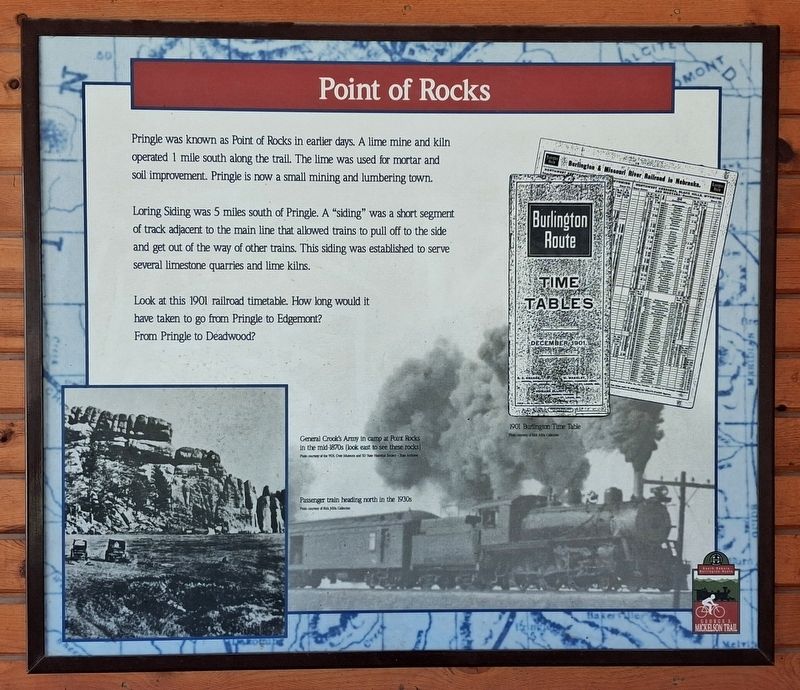
1. Point of Rocks Marker
Pringle was known as Point of Rocks in earlier days. A lime mine and kiln operated 1 mile south along the trail. The lime was used for mortar and soil improvement. Pringle is now a small mining and lumbering town.
Loring Siding was 5 miles south of Pringle. A "siding" was a short segment of track adjacent to the main line that allowed trains to pull off to the side and get out of the way of other trains. This siding was established to serve several limestone quarries and lime kilns.
Look at this 1901 railroad timetable. How long would it have taken to go from Pringle to Edgemont? From Pringle to Deadwood?
[Photo captions, left to right, read]
• General Grook's Army in camp at Port Rocks in the mid 1870s (look east to see these rocks)
• Passenger train heading north in the 1930s
• 1901 Burlington Time Table
Erected by South Dakota Game, Fish & Parks.
Topics. This historical marker is listed in these topic lists: Industry & Commerce • Parks & Recreational Areas • Railroads & Streetcars • Settlements & Settlers. A significant historical year for this entry is 1901.
Location. 43° 36.538′ N, 103° 35.579′ W.
this page online

Regionally, this marker is in West River and in Greater Rapid City. It is also in the American Black Hills, in the Lewis & Clark Corridor, on the prairies, and on the Northern Plains. Globally, it is in North America, the Western Hemisphere, the Western World, and the Anglosphere. Historically, it finds itself in what was once Rupert’s Land and also the Louisiana Purchase.
Other nearby markers. At least 8 other markers are within 6 miles of this marker, measured as the crow flies: Morgan & Ziemet Memorial (within shouting distance of this marker); 40 Gallon Soda and Acid Chemical Extinguisher (within shouting distance of this marker); The Pringle School Bell (within shouting distance of this marker); Discover the Black Hills National Forest (approx. 2.4 miles away); Cold Springs School & Cemetery (approx. 4.4 miles
Photographed by William Fischer, Jr., September 25, 2026
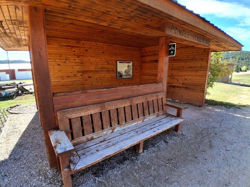
2. Point of Rocks Marker
Photographed by William Fischer, Jr., September 25, 2026
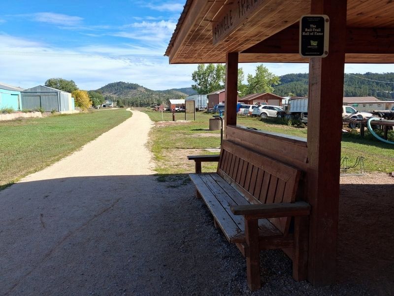
3. Looking north along the Mickelson Trail from the Pringle Pavilion
Credits. This page was last revised on October 6, 2026. It was originally submitted on October 6, 2026, by William Fischer, Jr. of Reynoldsburg, Ohio. This page has been viewed 8 times since then. Photos: 1, 2, 3. submitted on October 6, 2026, by William Fischer, Jr. of Reynoldsburg, Ohio.
