Near Hot Springs in Fall River County, South Dakota — The American Midwest (Upper Plains)
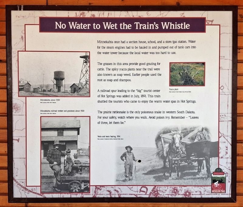
No Water To Wet The Train's Whistle
Photographed by William Fischer, Jr., September 25, 2026
1. No Water To Wet The Train's Whistle Marker
Minnekahta once had a section house, school, and a store/gas station. Water for the steam engines had to be hauled in and pumped out of tank cars into the water tower because the local water was too hard to use.
The grasses in this area provide good grazing for cattle. The spiky yucca plants near the trail were also known as soap weed. Earlier people used the root as soap and shampoo.
A railroad spur leading to the "big" tourist center of Hot Springs was added in July, 1891. This train shuttled the tourists who came to enjoy the warm water spas in Hot Springs.
The prairie rattlesnake is the only poisonous snake in western South Dakota. For your safety, watch where you walk. Avoid poison ivy. Remember - "Leaves of three, let them be."
[Photo captions, clockwise from top left, read]
• Minnekahta about 1920
• Yucca plant
• Vesta and team haying, 1914
• Minnekata railroad worker and grandson about 1920
Erected by South Dakota Game, Fish & Parks.
Topics. This historical marker is listed in these topic lists: Parks & Recreational Areas • Railroads & Streetcars • Settlements & Settlers. A significant historical month for this entry is July 1891.
Location. 43° 25.891′ N,
this page online

Regionally, this marker is in West River. It is also in the American Black Hills, in the Lewis & Clark Corridor, on the prairies, and on the Northern Plains. Globally, it is in North America, the Western Hemisphere, the Western World, and the Anglosphere. Historically, it finds itself in what was once Rupert’s Land and also the Louisiana Purchase.
Other nearby markers. At least 8 other markers are within 11 miles of this marker, measured as the crow flies: Battle the Blaze (approx. 4½ miles away); MAFFS 7 (approx. 4½ miles away); John Stevenson Robertson: Pioneer Horticulturalist (approx. 6.6 miles away); Camp Collier (approx. 7.8 miles away); Fire on the Edge (approx. 9.6 miles away); Wood Stage Station (approx. 10.8 miles
Photographed by William Fischer, Jr., September 25, 2026
2. No Water To Wet The Train's Whistle Marker
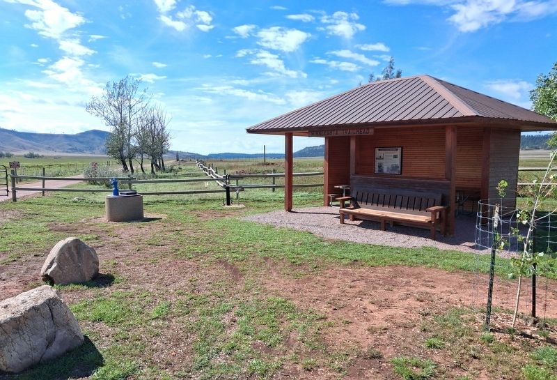
Under the Pavilion. Looking SSW.
Credits. This page was last revised on October 6, 2026. It was originally submitted on October 6, 2026, by William Fischer, Jr. of Reynoldsburg, Ohio. This page has been viewed 6 times since then. Photos: 1, 2. submitted on October 6, 2026, by William Fischer, Jr. of Reynoldsburg, Ohio.
