Stoystown in Somerset County, Pennsylvania — The American Northeast (Mid-Atlantic)
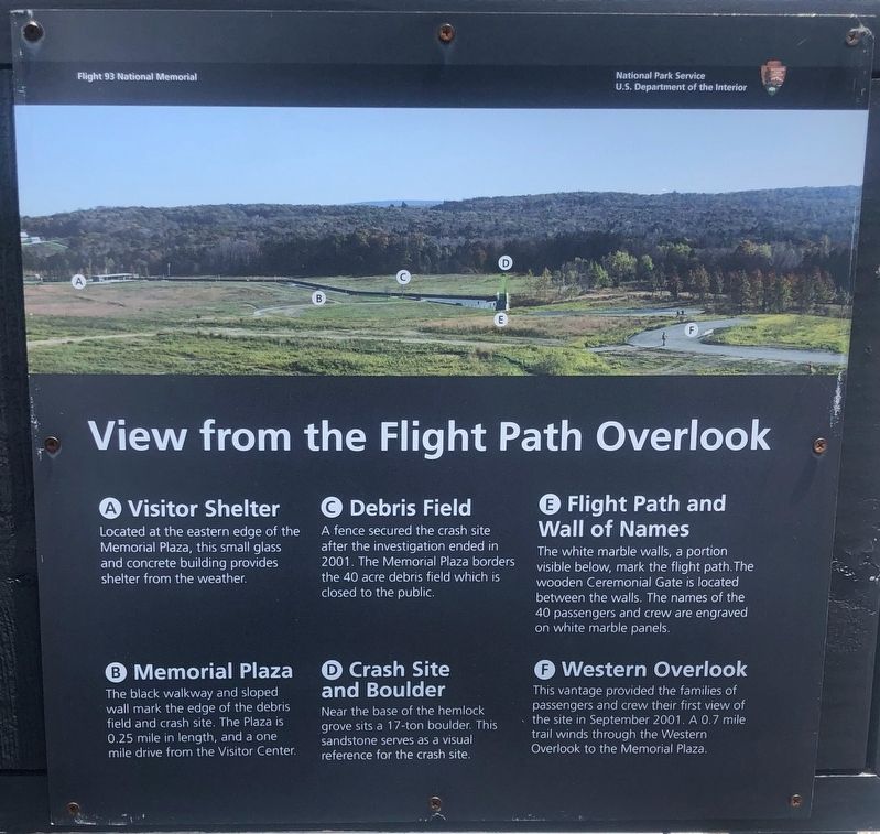
View from the Flight Path Overlook
Photographed by Sean P. Flynn, April 24, 2024
1. View from the Flight Path Overlook Marker
A. Visitor Shelter
Located at the eastern edge of the Memorial Plaza, this small glass and concrete building provides shelter from the weather.
B. Memorial Plaza
The black walkway and sloped wall mark the edge of the debris field and crash site. The Plaza is 0.25 mile in length, and a one mile drive from the Visitor Center.
C. Debris Field
A fence secured the crash site after the investigation ended in 2001. The Memorial Plaza borders the 40 acre debris field which is closed to the public.
D. Crash Site and Boulder
Near the base of the hemlock grove sits a 17-ton boulder. This sandstone serves as a visual reference for the crash site.
E. Flight Path and Wall of Names
The white marble walls, a portion visible below, mark the flight path. The wooden Ceremonial Gate is located between the walls. The names of the 40 passengers and crew are engraved on white marble panels.
F. Western Overlook
This vantage provided the families of passengers and crew their first view of the site in September 2001. A 0.7 mile trail winds through the Western Overlook to the Memorial Plaza.
Erected by National Park Service.
this page online
Topics. This historical marker is listed in these topic lists: 9/11 Attacks • Disasters • Parks & Recreational Areas. A significant historical date for this entry is September 11, 2001.
Location. 40° 3.351′ N, 78° 54.363′ W. Marker is in Stoystown, Pennsylvania, in Somerset County. It can be reached from Ring Road. The sign is on the platform that overlooks the crash site at the Flight 93 National Memorial. Touch for map. Marker is in this post office area: Stoystown PA 15563, United States of America. Touch for directions.

Regionally, this marker is in the Laurel Highlands. It is also in the American Northeast, in the Mid-Atlantic, in Appalachia, and specifically in Northern Appalachia. Globally, it is in North America, the Western Hemisphere, the Western World, and the Anglosphere. Historically, it finds itself in what was once the Haudenosaunee (Iroquois) Confederacy and also one of the original Thirteen Colonies.
Other nearby markers. At least 8 other markers are within walking distance of this marker: Welcome To Flight 93 National Memorial (a few steps from this marker); Flight 93 (within shouting distance of this marker);
Photographed by Sean P. Flynn
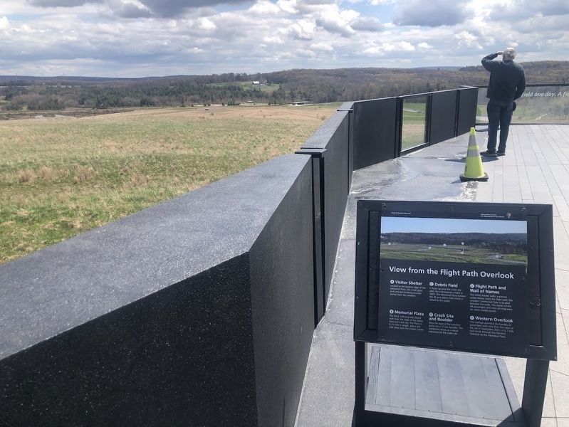
2. View from the Flight Path Overlook Marker
Another marker is no longer nearby. View from the Flight Path Overlook (was a few steps from this marker but has been replaced with another marker now near it).
Photographed by Sean P. Flynn
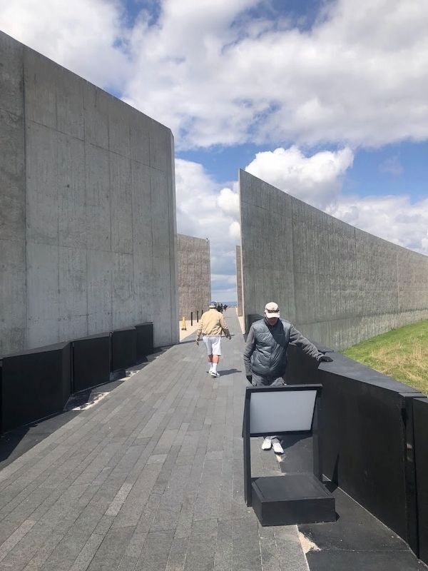
3. View from the Flight Path Overlook Marker, facing away from crash site
Photographed by Sean P. Flynn, April 24, 2024
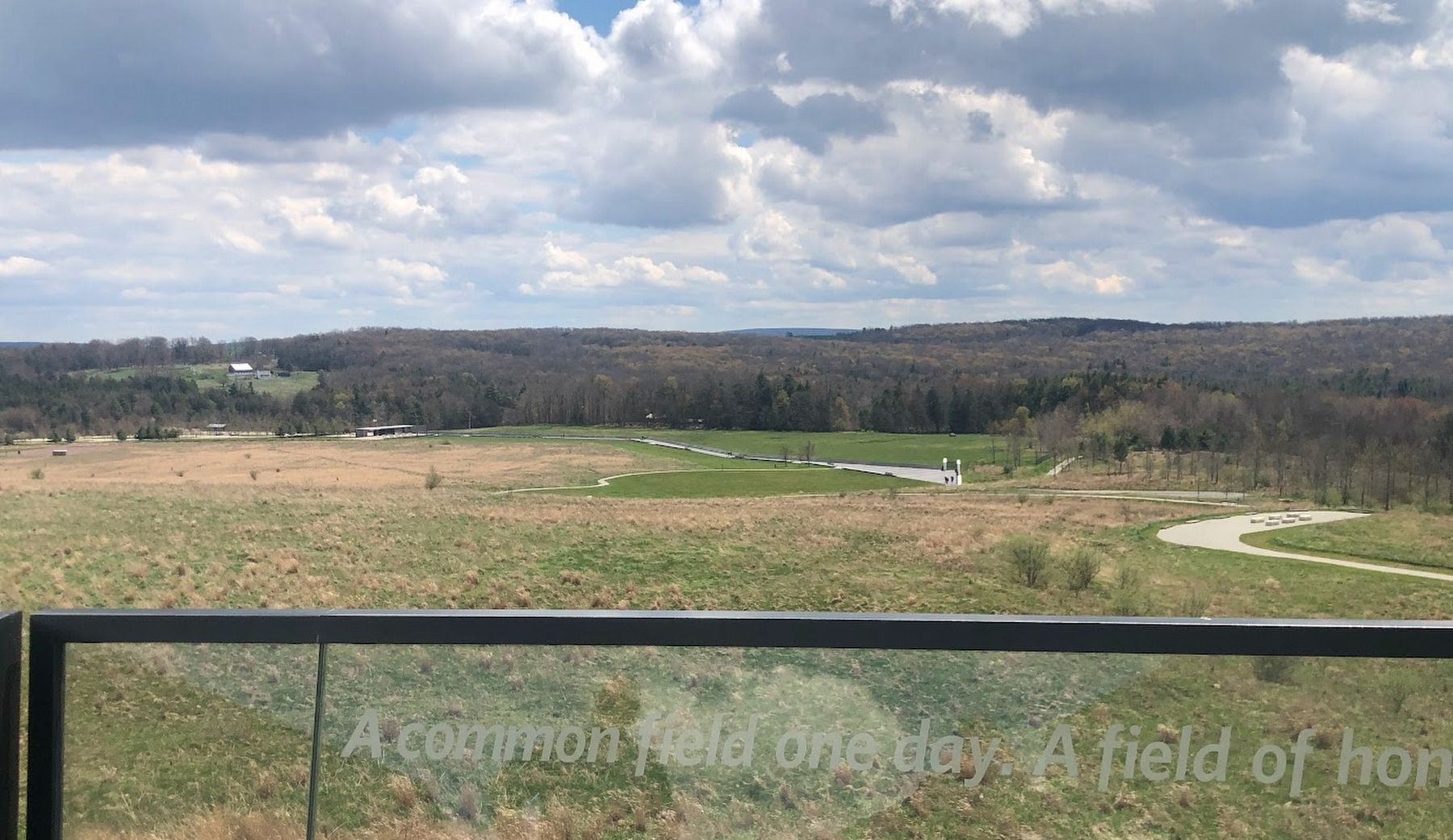
4. View of the Flight 93 crash site from the overlook
Credits. This page was last revised on October 6, 2026. It was originally submitted on October 6, 2026, by Sean P. Flynn of Oak Park, Illinois. This page has been viewed 12 times since then. Photos: 1, 2, 3, 4. submitted on October 6, 2026, by Sean P. Flynn of Oak Park, Illinois.
