Troy in Rensselaer County, New York — The American Northeast (Mid-Atlantic)
History of Sage Park
Photographed by Trudi Jacobson, October 6, 2026
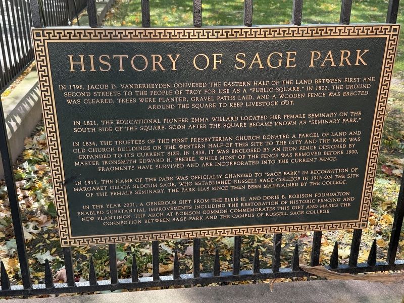
1. History of Sage Park Marker
In 1796, Jacob D. Vanderheyden conveyed the eastern half of the land between First and Second Streets to the people of Troy for use as a "public square." In 1802, the ground was cleared, trees were planted, gravel paths laid, and a wooden fence was erected around the square to keep livestock out.
In 1821, the educational pioneer Emma Willard located her female seminary on the south side of the square. Soon after the square became known as "Seminary Park."
In 1834, the trustees of the First Presbyterian Church donated a parcel of land and old church buildings on the western half of this site to the city and the park was expanded to its current size. In 1838, it was enclosed by an iron fence designed by master ironsmith Edward H. Beebee. While most of the fence was removed before 1900, fragments have survived and are incorporated into the current fence.
In 1917, the name of the park was officially changed to "Sage Park" in recognition of Margaret Olivia Slocum Sage, who established Russell Sage College in 1916 on the site of the female seminary. The park has since then been maintained by the college.
In
this page online
Topics. This historical marker is listed in these topic lists: Education • Parks & Recreational Areas. A significant historical year for this entry is 1796.
Location. 42° 43.734′ N, 73° 41.533′ W. Marker is in Troy, New York, in Rensselaer County. It is at the intersection of Congress Street and 2nd Street, on the left when traveling west on Congress Street. Touch for map. Marker is at or near this postal address: 45 Congress Street, Troy NY 12180, United States of America. Touch for directions.

Regionally, this marker is in Upstate New York, in the Capital District, and in the Albany Metropolitan Area. It is also in the American Northeast and in the Mid-Atlantic. Globally, it is in North America, the Western Hemisphere, the Western World, and the Anglosphere. Historically, it finds itself in what was once New
Photographed by Trudi Jacobson, October 6, 2026
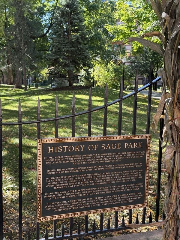
2. History of Sage Park Marker, Looking into the Park
Other nearby markers. At least 8 other markers are within walking distance of this marker: Second Ward World War II Memorial (a few steps from this marker); Rensselaer County's First Courthouse (a few steps from this marker); Rensselaer County Spanish-American War Memorial (within shouting distance of this marker); Emma Hart Willard (within shouting distance of this marker); Julia Howard Bush Memorial Center (within shouting distance of this marker); 1920-1995 (within shouting distance of this marker); On This Site (within shouting distance of this marker); Samuel Wilson — "Uncle Sam" (about 400 feet away, measured in a direct line). Touch for a list and map of all markers in Troy.
Photographed by Trudi Jacobson, October 6, 2026
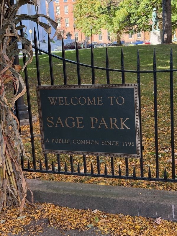
3. Additional Sage Park Marker
Photographed by Trudi Jacobson, October 6, 2026
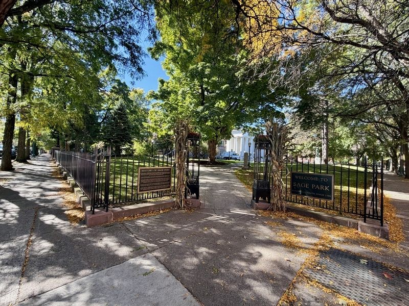
4. Entrance to Sage Park with Both Markers Visible
Credits. This page was last revised on October 13, 2026. It was originally submitted on October 6, 2026, by Trudi Jacobson of Slingerlands, New York. This page has been viewed 9 times since then. Photos: 1, 2, 3, 4. submitted on October 6, 2026, by Trudi Jacobson of Slingerlands, New York. • Andrew Ruppenstein was the editor who published this page.
