Fall River in Bristol County, Massachusetts — The American Northeast (New England)
Camouflage
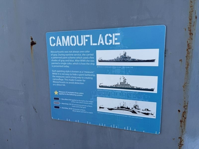
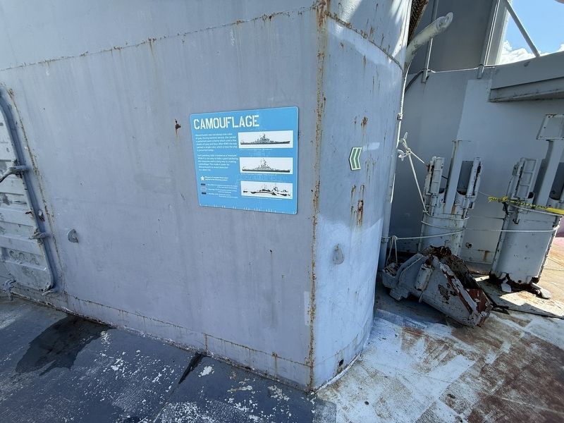
Massachusetts was not always one color of gray. During wartime service, she carried a patterned paint scheme which used a few shades of gray and blue. After WWII she was painted a single color, which is how the ship is presented today.
Each painting style is known as a "measure." While it is not easy to hide a giant battleship, the measures went a long way to creating camouflage. This made it easier for Massachusetts to avoid detection or a direct hit.
⭐ Measure 22 included three colors applied in the following system:
Navy Blue 5-N: Applied to the hull to the height of the main deck’s lowest point.
Haze Gray, 5-H: All remaining vertical surfaces, masts and small gear.
Deck Blue, 20-B: Horizontal surfaces. Wood decks painted to match.
[Captions:]
▲ Measure 12, Graded system of navy and gray—May–October 1942
▲ Measure 22, Graded system of navy and gray—October 1942–January 1947
▲ Measure 32, Proposed system of light gray and dull black—1943, never implemented
Topics. This historical marker is listed in these topic lists: War, World II • Waterways & Vessels. A significant historical year for this entry is 1942.
Location. 41° 42.405′ N,
this page online

Regionally, this marker is in the South Coast. It is also in the American Northeast, in New England, and on the Eastern Seaboard. Globally, it is in the North Atlantic Region, North America, the Western Hemisphere, the Western World, and the Anglosphere. Historically, it finds itself in what was once one of the original Thirteen Colonies.
Other nearby markers. At least 8 other markers are within walking distance of this marker: Boats + Rescue Craft (a few steps from this marker); Below Deck (a few steps from this marker); World War II (a few steps from this marker); Crew (a few steps from this marker); Gunner's Mate (a few steps from this marker); Shrapnel Damage (a few steps from this marker); Pearl Harbor Memorial (a few steps from this marker); Topside (a few steps from this marker). Touch for a list and map
Credits. This page was last revised on October 6, 2026. It was originally submitted on October 6, 2026, by Devry Becker Jones of Washington, District of Columbia. This page has been viewed 9 times since then. Photos: 1, 2. submitted on October 6, 2026, by Devry Becker Jones of Washington, District of Columbia.
