Ludlow in Shropshire, England, United Kingdom — Northwestern Europe (the British Isles)
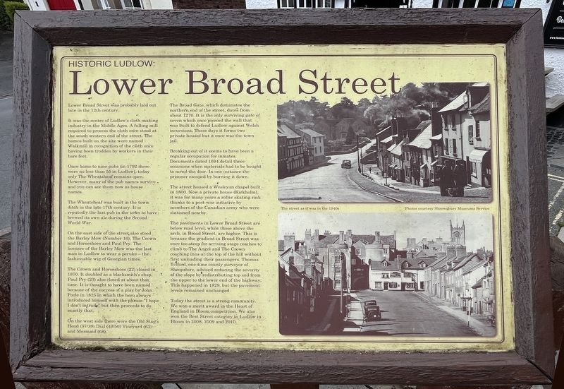
Lower Broad Street
Historic Ludlow
Photographed by Ray Gurganus, May 17, 2026
1. Lower Broad Street Marker
It was the centre of Ludlow's cloth-making industry in the Middle Ages. A filling mill required to process the cloth once stood at the south western end of the street. The homes built on the site were named Walkmill in recognition of the cloth once having been trodden by workers in their bare feet.
Once home to nine pubs (in 1792 there were no less than 50 in Ludlow), today only The Wheatsheaf remains open. However, many of the pub names survive and you can see them now as house names.
The Wheatsheaf was built in the town ditch in the late 17th century. It is reputedly the last pub in the town to have brewed its own ale during the Second World War.
On the east side of the street, also stood the Barley Mow (Number 16), The Crown and Horseshoes and Paul Pry. The licensee of the Barley Mow was the last man in Ludlow to wear a peruke -- the fashionable wig of Georgian times.
The Crown and Horseshoes (22) closed in 1870. It doubled as a blacksmith's shop. Paul Pry (23) also closed at about that time. It is thought to have been named because of
this page online
On the west side there were the Old Stag's Head (37/39) Dial (49/50) Vineyard (63) and Mermaid (68).
The Broad Gate, which dominates the northern end of the street, dates from about 1270. It is the only surviving gate of seven which once pierced the wall that was built to defend Ludlow against Welsh incursions. These days it forms two private houses but it once was the town jail.
Breaking out of it seems to have been a regular occupation for inmates. Documents dated 1694 detail three occasions when materials had to be bought to mend the door. In one instance the prisoner escaped by burning it down.
The street housed a Wesleyan chapel built in 1800. Now a private house (Kirkholm), it was for many years a roller skating rink thanks to a post-war initiative by members of the Canadian army who were stationed nearby.
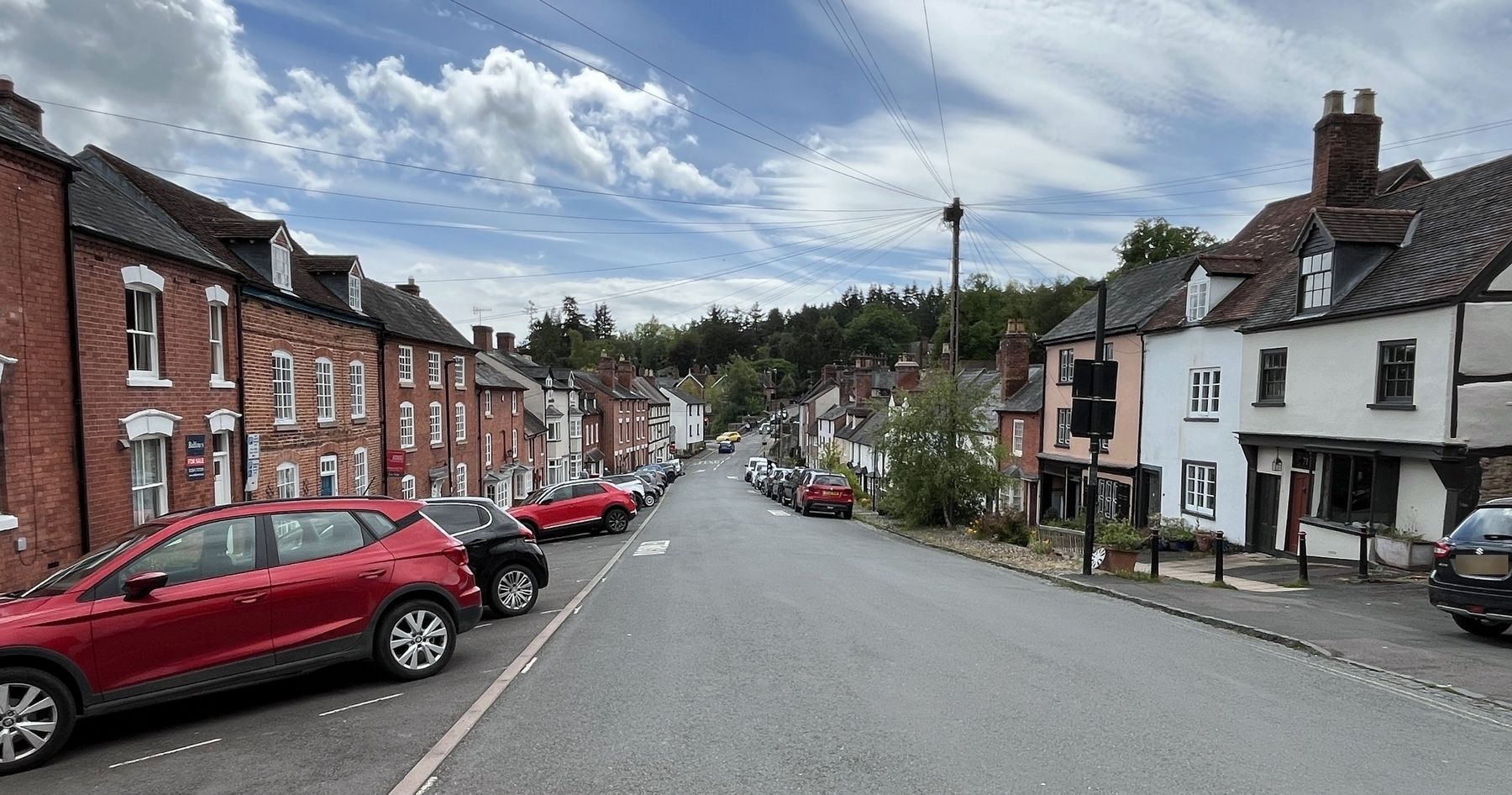
The pavements in Lower Broad Street are below road level, while those above the arch in Broad Street, are higher. This is because the gradient in
Photographed by Ray Gurganus, May 17, 2026
2. Lower Broad Street, looking south from Broad Gate
Today the street is a strong community. We won a merit award in the Heart of England in Bloom competition. We also won the Best Street category in Ludlow in Bloom in 2008, 2009 and 2010.
Topics. This historical marker is listed in these topic lists: Industry & Commerce • Roads & Vehicles.
Location. 52° 21.909′ N, 2° 43.069′ W. Marker is in Ludlow, England, in Shropshire. It is on Lower Broad Street. The marker is on the east side Lower Broad Street, just south of the Wheatsheaf. Touch for map. Marker is at or near this postal address: 1 Lower Broad Street, Ludlow, England SY8 1PQ, United Kingdom. Touch for directions.

Regionally, this marker is in the Midlands.

circa 1912
3. Lower Broad Street, Ludlow - looking north toward Broad Gate
Other nearby markers. At least 8 other markers are within walking distance of this marker: The Broad Gate (within shouting distance of this marker); Ludlow Town Walls (about 120 meters away, measured in a direct line); Hospital of the Holy Trinity, the Virgin Mary and St John the Baptist (about 120 meters away); Mary Edwards (about 150 meters away); No 49 Broad Street (about 150 meters away); Sir Caesar Hawkins (about 210 meters away); No 13 Broad Street (about 210 meters away); Nos 56-58 Broad Street (about 210 meters away). Touch for a list and map of all markers in Ludlow.
Credits. This page was last revised on October 11, 2026. It was originally submitted on October 6, 2026, by Ray Gurganus of Washington, District of Columbia. This page has been viewed 6 times since then. Photos: 1, 2. submitted on October 6, 2026, by Ray Gurganus of Washington, District of Columbia. 3. submitted on October 11, 2026. • Andrew Ruppenstein was the editor who published this page.
