KeyStone Neighborhood on Rock Island in Rock Island County, Illinois — The American Midwest (Great Lakes)
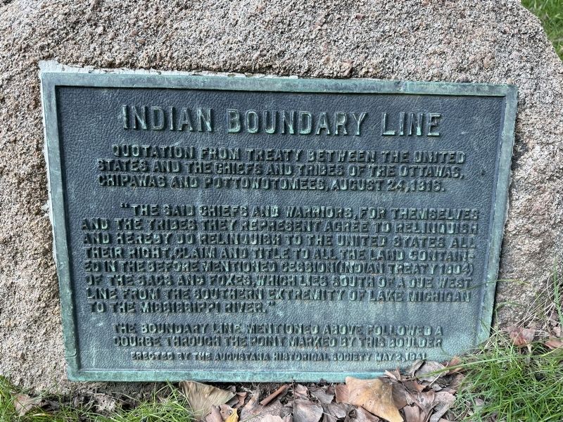
Indian Boundary Line
Photographed by Matthew Stevens, October 4, 2026
1. Indian Boundary Line Marker
Quotation from treaty between the United States and the Chiefs and Tribes of the Ottawas, Chipawas and Pottowotomees, August 24, 1816.
"The said chiefs and warriors, for themselves and the tribes they represent agree to relinquish and hereby do relinquish to the United States all their right, claim and title to all the land contained in the before mentioned cession (Indian Treaty 1804) of the Sacs and Foxes, which lies south of a due west line from the southern extremity of Lake Michigan to the Mississippi River."
The boundary line mentioned above followed a course through the point marked by this boulder
Erected 1941 by the Augustana Historical Society.
Topics. This historical marker is listed in these topic lists: Communications • Indigenous Peoples and Communities • Settlements & Settlers. A significant historical date for this entry is August 24, 1816.
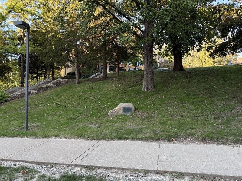
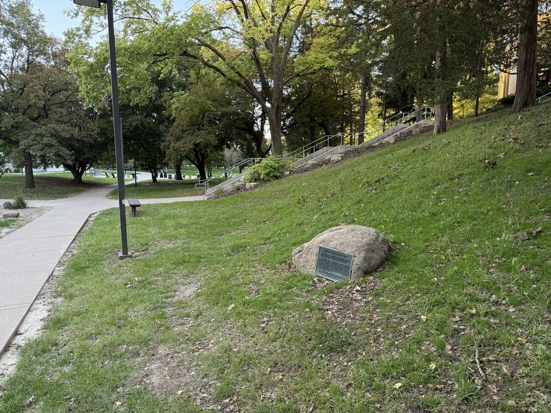
Location. 41° 30.155′ N, 90° 32.962′ W. Marker is on Rock Island, Illinois, in Rock Island County. It is in the KeyStone Neighborhood. It can be reached from 38th Street south of 8th Avenue, on the right when traveling south. This marker is located on the campus
this page online

Regionally, this marker is in Northern Illinois and in the Quad Cities. It is also in the American Midwest, in the Corn Belt, and in the Great River Road Region. Globally, it is in North America, the Western Hemisphere, the Western World, and the Anglosphere. Historically, it finds itself in what was once the territory of the Mississippian Culture and also the Northwest Territory.
Other nearby markers. At least 8 other markers are within 2 miles of this marker, measured as the crow flies: Augustana Memorial Amphitheater (within shouting distance of this marker); The Stones in This Seat (about 500 feet away, measured in a direct line); Ruth Allison ‘41/Everett “Lefty” Anderson ‘39 (about 600 feet away); Old Main, Augustana College (about 700 feet away); Robert Wagner House (approx. one mile away); 15-Inch Rodman Gun (approx. 1.1 miles away); USA M102, 105mm, Howitzer
Photographed by Matthew Stevens, October 4, 2026
2. Indian Boundary Line Marker
Photographed by Matthew Stevens, October 4, 2026
3. Indian Boundary Line Marker
Credits. This page was last revised on October 9, 2026. It was originally submitted on October 6, 2026, by Matthew Stevens of Washington, Illinois. This page has been viewed 12 times since then. Photos: 1, 2, 3. submitted on October 6, 2026, by Matthew Stevens of Washington, Illinois. • Devry Becker Jones was the editor who published this page.
