Dinkelsbühl in Ansbach, Bavaria, Germany — Central Europe
Schlacht am Weißen Berg bei Prag
1618–1623 Böhmisch-Pfälzer Krieg
⎯⎯⎯
Battle of White Mountain near Prague
1618–1623 Bohemian-Palatinate War
| — | 1620 | — |
Photographed by James Hulse, September 14, 2026
1. Schlacht am Weißen Berg bei Prag / Battle of White Mountain near Prague Marker

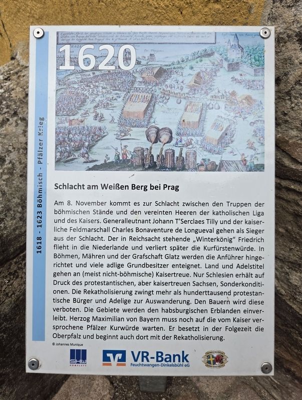
Am 8. November kommt es zur Schlacht zwischen den Truppen der böhmischen Stände und den vereinten Heeren der katholischen Liga und des Kaisers. Generalleutnant Johann T’Serclaes Tilly und der kaiserliche Feldmarschall Charles Bonaventure de Longueval gehen als Sieger aus der Schlacht. Der in Reichsacht stehende „Winterkönig“ Friedrich flieht in die Niederlande und verliert später die Kurfürstenwürde. In Böhmen, Mähren und der Grafschaft Glatz werden die Anführer hingerichtet und viele adlige Grundbesitzer enteignet. Land und Adelstitel gehen an (meist nicht-böhmische) Kaisertreue. Nur Schlesien erhält auf Druck des protestantischen, aber kaisertreuen Sachsen, Sonderkonditionen. Die Rekatholisierung zwingt mehr als hunderttausend protestantische Bürger und Adlige zur Auswanderung. Den Bauern wird diese verboten. Die Gebiete werden den habsburgischen Erblanden einverleibt. Herzog Maximilian von Bayern muss noch auf die vom Kaiser versprochene Pfälzer Kurwürde warten. Er besetzt in der Folgezeit die Oberpfalz und beginnt auch dort mit der Rekatholisierung.
© Johannes Munique
Battle of White Mountain near Prague
On
this page online
Erected by SHW
Photographed by James Hulse, September 14, 2026
2. Schlacht am Weißen Berg bei Prag / Battle of White Mountain near Prague Marker
Topics. This historical marker is listed in this topic list: Wars, Non-US. A significant historical year for this entry is 1632.
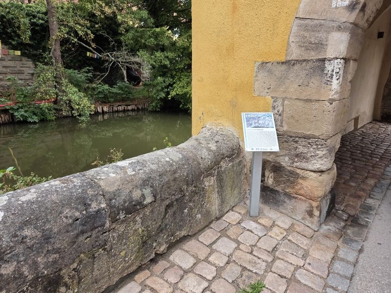
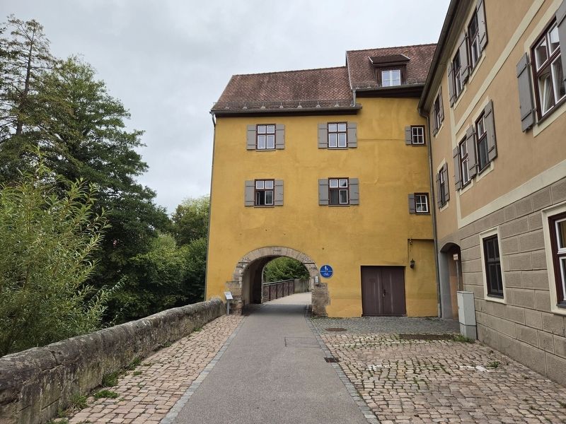
Location. 49° 4.192′ N, 10° 19.288′ E. Marker is in Dinkelsbühl, Bayern (Bavaria), in Ansbach. It is at the intersection of Wörnitzstraße and Inselweg, on the right when traveling west on Wörnitzstraße. Touch for map. Marker is at or near this postal address: Wörnitzstraße 1, Dinkelsbühl BY 91550, Germany. Touch for directions.

Regionally, this marker is in German Franconia and on the Romantic Road. Globally, it is in Europe, the European Union, Atlantic Europe, Central Europe, the Schengen Area, Western Europe, and the Western World. Historically, it finds itself in what was once the Holy Roman Empire and also the former West Germany.
Other nearby markers. At least 8 other markers are within walking distance of this marker: Die Kriegsparteien formieren sich / The Warring Parties Take Shape (within shouting distance of this marker); Wörnitztor / Wörnitz Gate (within shouting distance of this marker);
Photographed by James Hulse, September 14, 2026
3. Schlacht am Weißen Berg bei Prag / Battle of White Mountain near Prague Marker
Credits. This page was last revised on October 8, 2026. It was originally submitted on October 7, 2026, by James Hulse of Medina, Texas. This page has been viewed 7 times since then. Photos: 1, 2, 3. submitted on October 8, 2026, by James Hulse of Medina, Texas.
