Big Bog State Recreation Area near Waskish in Beltrami County, Minnesota — The American Midwest (Upper Plains)
Pure Peatland
⎯⎯⎯
A Boring Story
Photographed by McGhiever, August 30, 2021
1. Pure Peatland / A Boring Story Marker
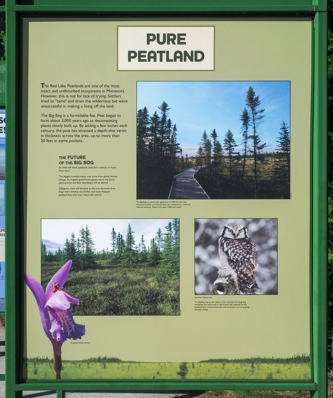
The Red Lake Peatlands are one of the most intact and undisturbed ecosystems in Minnesota. However, this is not for lack of trying. Settlers tried to "tame" and drain the wilderness but were unsuccessful in making a living off the land.
The Big Bog is a formidable foe. Peat began to form about 3,000 years ago as decomposing plants slowly built up. By adding a few inches each century, the peat has amassed a depth that varies in thickness across the area, up to more than 20 feet in some pockets.
The Future of the Big Bog
So what will these peatlands look like a century or more from now?
The biggest transformation may come from global climate change. As trapped greenhouse gasses warm the Earth, plant species and their abundance will be altered.
Sphagnum moss will die back as the area becomes drier. Bogs won't develop any further and more frequent peatland fires also may reduce this habitat.
The Big Bog has world class significance. In 1992 the Red Lake Peatlands Scientific and Natural Area was nominated as a National Natural Landmark. Explore this quiet wilderness today!
Dragon's Mouth Orchid
Northern Hawk Owl
The Big Bog may be the "canary in the coal mine" for large bog complexes that exist north to the Hudson Bay lowlands. As the peatlands here contract they warn that the ecosystems are undergoing dramatic change.
If
this page online
Scientists extract soil cores from peat to study its origin. Cores are timekeeping records, like tree rings, that unfold a story of climate and change. This history of the landscape is stored in the plant and animal remains that are part of the time capsule.
Spruce
Soil cores hold pollen grains and plant fragments. Low pollen counts reveal that Minnesota had few forests immediately after the last glacial period. Streams from melting ice scoured the landscape and kept plants from rooting. After the ice finished melting, black spruce and other tundra-type vegetation took root.
What the Cores tell Us
When the Red Lake Peatlands started forming about 3,000 to 8,000 years ago, the surrounding upland was covered by prairie and oak savanna. How do we know this? A high amount of grass and oak pollen was found in the cores.
About 3,500 years ago the climate became more moist in northern Minnesota. Conifers such as white pine and white spruce, along with hardwoods such as maples, began to grow in the uplands.
The poorly drained lowland, with its high water table,
Photographed by McGhiever, August 30, 2021
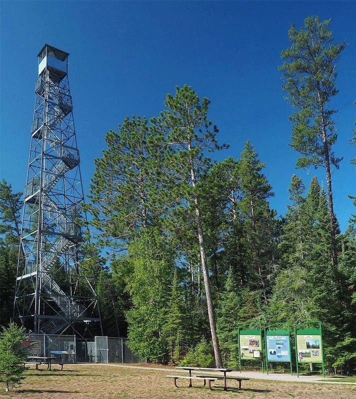
2. Marker (right) near the fire tower at Big Bog State Recreation Area
This image of a peat core was made by stitching together several photos. Moss, peat, mud and their microscopic parts all weave together to provide clues to conditions long ago.
In a core, if a tree's pollen count drops from one time period to another, it means the species has declined. Cores from the Big Bog tell us that this area's pines were once harvested, since the amount of pine pollen found in the sample declined over time.
Erected by the Minnesota Department of Natural Resources.
Topics. This historical marker is listed in this topic list: Environment.
Location. 48° 10.221′ N, 94° 30.712′ W. Marker is near Waskish, Minnesota, in Beltrami County. It is in the Big Bog State Recreation Area. It is at the intersection of Hillman Drive NE (County Highway 9) and the Big Bog State Recreation Area entrance road, on the right when traveling south on Hillman Drive NE. The marker is at the south unit of Big Bog State Recreation Area (fee area), in a triptych of markers between the visitor center and the fire tower. Touch for map. Marker is at or near this postal address: 55716 State Highway 72, Waskish MN 56685, United States of America. Touch for directions.

Regionally, this marker is in the Northland. It is also in the American Midwest and in the Corn Belt. Globally, it is in North America, the Great North Woods, the Western Hemisphere, the Western World, and the Anglosphere. Historically, it finds itself in what was once Rupert’s Land, the territory of the Mississippian Culture, the Louisiana Purchase, and the Northwest Territory.
Other nearby markers. At least 8 other markers are within walking distance of this marker: Red Lake is Minnesota's Largest Lake! / Flat Terrain Lets Water Pool (here, next to this marker); Where There is Smoke / Forests of the Agassiz Lowlands (here, next to this marker); The Red Lake Walleye Story (about 800 feet away, measured in a direct line); Miskwagami-wizaga-iganing (about 800 feet away); The Marina (approx. 0.2 miles away); Journey along the waters… (approx. 0.3 miles away); Historic Waskish Hatchery 1941–1979 (approx. 0.3 miles away); Harry Davidson (approx. 0.3 miles away). Touch for a list and map of all markers in Waskish.
Credits. This page was last revised on October 8, 2026. It was originally submitted on October 8, 2026, by McGhiever of Minneapolis, Minnesota. This page has been viewed 5 times since then. Photos: 1. submitted on October 8, 2026, by McGhiever of Minneapolis, Minnesota. 2. submitted on October 4, 2022, by McGhiever of Minneapolis, Minnesota.
