Dinkelsbühl in Ansbach, Bavaria, Germany — Central Europe
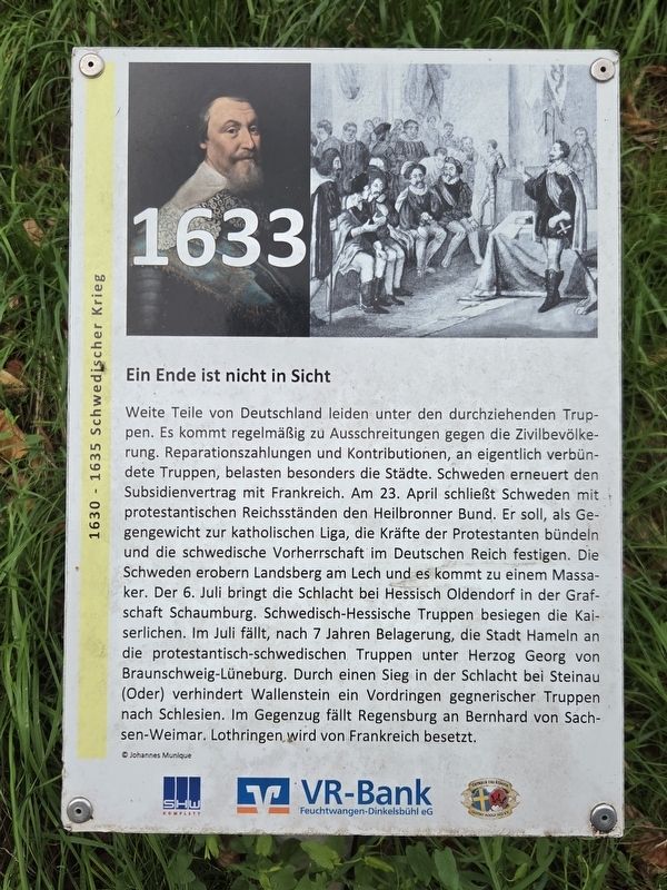
Ein Ende ist nicht in Sicht
1630–1635 Schwedischer Krieg
⎯⎯⎯
No End Is in Sight
Swedish War, 1630–1635
| — | 1633 | — |
Photographed by James Hulse, September 14, 2026
1. Ein Ende ist nicht in Sicht / No End Is in Sight Marker

Weite Teile von Deutschland leiden unter den durchziehenden Truppen. Es kommt regelmäßig zu Ausschreitungen gegen die Zivilbevölkerung. Reparationszahlungen und Kontributionen an eigentlich verbündete Truppen belasten besonders die Städte. Schweden erneuert den Subsidienvertrag mit Frankreich. Am 23. April schließt Schweden mit protestantischen Reichsständen den Heilbronner Bund. Er soll, als Gegengewicht zur katholischen Liga, die Kräfte der Protestanten bündeln und die schwedische Vorherrschaft im Deutschen Reich festigen.
Die Schweden erobern Landsberg am Lech und es kommt zu einem Massaker. Der 6. Juli bringt die Schlacht bei Hessisch Oldendorf in der Grafschaft Schaumburg. Schwedisch-hessische Truppen besiegen die Kaiserlichen. Im Juli fällt, nach sieben Jahren Belagerung, die Stadt Hameln an die protestantisch-schwedischen Truppen unter Herzog Georg von Braunschweig-Lüneburg. Durch einen Sieg in der Schlacht bei Steinau (Oder) verhindert Wallenstein ein Vordringen gegnerischer Truppen nach Schlesien. Im Gegenzug fällt Regensburg an Bernhard von Sachsen-Weimar. Lothringen wird
this page online
© Johannes Munique
No End Is in Sight
Large parts of Germany suffer under the armies passing through the country. Violence against the civilian population occurs regularly. Reparation payments and contributions demanded by supposedly allied troops place a particularly heavy burden on the cities. Sweden renews its subsidy agreement with France. On April 23, Sweden and the Protestant Imperial Estates form the Heilbronn League. Intended as a counterweight to the Catholic League, it is meant to unite the Protestant forces and consolidate Swedish supremacy within the Holy Roman Empire.
The Swedes capture Landsberg am Lech, where a massacre takes place. On July 6, the Battle of Hessisch Oldendorf is fought in the County of Schaumburg, with Swedish-Hessian forces defeating the Imperial army. In July, after a seven-year siege, Hamelin falls to the Protestant-Swedish troops under Duke George of Brunswick-Lüneburg. Wallenstein’s victory at the Battle of Steinau on the Oder prevents enemy troops from advancing into Silesia. Regensburg, however, falls to Bernhard of Saxe-Weimar, while Lorraine
Photographed by James Hulse
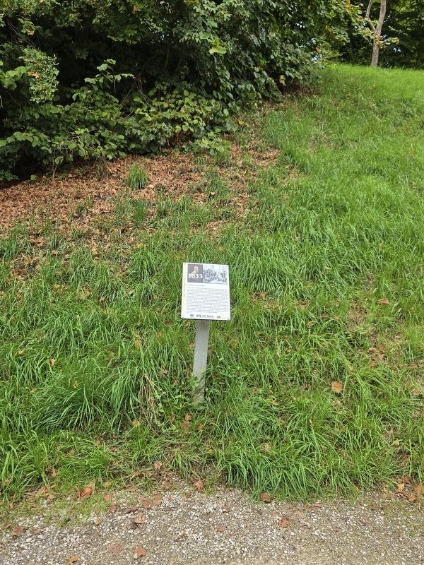
2. Ein Ende ist nicht in Sicht / No End Is in Sight Marker
Erected by SHW Komplett, VR-Bank Feuchtwangen-Dinkelsbühl eG and Octavus Rex König Gustav Adolf 1632 e.V.
Topics. This historical marker is listed in this topic list: Wars, Non-US. A significant day of the year for for this entry is July 6.
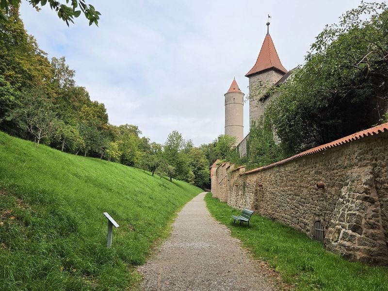
Location. 49° 4.149′ N, 10° 18.836′ E. Marker is in Dinkelsbühl, Bayern (Bavaria), in Ansbach. It is on Adlergäßlein. The marker is located along the outer wall walkway. Touch for map. Marker is at or near this postal address: Adlergäßlein 5, Dinkelsbühl BY 91550, Germany. Touch for directions.

Regionally, this marker is in German Franconia and on the Romantic Road. Globally, it is in Europe, the European Union, Atlantic Europe, Central Europe, the Schengen Area, Western Europe, and the Western World. Historically, it finds itself in what was once the Holy Roman Empire and also the former West Germany.
Other nearby markers. At least 8 other markers are within walking distance of this marker: Dreikönigskapelle / Chapel of the Three Kings (within shouting distance of this marker); Kornscheune / Grain Barn (within shouting distance of this marker); Segringer Tor / Segringen Gate
Photographed by James Hulse, September 14, 2026
3. Ein Ende ist nicht in Sicht / No End Is in Sight Marker
Credits. This page was last revised on October 9, 2026. It was originally submitted on October 9, 2026, by James Hulse of Medina, Texas. This page has been viewed 5 times since then. Photos: 1, 2, 3. submitted on October 9, 2026, by James Hulse of Medina, Texas.
