Dinkelsbühl in Ansbach, Bavaria, Germany — Central Europe
Zerstörung Magdeburgs und Schlacht bei Breitenfeld
1630–1635 Schwedischer Krieg
⎯⎯⎯
Magdeburg and the Battle of Breitenfeld
Swedish War, 1630–1635
| — | 1631 | — |
Photographed by James Hulse, September 14, 2026
1. Zerstörung Magdeburgs und Schlacht bei Breitenfeld / Magdeburg and the Battle of Breitenfeld Marker

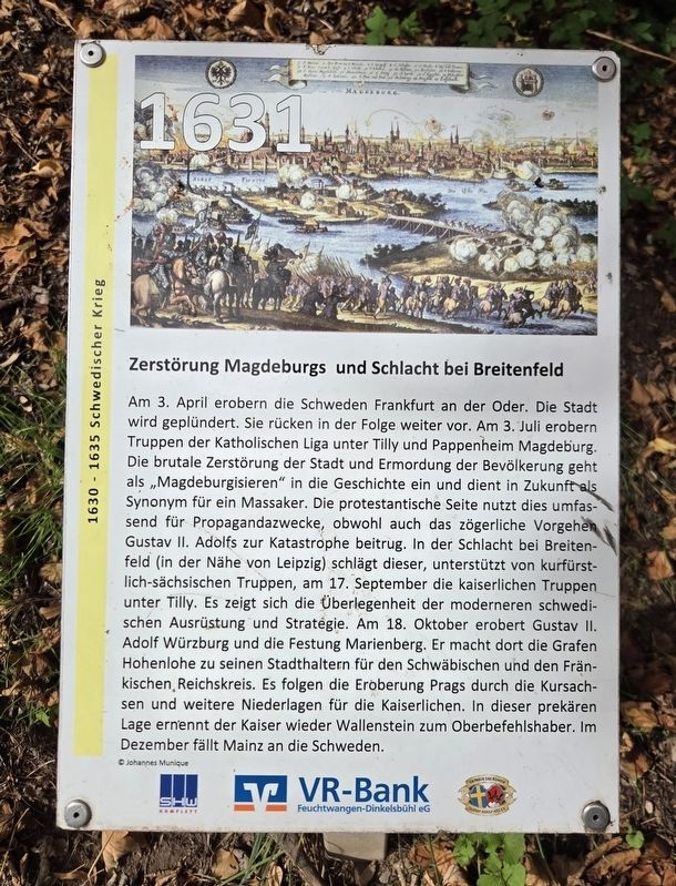
Am 3. April erobern die Schweden Frankfurt an der Oder. Die Stadt wird geplündert. Sie rücken in der Folge weiter vor. Am 3. Juli erobern Truppen der Katholischen Liga unter Tilly und Pappenheim Magdeburg. Die brutale Zerstörung der Stadt und Ermordung der Bevölkerung geht als „Magdeburgisieren“ in die Geschichte ein und dient in Zukunft als Synonym für ein Massaker. Die protestantische Seite nutzt dies umfassend für Propagandazwecke, obwohl auch das zögerliche Vorgehen Gustav II. Adolfs zur Katastrophe beitrug.
In der Schlacht bei Breitenfeld, in der Nähe von Leipzig, schlägt dieser, unterstützt von kurfürstlich-sächsischen Truppen, am 17. September die kaiserlichen Truppen unter Tilly. Es zeigt sich die Überlegenheit der moderneren schwedischen Ausrüstung und Strategie. Am 18. Oktober erobert Gustav II. Adolf Würzburg und die Festung Marienberg. Er macht dort die Grafen Hohenlohe zu seinen Statthaltern für den Schwäbischen und den Fränkischen Reichskreis. Es folgen die Eroberung Prags durch die Kursachsen und weitere Niederlagen für die Kaiserlichen. In dieser
this page online
© Johannes Munique
Destruction of Magdeburg and the Battle of Breitenfeld
On April 3, the Swedes capture Frankfurt an der Oder. The city is plundered, and the Swedish forces continue their advance. On July 3, troops of the Catholic League under Tilly and Pappenheim capture Magdeburg. The brutal destruction of the city and murder of its inhabitants enters history as the “Magdeburgization” and subsequently becomes synonymous with massacre. The Protestant side makes extensive use of the event for propaganda, although Gustav II Adolf’s hesitant response also contributed to the catastrophe.
At the Battle of Breitenfeld near Leipzig on September 17, Gustav II Adolf, supported by Electoral Saxon troops, defeats the Imperial army under Tilly. The battle demonstrates the superiority of the more modern Swedish equipment and strategy. On October 18, Gustav II Adolf captures Würzburg and Marienberg Fortress. He appoints the Counts of Hohenlohe as his governors of the Swabian and Franconian Imperial Circles.
Photographed by James Hulse, September 14, 2026
2. Zerstörung Magdeburgs und Schlacht bei Breitenfeld / Magdeburg and the Battle of Breitenfeld Marker
Erected by SHW Komplett, VR-Bank Feuchtwangen-Dinkelsbühl eG and Octavus Rex König Gustav Adolf 1632 e.V.
Topics. This historical marker is listed in this topic list: Wars, Non-US. A significant day of the year for for this entry is July 3.
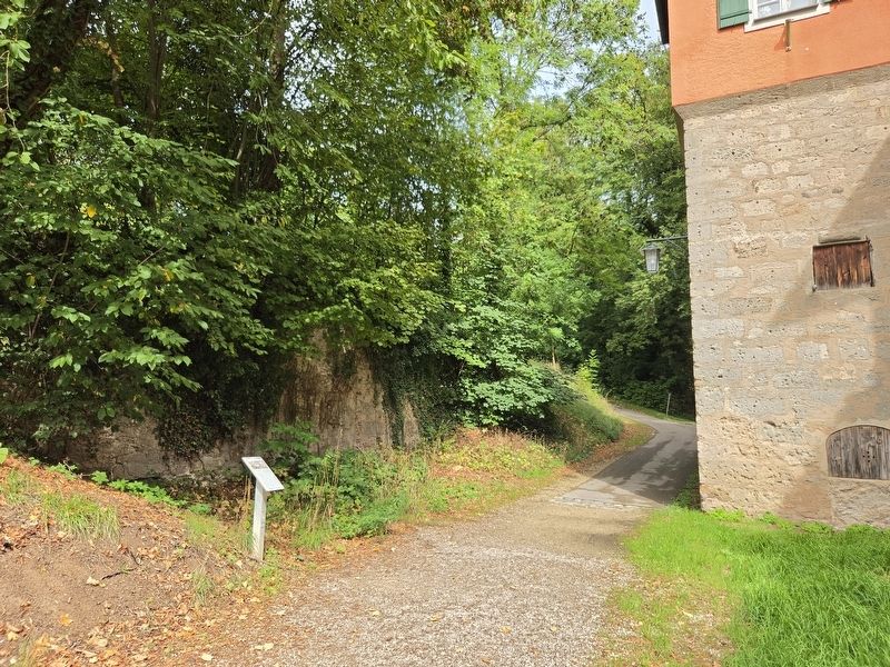
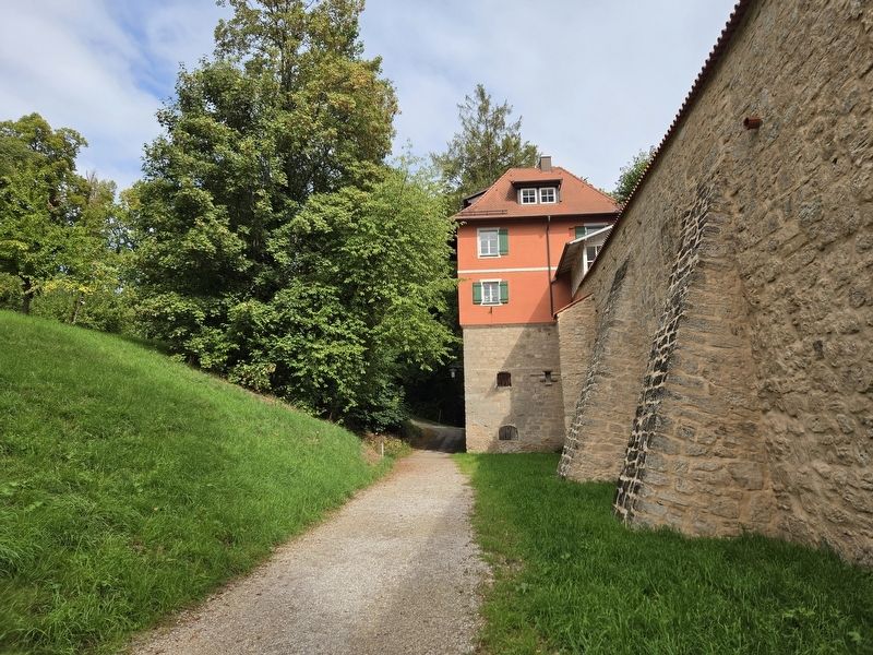
Location. 49° 4.23′ N, 10° 18.88′ E. Marker is in Dinkelsbühl, Bayern (Bavaria), in Ansbach. It is on Kapuzinerweg just south of Russelberg. The marker is located along the outer wall walkway. Touch for map. Marker is at or near this postal address: Kapuzinerweg 5, Dinkelsbühl BY 91550, Germany. Touch for directions.

Regionally, this marker is in German Franconia and on the Romantic Road. Globally, it is in Europe, the European Union, Atlantic Europe, Central Europe, the Schengen Area, Western Europe, and the Western World. Historically, it finds itself in what was once the Holy Roman Empire and also the former West Germany.
Other nearby markers. At least 8 other markers
Photographed by James Hulse, September 14, 2026
3. Zerstörung Magdeburgs und Schlacht bei Breitenfeld / Magdeburg and the Battle of Breitenfeld Marker
Credits. This page was last revised on October 9, 2026. It was originally submitted on October 9, 2026, by James Hulse of Medina, Texas. This page has been viewed 3 times since then. Photos: 1, 2, 3. submitted on October 9, 2026, by James Hulse of Medina, Texas.
