Riverside in Lynchburg, Virginia — The American South (Mid-Atlantic)
Alpine Trail
Photographed by Cosmos Mariner, September 28, 2021
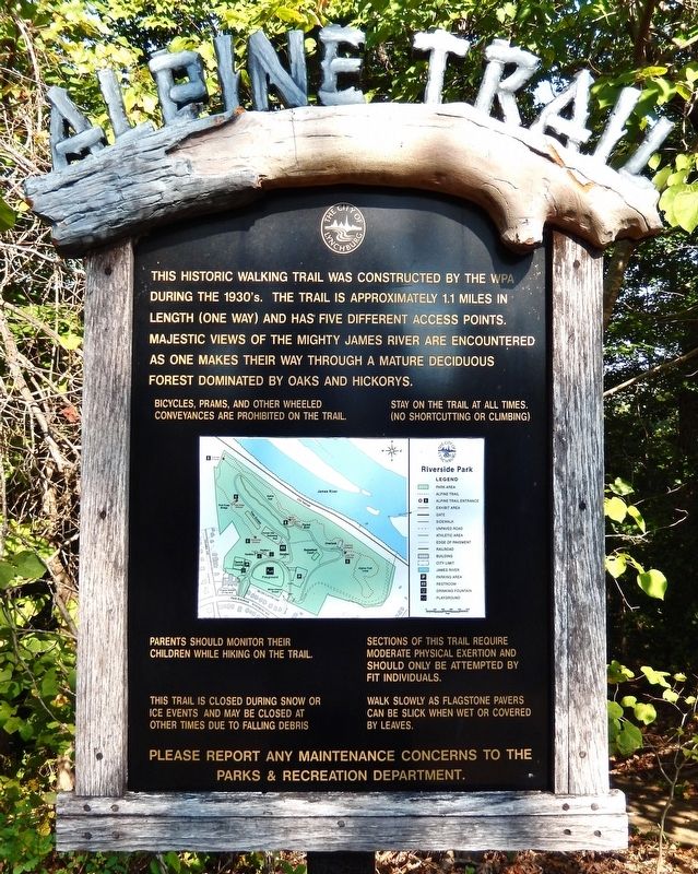
1. Alpine Trail Marker
This historic walking trail was constructed by the WPA during the 1930's. The trail is approximately 1.1 miles in length (one way) and has five different access points. Majestic views of the mighty James River are encountered as one makes their way through a mature deciduous forest dominated by oaks and hickorys.
Bicycles, prams, and other wheeled conveyances are prohibited on the trail. Stay on the trail at all times. (No shortcutting or climbing.) Parents should monitor their children while hiking on the trail. This trail is closed during snow or ice events and may be closed at other times due to falling debris. Sections of this trail require moderate physical exertion and should only be attempted by fit individuals. Walk slowly as flagstone pavers can be slick when wet or covered by leaves. Please report any maintenance concerns to the Parks & Recreation Department.
Topics and series. This historical marker is listed in these topic lists: Charity & Public Work • Parks & Recreational Areas. In addition, it is included in the Works Progress Administration (WPA) projects series list.
Location. 37° 26.306′ N,
this page online

Regionally, this marker is in Central Virginia. It is also in the American South and specifically in the Upper South. Globally, it is in North America, the Western Hemisphere, the Western World, and the Anglosphere. Historically, it finds itself in what was once the territory of the Mississippian Culture, one of the original Thirteen Colonies, one of the Confederate States of America, and the Antebellum South.
Other nearby markers. At least 8 other markers are within walking distance of this marker: Constitution Tree (within shouting distance of this marker); Hull of the Packet Boat Marshall (about 700 feet away, measured in a direct line); Packet Boat Marshall (about 700 feet away); Troubled to Healing Waters (about 800 feet away);
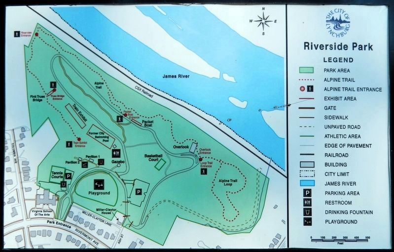
2. Marker detail: Riverside Park and Trail Map
Also see . . . Alpine Trail History (Lynchburg Parks & Recreation).
Excerpt: Visitors will enjoy the solitude and beauty of the mile long Alpine Trail as it winds through the steep, wooded hillside of Riverside Park. Though there is no access to the river, trail users are rewarded with spectacular views of the James River, as well as frequent sightings of woodland birds, including migrating hawks.(Submitted on October 9, 2026, by Cosmos Mariner of Cape Canaveral, Florida.)
To enter the trail, look for the blue blazes found on trees along the pathways, as well as a marked entrance sign just past the Overlook. An entrance to the other end of the trail is found near the Fink Deck Truss Bridge.
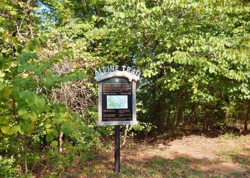
The Alpine Trail was the first walking trail developed within a Lynchburg park. The trail was built during the 1920’s and 30’s, and visitors could cross the James River onto “YMCA” island, which is now known as Treasure Island.The same time period saw the development of the Riverside Park Overlook, which was built in 1931 using laborers from the City Farm, at 20¢ per hour. Some construction may have been completed in conjunction with other Works Project Administration (W.P.A.) projects initiated at the park. Native stone quarried from the park, as well as surplus stones from various streets projects was used to construct the Overlook, Gazebo, and trail pavers.Photographed by Cosmos Mariner, September 28, 20213. Alpine Trail MarkerThe marker is seen here beside the trail access point near the James River Overlook.
Photographed by Cosmos Mariner, September 28, 2021
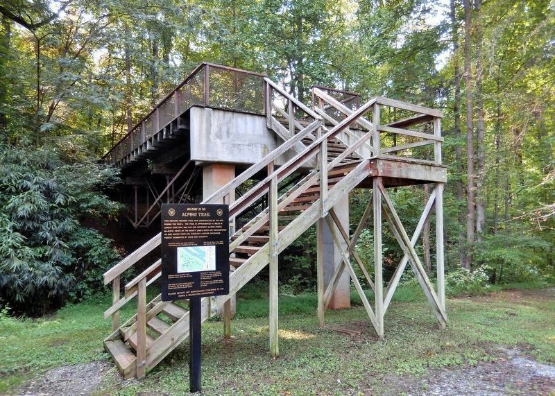
4. Alpine Trail Marker
This identical copy of the marker can be found at the entrance to the other end of the trail, near the Fink Deck Truss Bridge.
Credits. This page was last revised on October 9, 2026. It was originally submitted on October 9, 2026, by Cosmos Mariner of Cape Canaveral, Florida. This page has been viewed 7 times since then. Photos: 1, 2, 3, 4. submitted on October 9, 2026, by Cosmos Mariner of Cape Canaveral, Florida.
