Fort Scott in Bourbon County, Kansas — The American Midwest (Upper Plains)
Fort Scott during the Civil War
Walk Fort Scott
Photographed by Jason Voigt, September 21, 2026
1. Fort Scott after the Civil War Marker
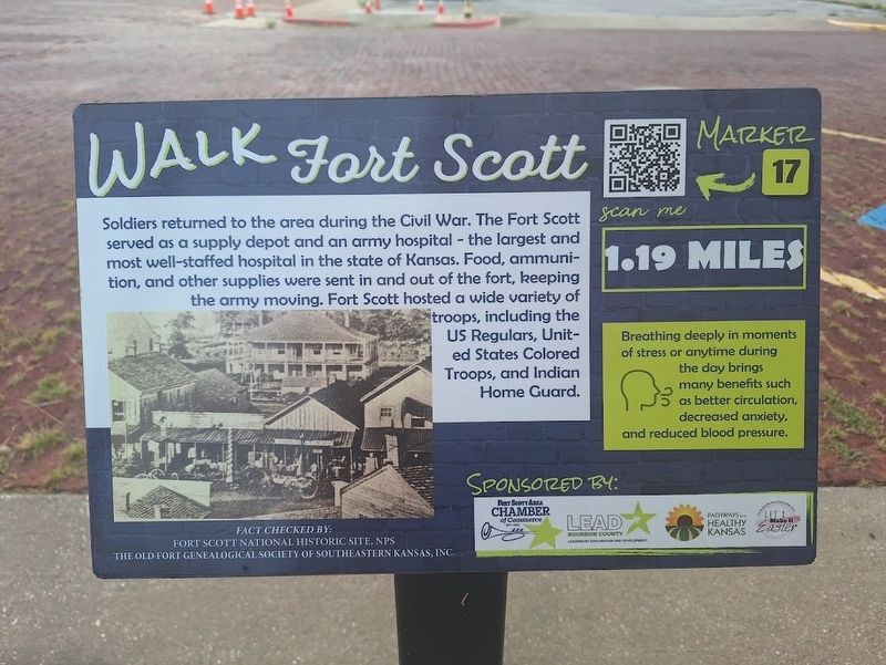
Soldiers returned to the area during the Civil War. The Fort Scott served as a supply depot and an army hospital - the largest and most well-staffed hospital in the state of Kansas. Food, ammunition, and other supplies were sent in and out of the fort, keeping the army moving. Fort Scott hosted a wide variety of troops, including the US Regulars, United States Colored Troops, and Indian Home Guard.
Aside:
Breathing deeply in moments of stress or anytime during the day brings many benefits such as better circulation, decreased anxiety, and reduced blood pressure.
Erected by Fort Scott Area Chamber of Commerce, LEAD Bourbon County, Let's Make It Easier! and Pathways to a Healthy Kansas. (Marker Number 17.)
Topics. This historical marker is listed in these topic lists: African Americans • War, US Civil.
Location. 37° 50.401′ N, 94° 42.294′ W. Marker is in Fort Scott, Kansas, in Bourbon County. It is at the intersection of Scott Avenue and East 2nd Street, on the left when traveling south on Scott Avenue. Touch for map. Marker is at or near this postal address:
this page online

Regionally, this marker is in Eastern Kansas and specifically in Bleeding Kansas Border War Country. It is also in the American Midwest, in the Corn Belt, on the prairies, and on the Southern Plains. Globally, it is in North America, the Western Hemisphere, the Western World, and the Anglosphere. Historically, it finds itself in what was once the Louisiana Purchase.
Other nearby markers. At least 8 other markers are within walking distance of this marker: Richards Building (about 300 feet away, measured in a direct line); Ingham Building (about 300 feet away); Judge Harry Fisher (about 300 feet away); Railroads in Fort Scott (about 400 feet away); Gordon Parks (about 400 feet away); 1st Kansas Colored Infantry (about 400 feet away); Moody Building (about 400 feet away); Gunn Park (about 500 feet away). Touch for a list and map of all markers in Fort Scott.
Also see . . . Downtown Walking Trail (Fort Scott Chamber of Commerce). 20 markers with fun facts were placed in downtown Fort Scott. They also include photos as well as
Photographed by Jason Voigt, September 21, 2026
2. Fort Scott after the Civil War Marker
Credits. This page was last revised on October 9, 2026. It was originally submitted on October 9, 2026, by Jason Voigt of Glen Carbon, Illinois. This page has been viewed 7 times since then. Photos: 1, 2. submitted on October 9, 2026, by Jason Voigt of Glen Carbon, Illinois.
