Devola near Marietta in Washington County, Ohio — The American Midwest (Great Lakes)
James-Fisher Park
Photographed by J. J. Prats, October 8, 2026
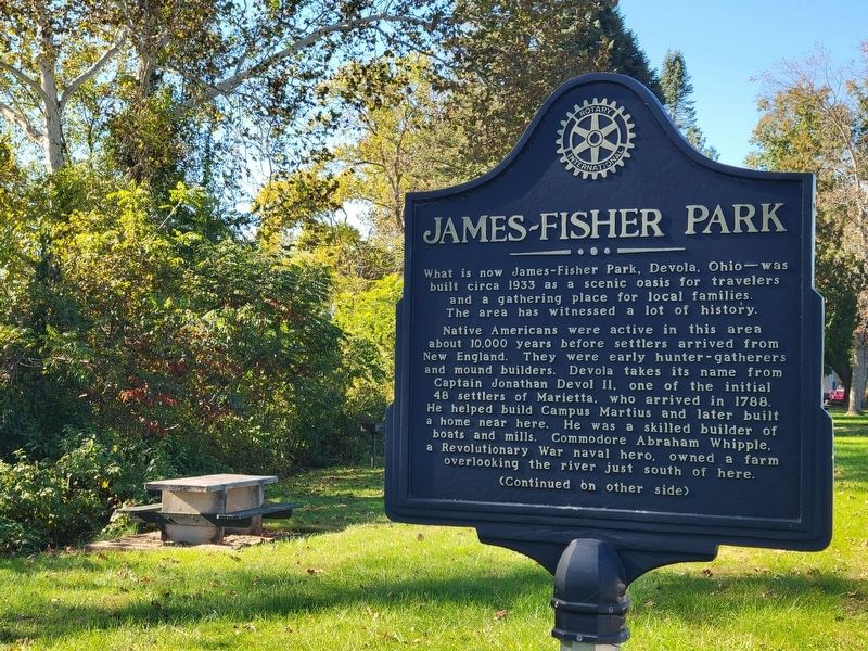
1. James-Fisher Park Marker, Side One
What is now James-Fisher Park, Devola, Ohio—was built circa 1933 as a scenic oasis for travelers and a gathering place for local families. The area has witnessed a lot of history.
Native Americans were active in this area about 10,000 years before settlers arrived from New England. They were early hunter-gatherers and mound builders. Devola takes its name from Captain Jonathan Devol II, one of the initial 48 settlers of Marietta, who arrived in 1788. He helped build Campus Martius and later built a home near here. He was a skilled builder of boats and mills. Commodore Abraham Whipple. a Revolutionary War naval hero, owned a farm overlooking the river just south of here.
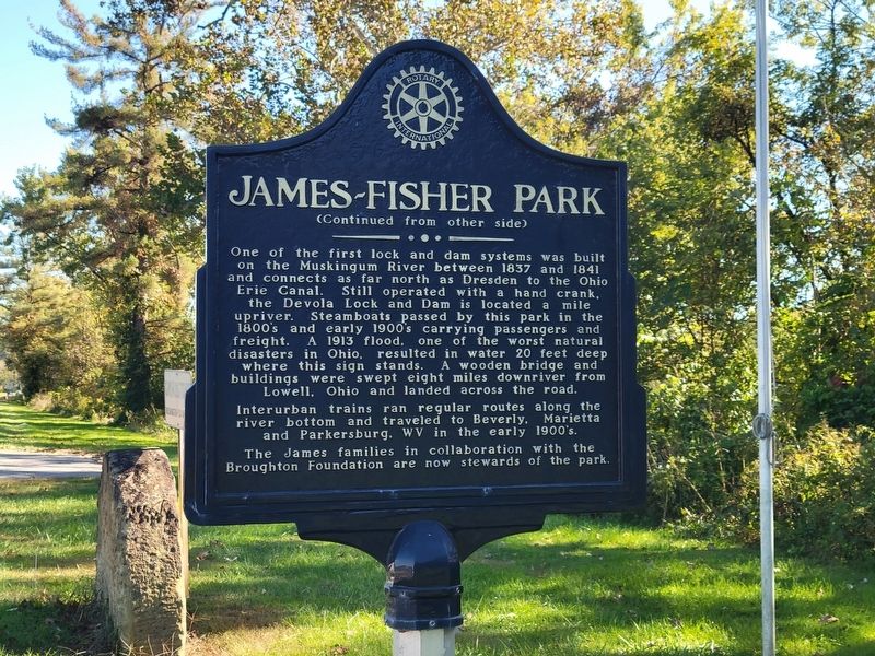
One of the first lock and dam systems was built on the Muskingum River between 1837 and 1841 and connects as far north as Dresden to the Ohio Erie Canal. Still operated with a hand crank, the Devola Lock and Dam is located a mile upriver. Steamboats passed by this park in the 1800's and early 1900's carrying passengers and freight. A 1913 flood. one of the worst natural disasters in Ohio. resulted in water 20 feet deep where
this page online
Interurban trains ran regular routes along the river bottom and traveled to Beverly, Marietta, and Parkersburg. WV in the early 1900's. The James families in collaboration with the Broughton Foundation are now stewards of the park.
Erected by Rotary International.
Topics and series. This historical marker is listed in these topic lists: Parks & Recreational Areas • Railroads & Streetcars. In addition, it is included in the Rotary International series list. A significant historical year for this entry is 1933.
Location. 39° 27.624′ N, 81° 27.899′ W. Marker is near Marietta, Ohio, in Washington County. It is in Devola. It is on Ohio Route 60 ¼ mile south of River Road, on the right when traveling south. Touch for map. Marker is at or near this postal address: 4270 OH-60, Marietta OH 45750, United States of America. Touch for directions.

Regionally, this marker is in the American Midwest, in the Ohio River Valley, in Appalachia, and specifically in Northern Appalachia. Globally, it is in North
Photographed by J. J. Prats, October 8, 2026
2. James-Fisher Park Marker, Side Two
Other nearby markers. At least 8 other markers are within 3 miles of this marker, measured as the crow flies: Catherine Fay Ewing / Frances Dana Gage (approx. 1.3 miles away); Children’s Home (approx. 1.3 miles away); The Devola Lock (approx. 1.6 miles away); Sewah Studios (approx. 1.7 miles away); Sacra Via (approx. 2.6 miles away); William Pitt Richardson (approx. 2.7 miles away); The Northwest Ordinance, 1787 / The Ohio Company Purchase (approx. 2.7 miles away); Land Office (approx. 2.7 miles away). Touch for a list and map of all markers in Marietta.
Photographed by J. J. Prats, October 8, 2026
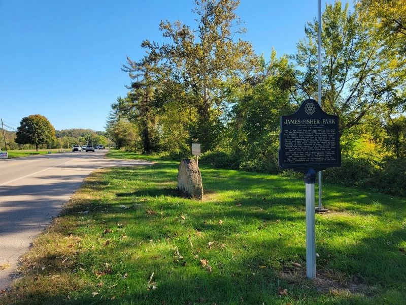
3. James-Fisher Park Marker
Photographed by J. J. Prats, October 8, 2026
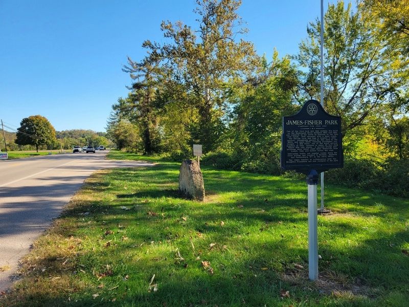
4. James-Fisher Park Marker
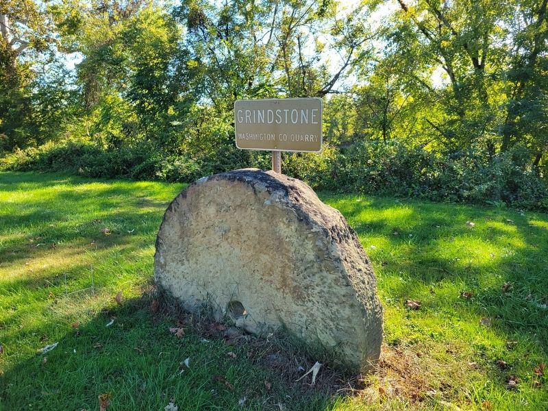
Photographed by J. J. Prats, October 8, 2026
5. James-Fisher Park "Grindstone, Washington Co. Quarry"
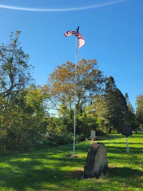
Photographed by J. J. Prats, October 8, 2026
6. James-Fisher Park
Credits. This page was last revised on October 9, 2026. It was originally submitted on October 9, 2026, by J. J. Prats of Powell, Ohio. This page has been viewed 10 times since then. Photos: 1, 2, 3, 4, 5, 6. submitted on October 9, 2026, by J. J. Prats of Powell, Ohio.
