Wagner in Charles Mix County, South Dakota — The American Midwest (Upper Plains)
Lewis and Clark
⎯⎯⎯
Wagner
| — | Lewis and Clark National Historical Trail | — |
September 13, 2026
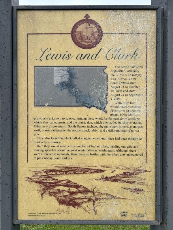
1. Lewis and Clark side of marker
Lewis and Clark
The Lewis and Clark Expedition, officially the Corps of Discovery, was in what is now South Dakota from August 21 to October 14, 1804 and from August 21 to September 4, 1806.
While here they would make numerous discoveries of animals, plants, birds and fish previously unknown to science. Among these would be the pronghorn antelope, which they called goats, and the prairie dog, which they called barking squirrels. Other new discoveries in South Dakota included the mule deer, coyote, great gray wolf, prairie rattlesnake, the northern jack rabbit, and a different kind of porcupine.
They also found the black billed magpie, which until then had been thought to exist only in Europe.
Here they would meet with a number of Indian tribes, handing out gifts and making speeches about the great white father in Washington. Although there were a few tense moments, there were no battles with the tribes they encountered in present-day South Dakota.
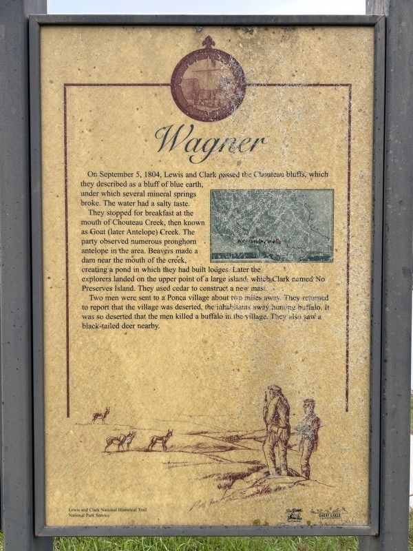
Wagner
On September 5, 1804, Lewis and Clark passed the Chouteau bluffs, which they described as a bluff of blue earth, under which several mineral springs broke.
this page online
They stopped for breakfast at the mouth of Chouteau Creek, then known as Goat (later Antelope) Creek. The party observed numerous pronghorn antelope in the area. Beavers made a dam near the mouth of the creek, creating a pond in which they had built lodges. Later the explorers landed on the upper point of a large island, which Clark named No Preserves Island. They used cedar to construct a new mast.
Two men were sent to a Ponca village about two miles away. They returned to report that the village was deserted, the inhabitants away hunting buffalo. It was so deserted that the men killed a buffalo in the village. They also saw a black-tailed deer nearby.
Erected by National Park Service.
Topics. This historical marker is listed in these topic lists: Animals • Exploration • Waterways & Vessels. A significant historical date for this entry is September 5, 1804.
Location. 43° 5.028′ N, 98° 18.334′ W. Marker is in Wagner, South Dakota, in Charles Mix County. It is on Wagner Lake Road 0.2 miles north of 297th Street (South Dakota Highway 46), on the right when traveling north. Located in Chapman Park, on
September 13, 2026
2. Wagner side of marker

Regionally, this marker is in the Yankton Sioux Tribe and in East River. It is also in the American Lewis & Clark Corridor, on the prairies, and on the Northern Plains. Globally, it is in North America, the Western Hemisphere, the Western World, and the Anglosphere. Historically, it finds itself in what was once Rupert’s Land and also the Louisiana Purchase.
Other nearby markers. At least 8 other markers are within 15 miles of this marker, measured as the crow flies: Armed Forces Memorial (approx. 0.9 miles away); Company A 153rd Engineer Battalion Memorial (approx. 1.1 miles away); Ravinia School (approx. 7.2 miles away); The Ravinia Consolidated School (approx. 7.4 miles away); Martin Marty / Rev. Sylvester Eisenman (approx. 8.7 miles away); Yankton Sioux Treaty of 1858 Monument (approx. 11.6 miles away); Treaty of 1858 (approx. 11.6 miles away); Onion House / Bluebird Locker (approx. 14.6 miles away). Touch for a list and map of all markers in
September 13, 2026
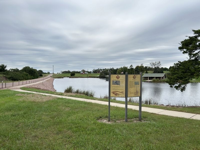
3. Lewis and Clark / Wagner Marker
Credits. This page was last revised on October 10, 2026. It was originally submitted on October 10, 2026. This page has been viewed 6 times since then. Photos: 1, 2, 3. submitted on October 10, 2026.
