Near Bertram in Burnet County, Texas — The American South (West South Central)
Stringtown Cemetery
Photographed by Nichole
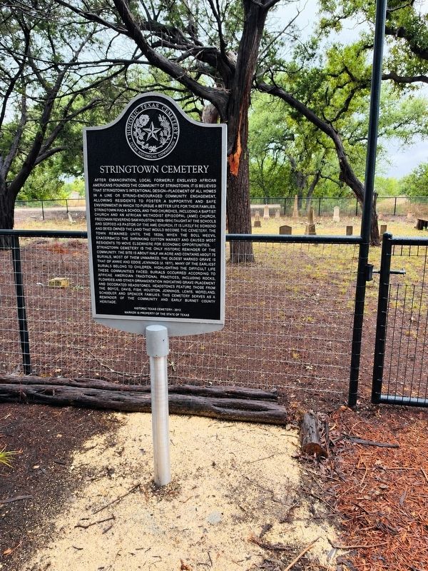
1. Stringtown Cemetery Marker
After Emancipation, local formerly enslaved African American founded the community of Stringtown. It is believed that Stringtown's intentional design—placement of all homes in a line or string—encouraged community engagement, allowing residents to foster a supportive and safe environment in which to pursue a better life for their families. Stringtown had a school and two churches, including a Baptist church and an African Methodist Episcopal (AME) church. Freedman Reverend Sam Houston (1824-1894) taught at the school and served as pastor of the AME church. It is likely Reverend Houston owned the land that would become the cemetery. The town remained until the 1920s, when the boll weevil exacerbated the shrinking cotton market and caused most residents to move elsewhere for economic opportunities. Stringtown Cemetery is the only historic reminder of the community. The site is about half an acre and contains about 75 burials, most of them unmarked. The oldest marked grave is that of Annie and Eddie Jennings (d. 1877). Many of the earliest burials belong to children, highlighting the difficult life these communities faced.
this page online
Erected 2012 by Texas Historical Commission and Burnet County Historical Commission. (Marker Number 24042.)
Topics. This historical marker is listed in these topic lists: African Americans • Cemeteries & Burial Sites. A significant historical year for this entry is 2012.
Location. 30° 41.295′ N, 98° 3.719′ W. Marker is near Bertram, Texas, in Burnet County. It is on County Road 326A 0.2 miles west of Farm to Market Road 1174. Touch for map. Marker is at or near this postal address: 442 Co Rd 326A, Bertram TX 78605, United States of America. Touch for directions.

Regionally, this marker is in the Hill Country. It is also in the American South. Globally, it is in North America, a Gulf of Mexico state, the Western Hemisphere, the Western World, and the Anglosphere. Historically, it finds itself in what was once New Spain, the Republic of Texas, and one of the Confederate States of America.
Other nearby markers. At least 8 other markers are within 4 miles of this marker, measured as the crow flies: Oatmeal Cemetery (approx. 1.3 miles away); Early Oatmeal School (approx. 1½ miles away); The Village of South Gabriel (approx. 2.4 miles away); The Bryson Place (approx. 2.7 miles away); J.V. "Pinky" Wilson (approx. 3.9 miles away); Bertram Depot (approx. 3.9 miles away); The City of Bertram (approx. 3.9 miles away); Bertram (approx. 4 miles away). Touch for a list and map of all markers in Bertram.
Credits. This page was last revised on October 11, 2026. It was originally submitted on October 10, 2026, by Nichole of Marble Falls, Texas. This page has been viewed 6 times since then. Photo 1. submitted on October 10, 2026, by Nichole of Marble Falls, Texas. • James Hulse was the editor who published this page.
