Dinkelsbühl in Ansbach, Bavaria, Germany — Central Europe
Der Krieg wütet
1625 - 1630 Dänisch - Niedersächsischer Krieg
⎯⎯⎯
War rages
1625 - 1630 Danish - Lower Saxon War
| — | 1626 | — |
Photographed by James Hulse, September 14, 2026
1. Der Krieg wütet / War rages Marker

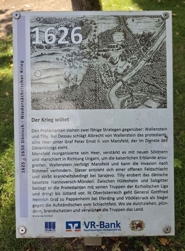
Den Protestanten stehen zwei fähige Strategen gegenüber: Wallenstein und Tilly. Bei Dessau schlägt Albrecht von Wallenstein das protestantische Heer unter Graf Peter Ernst II. von Mansfeld, der im Dienste des Dänenkönigs steht.
Mansfeld reorganisierte sein Heer, verstärkt es mit neuen Söldnern und marschiert in Richtung Ungarn, um die kaiserlichen Erblande anzugreifen. Wallenstein verfolgt Mansfeld und kann die Invasion nach Böhmen verhindern. Dieser entzieht sich einer offenen Feldschlacht und stirbt krankheitsbedingt bei Sarajevo. Tilly erobert das dänische besetzte Hannoversch-Münden. Zwischen Hildesheim und Salzgitter besiegt er die Protestanten mit seinen Truppen der Katholischen Liga und dringt bis Jütland vor. In Oberösterreich geht General Gottfried Heinrich Graf zu Pappenheim bei Eferding und Vöcklabruck als Sieger gegen die Aufständischen vom Schlachtfeld. Wo sie durchziehen, plündern, brandschatzen und verwüsten die Truppen das Land.
© Johannes Munique
War rages
The Protestants face two capable strategists: Wallenstein and Tilly. At Dessau, Albrecht von Wallenstein
this page online
Erected by SHW Komplett, VR-Bank Feuchtwangen-Dinkelsbühl eG and Getreue des Königs Gustav Adolf 1632 e.V.
Topics. This historical marker is listed in this topic list: Wars, Non-US.
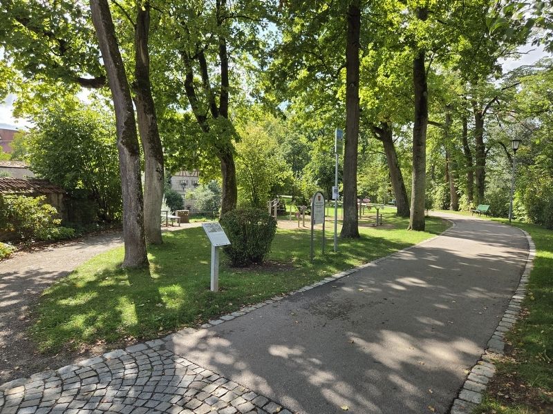
Location. 49° 4.366′ N, 10° 19.029′ E. Marker is in Dinkelsbühl, Bayern (Bavaria), in Ansbach. It is at the intersection of Dinkelsbühl Trail and Loderweg on Dinkelsbühl Trail.
Photographed by James Hulse, September 14, 2026
2. Der Krieg wütet / War rages Marker

Regionally, this marker is in German Franconia and on the Romantic Road. Globally, it is in Europe, the European Union, Atlantic Europe, Central Europe, the Schengen Area, Western Europe, and the Western World. Historically, it finds itself in what was once the Holy Roman Empire and also the former West Germany.
Other nearby markers. At least 8 other markers are within walking distance of this marker: Dänemark und die Protestanten verlieren an Boden / Denmark and the Protestants lose ground (within shouting distance of this marker); Dänemark greift ein – Wallenstein als Gegengewicht / Denmark intervenes – Wallenstein as a counterwe (within shouting distance of this marker); Lore-Statue (about 120 meters away, measured in a direct line); 10 Jahre Krieg – Das Jahr ohne Sommer / 10 years of war – The year without a summer (about 120 meters away); Frankreich bringt sich in Stellung / France positions itself (about 150 meters away); Rothenburger Tor / Rothenburg Gate (about 150 meters away); Die Gerichtstafeln in den Dinkelsbühler Stadttoren

Photographed by James Hulse, September 14, 2026
3. Der Krieg wütet / War rages Marker
Credits. This page was last revised on October 11, 2026. It was originally submitted on October 11, 2026, by James Hulse of Medina, Texas. This page has been viewed 5 times since then. Photos: 1, 2, 3. submitted on October 11, 2026, by James Hulse of Medina, Texas.
