Near Enloe in Delta County, Texas — The American South (West South Central)
Camp Shed Cemetery
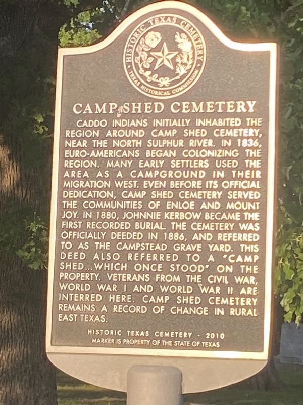
Photographed by Duane and Tracy Marsteller, May 2, 2026
1. Camp Shed Cemetery Marker
Erected 2012 by Texas Historical Commission. (Marker Number 17330.)
Topics. This historical marker is listed in these topic lists: Cemeteries & Burial Sites • Settlements & Settlers. A significant historical year for this entry is 1836.
Location. 33° 28.542′ N, 95° 38.204′ W. Marker is near Enloe, Texas, in Delta County. It is on DC Road 4715 half a mile north of Farm to Market 1742, on the right when traveling
this page online

Regionally, this marker is in the American South and in the Piney Woods. Globally, it is in North America, a Gulf of Mexico state, the Western Hemisphere, the Western World, and the Anglosphere. Historically, it finds itself in what was once New Spain, the Republic of Texas, one of the Confederate States of America, and the Antebellum South.
Other nearby markers. At least 8 other markers are within 8 miles of this marker, measured as the crow flies: Pioneer Citizen Leroy Nelson DeWitt (approx. 0.9 miles away); Thomas Wilson Stegall (approx. 3.4 miles away); John William Wilson (approx. 5 miles away); Delta County (approx. 7.4 miles away); Methodist Church (approx. 7.6 miles away); Hiram Rattan (approx. 7.6 miles away); Sam B. Turbeville (approx. 7.6 miles away); Thomas A. Lambeth (approx. 7.6 miles away).
Also see . . . Camp Shed Cemetery. Find a Grave page on the historic burial ground. (Submitted on October 11, 2026, by Duane and Tracy Marsteller of Murfreesboro, Tennessee.)
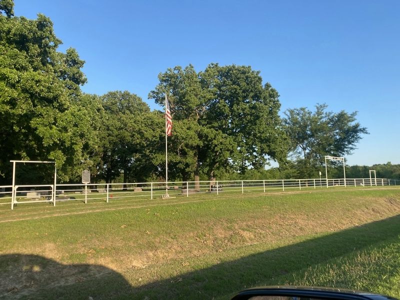
Photographed by Duane and Tracy Marsteller, May 2, 2026
2. Camp Shed Cemetery Marker
Credits. This page was last revised on October 11, 2026. It was originally submitted on October 11, 2026, by Duane and Tracy Marsteller of Murfreesboro, Tennessee. This page has been viewed 5 times since then. Photos: 1, 2. submitted on October 11, 2026, by Duane and Tracy Marsteller of Murfreesboro, Tennessee.
