Kyneton in Macedon Ranges Shire, Victoria, Australia — Oceania
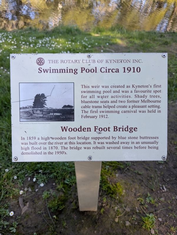
Swimming Pool Circa 1910
Wooden Foot Bridge
Photographed by Dean Barton-Ancliffe, August 31, 2026
1. Swimming Pool Circa 1910 Marker
This weir was created as Kyneton's first swimming pool and was a favourite spot for all water activities. Shady trees, bluestone seats and two former Melbourne cable trams helped create a pleasant setting. The first swimming carnival was held in February 1912.
Wooden Foot Bridge
In 1859 a high wooden foot bridge supported by blue stone buttresses was built over the river at this location. It was washed away in an unusually high flood in 1870. The bridge was rebuilt several times before being demolished in the 1950's.
Erected by The Rotary Club of Kyneton.
Topics and series. This historical marker is listed in these topic lists: Bridges & Viaducts • Parks & Recreational Areas. In addition, it is included in the Rotary International series list. A significant historical year for this entry is 1910.
Location. 37° 15.027′ S, 144° 26.488′ E. Marker is in Kyneton, Victoria, in Macedon Ranges Shire. It is at the intersection of Saint Agnes Place and Mill Street, on the right when traveling south on Saint Agnes Place. Touch for map. Marker is at or near this postal address: 13 Saint Agnes
this page online

Regionally, it is in Oceania, in Australasia, in the Pacific Ocean, in South Pacific, on the Pacific Rim, in the Western World, and in the Anglosphere. Historically, it finds itself in what was once a British colony.
Other nearby markers. At least 8 other markers are within walking distance of this marker: Gabi mele Taungurung (Daagung Wurrung) Biik (approx. 0.8 kilometers away); Greetings to Taungurung Country - Northern Marker (approx. 0.8 kilometers away); Old Butter Factory (approx. 0.9 kilometers away); Kyneton Old Scholars War Memorial (approx. 0.9 kilometers away); Congregational or Independent Church (approx. 0.9 kilometers away); Kyneton Museum (approx. 0.9 kilometers away); Kyneton Museum - National Trust (approx. one kilometer away); Old Bank of New South Wales (approx. one kilometer away). Touch for a list and map of all markers in Kyneton.
Photographed by Dean Barton-Ancliffe, August 31, 2026
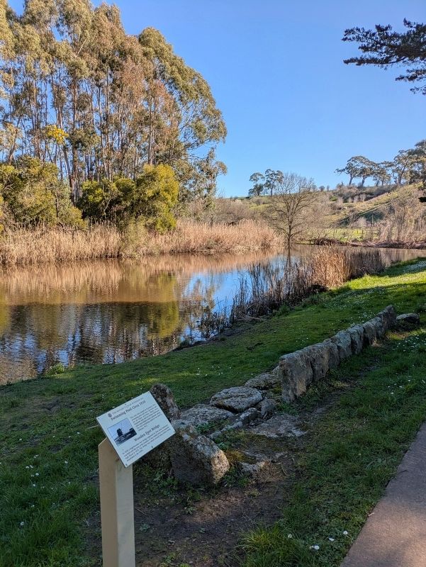
2. Swimming Pool Circa 1910 Marker at the side of the River
Credits. This page was last revised on October 12, 2026. It was originally submitted on October 11, 2026, by Dean Barton-Ancliffe of Rowville, Victoria. This page has been viewed 7 times since then. Photos: 1, 2. submitted on October 11, 2026, by Dean Barton-Ancliffe of Rowville, Victoria. • Andrew Ruppenstein was the editor who published this page.
