Woolford in Dorchester County, Maryland — The American Northeast (Mid-Atlantic)
Harriet Tubman
Birthplace
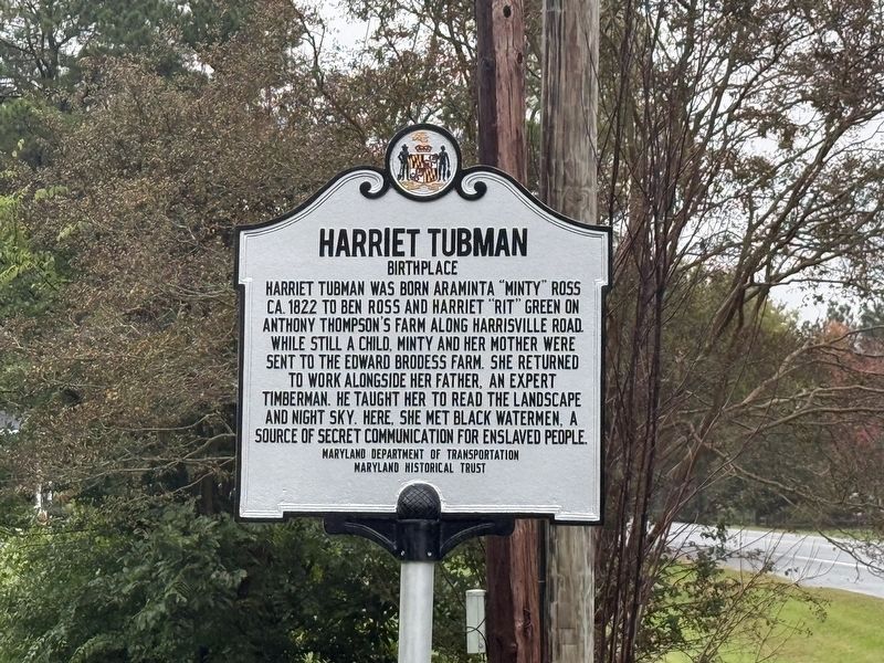
Harriet Tubman was born Araminta "Minty" Ross ca. 1822 to Ben Ross and Harreit "Rit" Green on Anthony Thompson's farm along Harrisville Road. While still a child, Minty and her mother were sent to the Edward Brodess Farm. She returned to work alongside her father, an expert timberman. He taught her to read the landscape and night sky. Here, she met Black watermen, a source of secret communication for enslaved people.
Erected 2025 by Maryland Department of Transportation; Maryland Historical Trust.
Topics and series. This historical marker is listed in these topic lists: African Americans • Communications • Industry & Commerce • Women. In addition, it is included in the Maryland Historical Trust series list. A significant historical year for this entry is 1822.
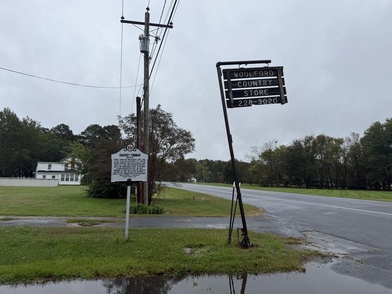
Location. 38° 30.218′ N, 76° 10.671′ W. Marker is in Woolford, Maryland, in Dorchester County. It is on Taylors Island Road (Maryland Route 16) west of Steamboat Road, on the left when traveling east. Touch for map. Marker is at or near this postal address: 1614 Taylors Island Rd, Woolford MD 21677, United States of America. Touch for directions.

Regionally,
this page online
Other nearby markers. At least 8 other markers are within 3 miles of this marker, measured as the crow flies: Trinity P.E. Church (approx. 0.6 miles away); Writer, War Strategist, Enigma (approx. 0.6 miles away); Walk the Old Trinity Heritage Trail (approx. 0.6 miles away); Finding Freedom (approx. 1.4 miles away); Treaty Oak (approx. 1½ miles away); Church Creek (approx. 1.6 miles away); Malone's Church (approx. 2.3 miles away); Gethsemane Methodist Protestant Church (approx. 2.4 miles away). Touch for a list and map of all markers in Woolford.
Another marker is no longer nearby. Anna Ella Carroll (was approx. 0.6 miles away but has been replaced with another marker now near it).
Credits. This page was last revised on October 11, 2026. It was originally submitted on October 11, 2026, by Devry Becker Jones of Washington, District of Columbia. This page has been viewed 2 times since then. Photos: 1, 2. submitted on October 11, 2026, by Devry Becker Jones of Washington, District of Columbia.
