Near Churubusco in Allen County, Indiana — The American Midwest (Great Lakes)
Site of Hardin's Defeat
Photographed by Trevor L Whited, October 11, 2026
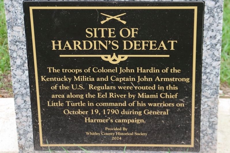
1. Site of Hardin's Defeat Marker
The troops of Colonel John Hardin of the Kentucky Militia and Captain John Armstrong of the U.S. Regulars were routed in this area along the Eel River by Miami Chief Little Turtle in command of his warriors on October 19, 1790 during General Harmer's campaign.
Erected 2024 by Whitley County Historical Society.
Topics. This historical marker is listed in this topic list: Wars, US Indian. A significant historical date for this entry is October 19, 1790.
Location. 41° 11.353′ N, 85° 17.333′ W. Marker is near Churubusco, Indiana, in Allen County. It is on Carroll Road west of Madden Road, on the right when traveling west. Churubusco is the closest town which is in Whitley County, but the marker sits in Allen County. Touch for map. Marker is at or near this postal address: 11428 Carroll Rd, Fort Wayne IN 46818, United States of America. Touch for directions.

Regionally, this marker is in Northern Indiana and in Greater Fort Wayne. It is also in the American Midwest and in the Corn Belt. Globally, it is in North America, the Western Hemisphere, the Western World, and the Anglosphere. Historically, it finds itself in what
this page online
Other nearby markers. At least 8 other markers are within 4 miles of this marker, measured as the crow flies: This Tribute To… (within shouting distance of this marker); Churubusco War Memorial (approx. 3.2 miles away); Churubusco Railroad Depot (approx. 3.3 miles away); Here's how Churubusco got its name (approx. 3.3 miles away); Little Turtle (approx. 3.3 miles away); DX Gas Station (approx. 3.3 miles away); Johnny Krieger 1935-2003 (approx. 3.3 miles away); a different marker also named The Brumbaugh Popcorn Stand (approx. 3.3 miles away). Touch for a list and map of all markers in Churubusco.
Other markers no longer nearby. Site of Hardin’s Defeat (was about 400 feet away, measured in a direct line but has been permanently removed); The Brumbaugh Popcorn Stand (was approx. 3.3 miles away but has been permanently removed).
More about this marker. The marker lies just left of the entrance of Riverview Cemetery.
Related markers. Click here for a list of markers that are related to this marker.

Photographed by Trevor L Whited, October 11, 2026
2. Site of Hardin's Defeat Marker

Photographed by Trevor L Whited, October 11, 2026
3. Site of Hardin's Defeat Marker
Credits. This page was last revised on October 13, 2026. It was originally submitted on October 11, 2026, by Trevor L Whited of Kokomo, Indiana. This page has been viewed 7 times since then. Photos: 1, 2, 3. submitted on October 11, 2026, by Trevor L Whited of Kokomo, Indiana. • Devry Becker Jones was the editor who published this page.
