Near Queenstown in Queen Anne's County, Maryland — The American Northeast (Mid-Atlantic)
Cloverfields
Built 1705
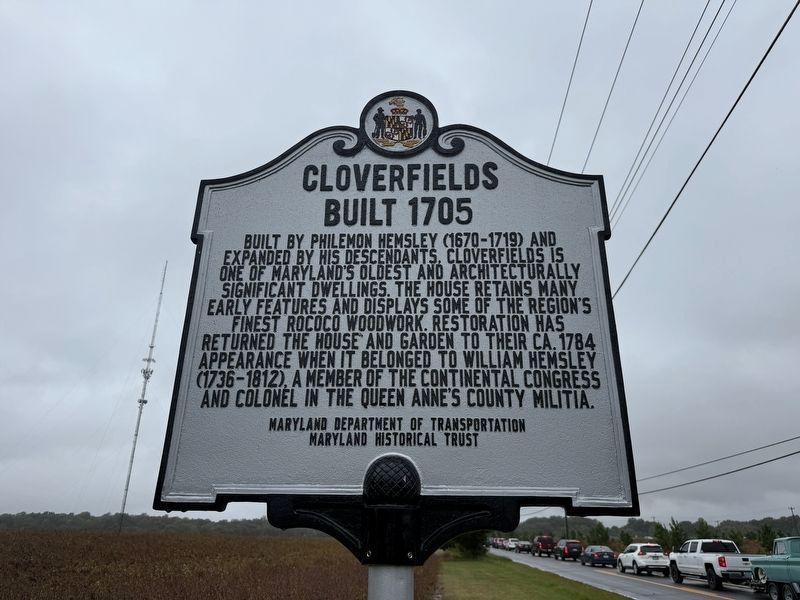
Built by Philemon Hemsley (1670-1719) and expanded by his descendants, Cloverfields is one of Maryland's oldeste and architecturally significant dwellings. The house retains many early features and displays some of the region's finest rococo woodwork. Restoration has returned the house and garden to their ca. 1784 appearance when it belonged to William Hemsley (1736-1812), a member of the Continental Congress and colonel in the Queen Anne's County Militia.
Erected by Maryland Department of Transportation; Maryland Historical Trust.
Topics and series. This historical marker is listed in these topic lists: Architecture • Colonial Era • Government & Politics • War, US Revolutionary. In addition, it is included in the Maryland Historical Trust series list. A significant historical year for this entry is 1784.
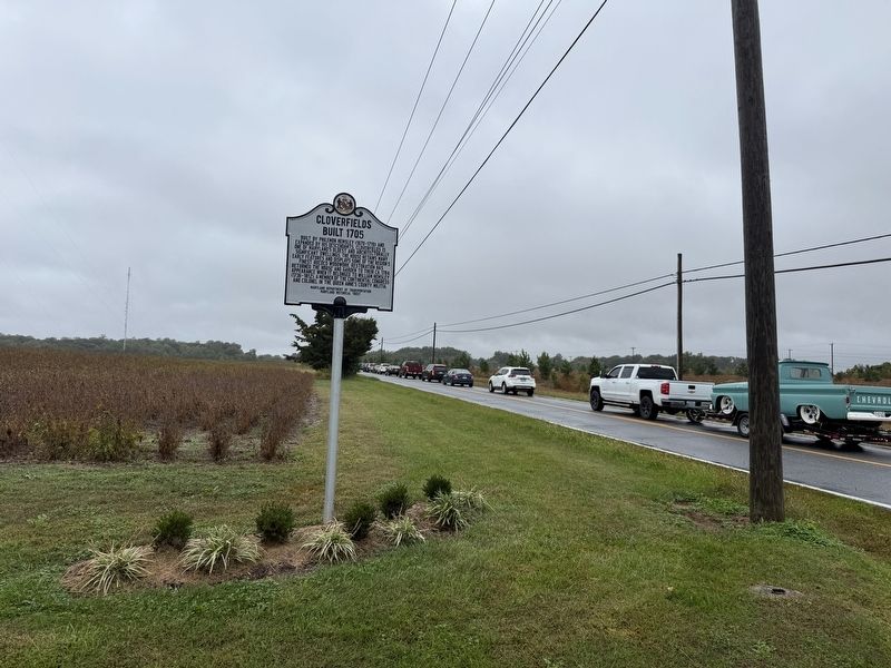
Location. 38° 57.313′ N, 76° 5.382′ W. Marker is near Queenstown, Maryland, in Queen Anne's County. It is at the intersection of Wye Mills (Maryland Route 662) and Foremans Landing Road, on the left when traveling north on Wye Mills. Touch for map. Marker is at or near this postal address: 241 Wye
this page online

Regionally, this marker is on the Eastern Shore. It is also in the American Mid-Atlantic, on the Delmarva Peninsula, in the Tidewater, in the Chesapeake Bay Region, and on the Eastern Seaboard. Globally, it is in the North Atlantic Region, North America, the Western Hemisphere, the Western World, and the Anglosphere. Historically, it finds itself in what was once one of the original Thirteen Colonies and also the Antebellum South.
Other nearby markers. At least 8 other markers are within 2 miles of this marker, measured as the crow flies: Chesapeake College (approx. 0.3 miles away); Wye Grist Mill and Museum (approx. one mile away); So, How Does a Mill Work? (approx. one mile away); A Brief History of the Mill (approx. one mile away); Wye Grist Mill (approx. one mile away); a different marker also named The Wye Grist Mill (approx. one mile away); The “Little House” in the Shade (approx. 1.2 miles away); Wye Oak House (approx. 1.2 miles away). Touch for a list and map of all markers in Queenstown.
Another marker is no longer nearby. "Clover Field"
Credits. This page was last revised on October 11, 2026. It was originally submitted on October 11, 2026, by Devry Becker Jones of Washington, District of Columbia. This page has been viewed 7 times since then. Photos: 1, 2. submitted on October 11, 2026, by Devry Becker Jones of Washington, District of Columbia.
