
Lichfield in Staffordshire, England, United Kingdom — Northwestern Europe (the British Isles)
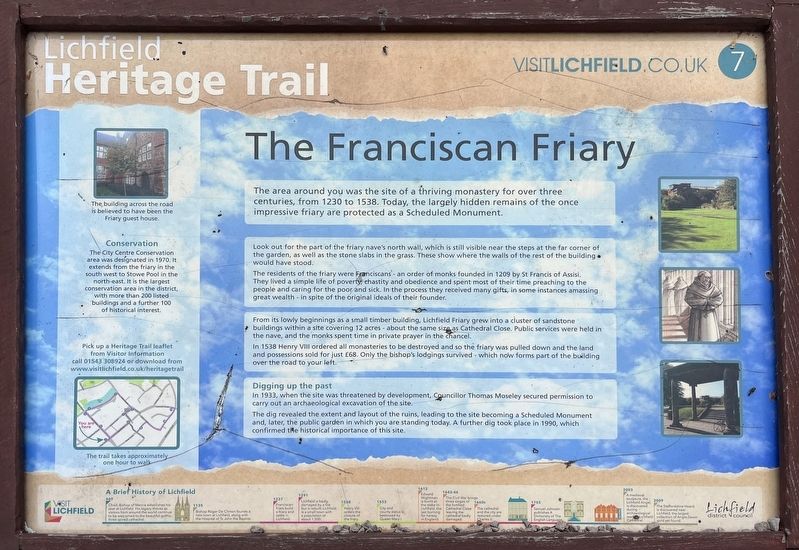
The Franciscan Friary
| — | Lichfield Heritage Trail | — |
Photographed by Ray Gurganus, May 11, 2026
1. The Franciscan Friary Marker
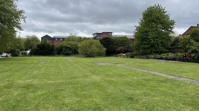
Look out for the part of the friary nave's north wall, which is still visible near the steps at the far corner of the garden, as well as the stone slabs in the grass. These show where the walls of the rest of the building would have stood.
The residents of the friary were Franciscans - an order of monks founded in 1209 by St Francis of Assisi They lived a simple life of poverty chastity and obedience and spent most of their time preaching to the people and caring for the poor and sick. In the process they received many gifts, in some instances amassing great wealth - in spite of the original ideals of their founder.
From its lowly beginnings as a small timber building, Lichfield Friary grew into a cluster of sandstone buildings within a site covering 12 acres about the same size as Cathedral Close. Public services were held in the nave, and the monks spent time in private prayer in the chancel.
In 1538 Henry
this page online
Digging up the past
In 1933, when the site was threatened by development, Councillor Thomas Moseley secured permission to carry out an archaeological excavation of the site.
The dig revealed the extent and layout of the ruins, leading to the site becoming a Scheduled Monument and, later, the public garden in which you are standing today. A further dig took place in 1990, which confirmed the historical importance of this site.
Erected by Lichfield District Council. (Marker Number 7.)
Topics. This historical marker is listed in these topic lists: Anthropology & Archaeology • Religion & Religious Structures. A significant historical year for this entry is 1230.
Location. 52° 40.92′ N, 1° 49.791′ W. Marker is in Lichfield, England, in Staffordshire. It is on The Friary, on the left when traveling north. Touch for map. Marker is in this post office area: Lichfield, England WS13 6PW, United Kingdom.
Photographed by Ray Gurganus, May 11, 2026
2. Site of the Franciscan Friary

Regionally, this marker is in the Midlands. Globally, it is on the Atlantic Ocean, in the North Atlantic Region, in Europe, in Atlantic Europe, on one of the British Isles, in the Western World, and in the Anglosphere. Historically, it finds itself in what was once the Roman Empire.
Other nearby markers. At least 8 other markers are within walking distance of this marker: 1910 London To Manchester Flight (within shouting distance of this marker); George Farquhar (1677-1707) (about 90 meters away, measured in a direct line); Inns and Outs (about 90 meters away); Promenades and Pleasure Gardens (about 210 meters away); Edward Wightman Memorial (about 210 meters away); The Hospital of St John the Baptist, Without the Barrs of the City of Lichfield (approx. 0.2 kilometers away); The Hospital of St John the Baptist, Without the Barrs, Lichfield (approx. 0.2 kilometers away); Theatres and Thespians (approx. 0.3 kilometers away). Touch for a list and map of all markers in Lichfield.
Credits. This page was last revised on October 12, 2026. It was originally submitted on October 12, 2026, by Ray Gurganus of Washington, District of Columbia. This page has been viewed 8 times since then. Photos: 1, 2. submitted on October 12, 2026, by Ray Gurganus of Washington, District of Columbia. • Andrew Ruppenstein was the editor who published this page.
