Maple Park in Kane County, Illinois — The American Midwest (Great Lakes)
Lincoln Highway
Maple Park
Photographed by Cosmos Mariner, September 12, 2023
1. Lincoln Highway Marker
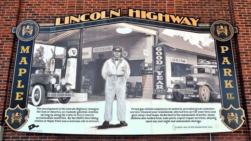
The development of the Lincoln Highway changed the look of America, as roadside gasoline stations sprung up along the route in every town to accommodate motorists. By the 1920's this filling station in Maple Park was a welcome site to drivers.
Proud gas station employees in uniform, provided great customer service, cleaned your windshield, offered free air for your tires and gave away road maps. Dedicated to the automobile traveler, many stations also touted food, auto parts, expert repair services, staying open day and night and automobile storage.
Erected by America's Byways.
Topics and series. This historical marker is listed in these topic lists: Industry & Commerce • Roads & Vehicles. In addition, it is included in the Lincoln Highway series list.
Location. 41° 54.352′ N, 88° 36.011′ W. Marker is in Maple Park, Illinois, in Kane County. It is on Willow Street just east of West County Line Road, on the right when traveling east. The marker is on the northwest corner of the old Maple Park high school building, facing west. Touch for map. Marker is at or near
this page online

Regionally, this marker is in Greater Chicago. It is also in the American Midwest. Globally, it is in North America, on the Great Lakes, in the Western Hemisphere, in the Western World, and in the Anglosphere. Historically, it finds itself in what was once the territory of the Mississippian Culture and also the Northwest Territory.
Other nearby markers. At least 8 other markers are within 8 miles of this marker, measured as the crow flies: DeKalb County Farm Bureau (approx. 6.8 miles away); Marsh Harvester (approx. 7.1 miles away); Sycamore Historic District (approx. 7.2 miles away); DeKalb County Civil War Memorial (approx. 7.2 miles away); DeKalb Swine Breeders (approx. 7.2 miles away); DeKalb County Vietnam Veterans Memorial (approx. 7.2 miles away); For God and Country (approx. 7.2 miles away); DeKalb Ag (approx. 7.3 miles away).
Also see . . . Lincoln Highway Illinois.
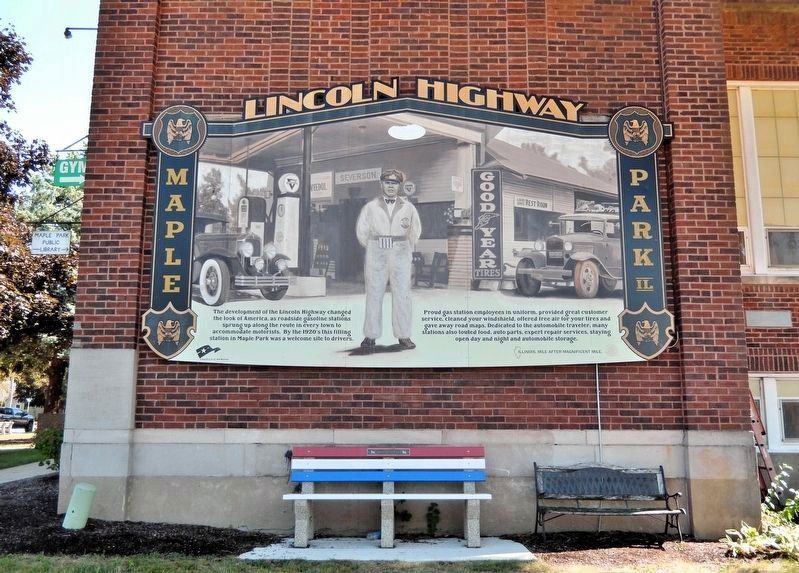
Excerpt: Established in 1912 by early automotive entrepreneur Carl G. Fisher, the Lincoln Highway is regarded as the country’s(Submitted on October 12, 2026, by Cosmos Mariner of Cape Canaveral, Florida.)first transcontinental route and is affectionately known as the “Father Road.” Inspired by the Good Roads Movement and the National Old Trails Road, the Lincoln Highway was also the first route constructed specifically for automobile use, catalyzed by the need for all-weather, hard-surfaced, durable roads and the idea that the route would showcase what roads could be.Photographed by Cosmos Mariner, September 12, 20232. Lincoln Highway MarkerThe marker is high on the northwest corner of the old Maple Park high school building, facing west.
Using and improving existing roads, Fisher's idea became a reality in just three years, as the Lincoln Highway crossed 3,400 miles from New York to San Francisco when it was completed in 1915. The highway was dedicated to the memory of one of Fisher’s heroes, President Abraham Lincoln, and now connected communities from coast-to-coast through the nation's heartland.
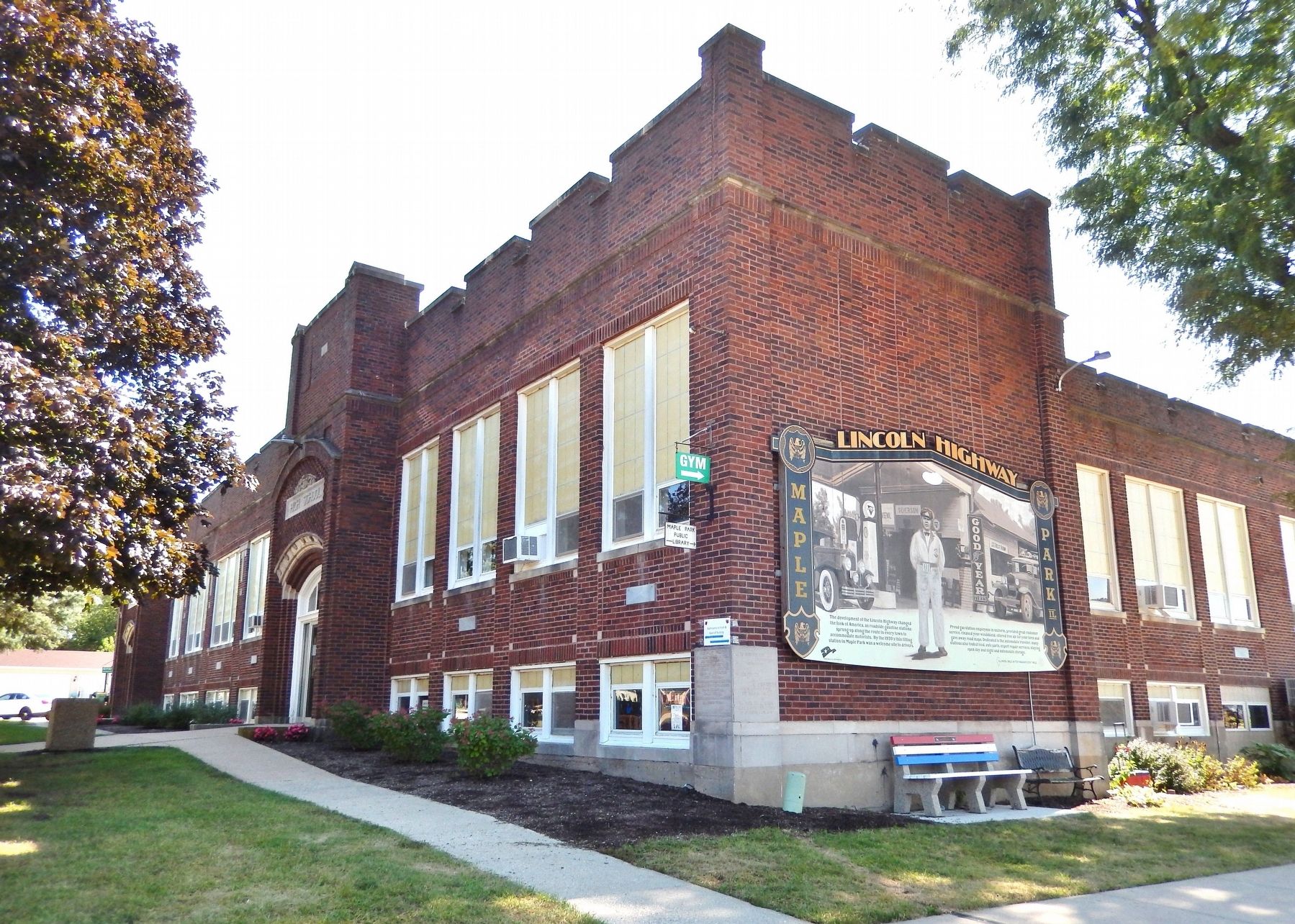
Illinois has the distinguished honor of being the first state to complete its segment through the dedication and hard work of the communities along the route. The first federal highway funding legislation would not be established until the 1916 Federal Aid Road Act was signed into law, which provided federal subsidies for road-building efforts for the first time in the nation's history. Due to the lack of publicfunding, individuals and communities funded and undertook the physical construction of the Lincoln Highway. In turn, the highway provided an economic boost to the communities located along the route, earning the nickname “The Main Street of America.”Photographed by Cosmos Mariner, September 12, 20233. Old Maple Park High School Building (northwest elevation)Today the old Maple Park high school building houses the Maple Park Police Department (left), and Public Library, Civic Center and Gymnasium (right).
Credits. This page was last revised on October 12, 2026. It was originally submitted on October 12, 2026, by Cosmos Mariner of Cape Canaveral, Florida. This page has been viewed 7 times since then. Photos: 1, 2, 3. submitted on October 12, 2026, by Cosmos Mariner of Cape Canaveral, Florida.
