Plymouth in Plymouth County, Massachusetts — The American Northeast (New England)
This Land Was Occupied by Thomas Prence

Photographed by G.W.Bartlett, October 12, 2026
1. This Land Was Occupied by Thomas Prence Marker
Thomas Prence
while
Governor of Plymouth Colony
in 1634
Topics. This historical marker is listed in these topic lists: Colonial Era • Settlements & Settlers. A significant historical year for this entry is 1634.
Location. 41° 57.506′ N, 70° 39.772′ W. Marker is in Plymouth, Massachusetts, in Plymouth County. It is at the intersection of North Street and Water Street on North Street. Touch for map. Marker is at or near this postal address: 36 North Street, Plymouth MA 02360, United States of America. Touch for directions.

Regionally, this marker is on the South Shore. It is also in the American Northeast, in New England, and on the Eastern Seaboard. Globally, it is in the North Atlantic Region, North America, the Western Hemisphere, the Western World, and the Anglosphere. Historically, it finds itself in what was once one of the original Thirteen Colonies.
Other nearby markers. At least 8 other markers are within walking distance of this marker: Pilgrim Mother Statue (a few steps from this marker); Massasoit (within shouting distance of this marker); Welcome To Mayflower II (within
this page online
Another marker is no longer nearby. America's Hometown (was within shouting distance of this marker but has been confirmed missing).
More about this marker. This marker is affixed to the western side of 36 North Street, also known as the Samuel Lucius-Thomas Howland House.
Also see . . .
1. Thomas Prence - Wikipedia.
Thomas Prence (c. 1601 – March 29, 1673) was a New England colonist who arrived in the colony of Plymouth in November 1621 on the ship Fortune. In 1644 he moved to Eastham, which he helped found, returning later to Plymouth. For many years, he was prominent in Plymouth colony affairs and was colony governor for about twenty years, covering three terms.(Submitted on October 13, 2026, by G.W.Bartlett of Hingham, Massachusetts.)
2. Gov. Thomas Prence (1600-1673) - Find-a-Grave.
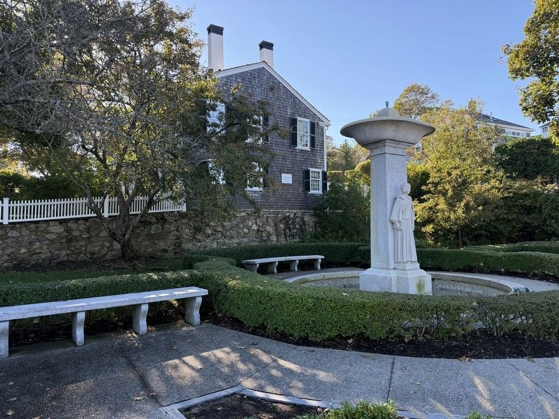
Photographed by G.W.Bartlett, October 12, 2026
2. This Land Was Occupied by Thomas Prence Marker
Colonial Royal Governor. He was born about 1600 (based on his age at the time of his death), and was the son of Thomas Prence, carriage-maker, of Lechdale, County Gloucestershire, England. He came to America on the ship "Fortune" in 1621, and he served as the fourth Governor of Plymouth Colony from 1634 to 1635, then from 1638 to 1639, and again from 1657 until his death in 1673.(Submitted on October 13, 2026, by G.W.Bartlett of Hingham, Massachusetts.)
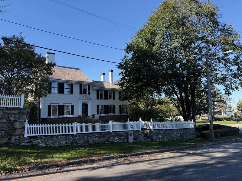
Photographed by G.W.Bartlett, October 12, 2026
3. This Land Was Occupied by Thomas Prence Marker
National Historical Society plaque also visible below the fenceline.

Photographed by G.W.Bartlett, October 12, 2026
4. This Land Was Occupied by Thomas Prence Marker
View of property with Plymouth Rock to the southwest.
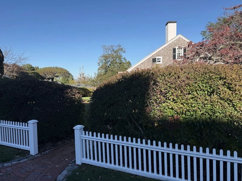
Photographed by G.W.Bartlett, October 12, 2026
5. This Land Was Occupied by Thomas Prence Marker
View of property with Mayflower II to the northwest.
Credits. This page was last revised on October 13, 2026. It was originally submitted on October 12, 2026, by G.W.Bartlett of Hingham, Massachusetts. This page has been viewed 13 times since then. Photos: 1, 2, 3, 4, 5. submitted on October 12, 2026, by G.W.Bartlett of Hingham, Massachusetts. • Andrew Ruppenstein was the editor who published this page.
