Altstadt in Koblenz, Rhineland-Palatinate, Germany — Central Europe
Balduinstrasse
Photographed by James Hulse
1. Balduinstrasse Marker

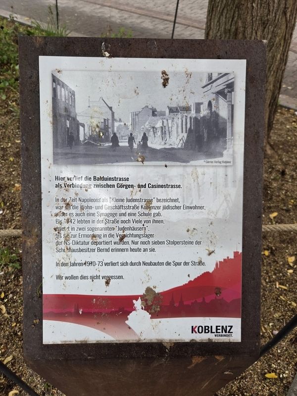
In der Zeit Napoleons als "Kleine Judenstrasse" bezeichnet, war sie die Wohn- und Geschäftsstraße Koblenzer jüdischer Einwohner, in der es auch eine Synagoge und eine Schule gab. Bis 1942 lebten in der Straße noch Viele von ihnen, zuletzt in zwei sogenannten "Judenhäusern", bis sie zur Ermordung in die Vernichtungslager der NS-Diktatur deportiert wurden. Nur noch sieben Stolpersteine der Schuhhausbesitzer Bernd erinnern heute an sie.
In den Jahren 1970-73 verliert sich durch Neubauten die Spur der Straße.
Wir wollen dies nicht vergessen.
© Görres Verlag Koblenz
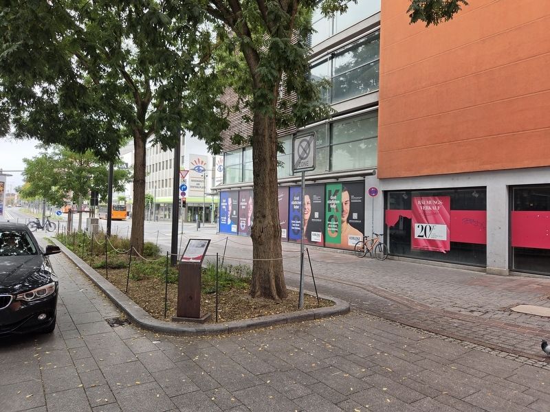
Balduinstrasse once ran here, connecting Görgenstrasse and Casinostrasse.
Known as “Little Jewish Street” during Napoleon’s time, it was a residential and commercial street for Koblenz’s Jewish inhabitants, with a synagogue and a school. Many still lived here until 1942, finally confined to two so-called “Jewish houses,” before being deported to the Nazi dictatorship’s extermination camps to be murdered. Today, only seven Stolpersteine commemorating the Bernd shoe-store owners remain as reminders of them.
Between 1970 and 1973, new construction erased the traces of the street.
We do not want this to be forgotten.
© Görres Verlag Koblenz
Erected by Koblenz verbindet.
Topics. This historical marker is listed in these topic lists: Roads & Vehicles • War, World II. A significant historical year for this entry is 1942.
Location. 50° 21.573′ N, 7° 35.753′ E. Marker is in Koblenz, Rheinland-Pfalz (Rhineland-Palatinate). It is in
this page online

Regionally, this marker is in the German Rhineland, in the Upper Middle Rhine Valley, and specifically in the Moselle Valley. Globally, it is in Europe, the European Union, Atlantic Europe, Central Europe, the Schengen Area, Western Europe, and the Western World. Historically, it finds itself in what was once the Roman Empire, the Holy Roman Empire, and the former West Germany.
Other nearby markers. At least 8 other markers are within walking distance of this marker: Kurt Rosenblatt (here, next to this marker); Zu Den Drei Reichskronen (within shouting distance of this marker); Deutsches Rotes Kreuz / German Red Cross (about 120 meters away, measured in a direct line); Liebfrauenkirche (about 150 meters away); Koblenz (about 150 meters away); Altes Brauhaus / Old Beer Hall (about 150 meters away); Site of Guardhouse (about 150 meters away); Vier Türme / Four Towers (about 150 meters away). Touch for a list and map of all markers in Koblenz.
Photographed by James Hulse
2. Balduinstrasse Marker
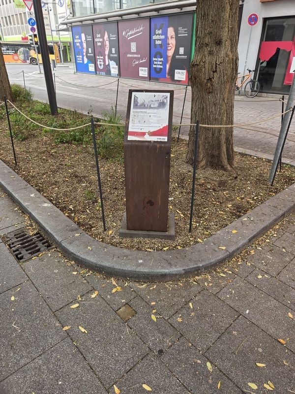
The Stolpersteine stone is below on the ground.
Photographed by James Hulse, October 3, 2026
3. Balduinstrasse Marker
Credits. This page was last revised on October 13, 2026. It was originally submitted on October 13, 2026, by James Hulse of Medina, Texas. This page has been viewed 6 times since then. Photos: 1, 2, 3. submitted on October 13, 2026, by James Hulse of Medina, Texas.
