Altstadt in Koblenz, Rhineland-Palatinate, Germany — Central Europe
Gemüsegasse
Photographed by James Hulse
1. Gemüsegasse Marker

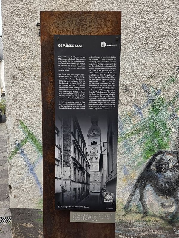
Die parallel zur Mehlgasse und zur Münzgasse verlaufende Gemüsegasse war bereits Teil des mittelalterlichen Straßennetzes in der heutigen Altstadt. In Urkunden des späten 13. Jahrhunderts wurde sie erstmals als Schildergasse erwähnt.
Die Gasse hatte ihren ursprünglichen Namen nach den dort ansässigen Malern. Den Namen Gemüsegasse führte sie erst, nachdem 1711 der Gemüsemarkt in diese Straße verlegt worden war. Ab 1715 wurden Gebäudeüberstände beseitigt und die Straßenführung verbessert. Die Verbindung zur Mehlgasse stellt das nach dem Wirt Etz benannte Gässchen her, der hier im späten 18. und frühen 19. Jahrhundert eine Gastwirtschaft betrieb.
In der Gemüsegasse erfolgten im Zuge der Altstadtsanierung gravierende Eingriffe, vor allem bis Mitte der 1980er-Jahre im Block zwischen Gemüsegasse und Mehlgasse. So wurden die Gebäude Nummer 2, 4 und 16 wegen der Schaffung von Freiflächen ersatzlos abgerissen. Darüber hinaus wurde bis auf das mittelalterlich-frühneuzeitliche Kellersystem und die Fassaden der Häuser 8 und 10 der gesamte Block zwischen Gemüsegasse und Mehlgasse abgebrochen. Beim Neuaufbau entstanden
this page online
Gemüsegasse
Gemüsegasse, which runs parallel to Mehlgasse and Münzgasse, was already part of the medieval street network in today’s old town. It was first mentioned as Schildergasse in documents from the late 13th century.
Its original name referred to the painters who lived there. It became known as Gemüsegasse, or Vegetable Lane, only after the vegetable market moved to this street in 1711. From 1715, projecting parts of buildings were removed and the street layout improved. A small lane named after the innkeeper Etz, who ran an inn here in the late
Photographed by James Hulse, October 3, 2026
2. Gemüsegasse Marker
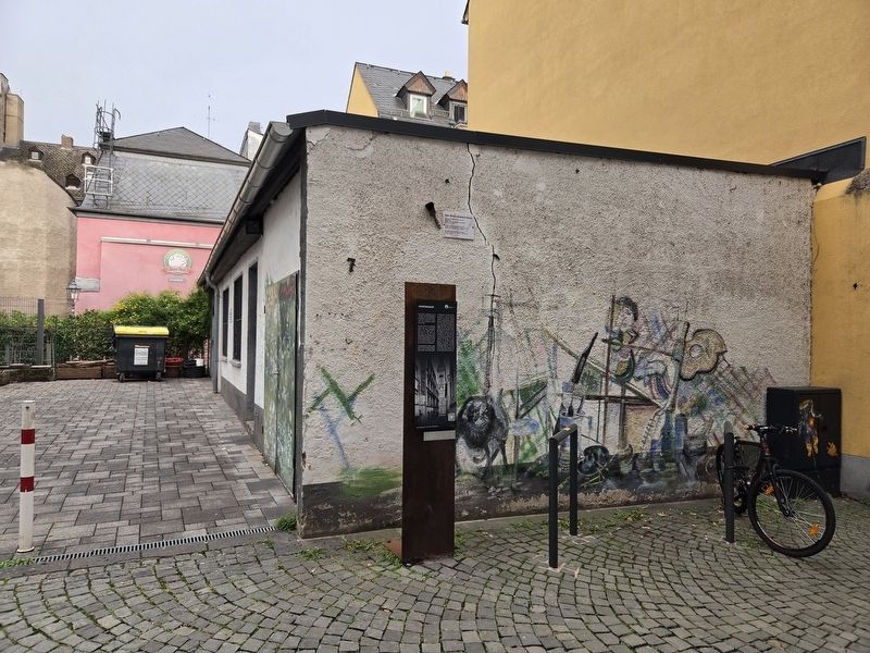
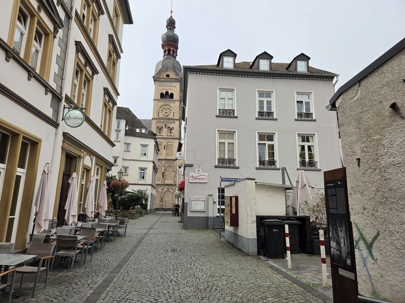
The renovation of the old town brought major changes to Gemüsegasse, particularly to the block between Gemüsegasse and Mehlgasse up to the mid-1980s. Buildings nos. 2, 4, and 16 were demolished without replacement to create open spaces. The entire block between the two streets was also demolished, apart from its medieval and early modern cellars and the façades of nos. 8 and 10. During reconstruction, historically styled buildings at Gemüsegasse 12 and 14 were erected over the old cellars. Major changes also affected the western side of the street, where most buildings had been built in the first half of the 19th century and have since been modernized. The block toward Münzgasse was partly gutted. The former collegiate church property at Gemüsegasse 9, which survived into the early 1990s, also had to be demolished because of its poor condition. Its replacement followed the historical model and was built over the original cellars.
Erected by Spurensuche Koblenz.
Topics. This historical marker is listed in these topic lists: Industry & Commerce • Roads & Vehicles. A significant historical year for this entry is 1711.
Location. 50° 21.687′ N,
Photographed by James Hulse, October 3, 2026
3. Gemüsegasse Marker

Regionally, this marker is in the German Rhineland, in the Upper Middle Rhine Valley, and specifically in the Moselle Valley. Globally, it is in Europe, the European Union, Atlantic Europe, Central Europe, the Schengen Area, Western Europe, and the Western World. Historically, it finds itself in what was once the Roman Empire, the Holy Roman Empire, and the former West Germany.
Other nearby markers. At least 8 other markers are within walking distance of this marker: Weinstube Zum Hubertus / Zum Hubertus Wine Tavern (within shouting distance of this marker); Otto Daniel (within shouting distance of this marker); Juliane Daniel (within shouting distance of this marker); Flora Daniel (within shouting distance of this marker); Geburtshaus / Birthplace (within shouting distance of this marker); Liebfrauenkirche (within shouting distance of this marker); Deutsches Rotes Kreuz / German Red Cross (about 90 meters away, measured in a direct line); Bürresheimer Hof (about 90 meters away). Touch for a list and map of all markers in Koblenz.
Credits. This page was last revised on October 13, 2026. It was originally submitted on October 13, 2026, by James Hulse of Medina, Texas. This page has been viewed 5 times since then. Photos: 1, 2, 3. submitted on October 13, 2026, by James Hulse of Medina, Texas.
