Milford Mine Memorial Park near Wolford in Crow Wing County, Minnesota — The American Midwest (Upper Plains)
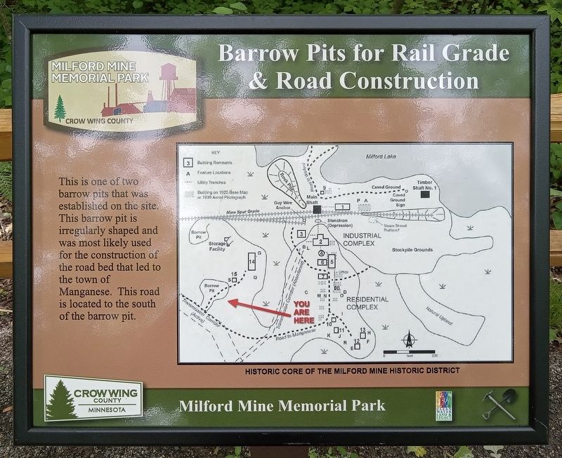
Barrow Pits for Rail Grade & Road Construction
| — | Milford Mine Memorial Park | — |
Photographed by McGhiever, June 27, 2025
1. Barrow Pits for Rail Grade & Road Construction Marker
This is one of two barrow pits that was established on the site. This barrow pit is irregularly shaped and was most likely used for the construction of the road bed that led to the town of Manganese. This road is located to the south of the barrow pit.
Erected by Crow Wing County.
Topics. This historical marker is listed in these topic lists: Industry & Commerce • Roads & Vehicles.
Location. 46° 32.028′ N, 93° 58.46′ W. Marker is near Wolford, Minnesota, in Crow Wing County. It is in Milford Mine Memorial Park. It can be reached from Milford Lake Drive. Touch for map. Marker is in this post office area: Crosby MN 56441, United States of America. Touch for directions.

Regionally, this marker is in the Northland. It is also in the American Midwest, in the Corn Belt, and in the Great River Road Region. Globally, it is in North America, the Great North Woods, the Western Hemisphere, the Western World, and the Anglosphere. Historically, it finds itself in what was once Rupert’s Land, the territory of the Mississippian Culture, and the Northwest Territory.
this page online
Other nearby markers. At least 8 other markers are within walking distance of this marker: Boarding House (within shouting distance of this marker); Storage Facility (within shouting distance of this marker); a different marker also named Barrow Pits for Rail Grade & Road Construction (about 300 feet away, measured in a direct line); Soo Line Railroad Hauls Cuyuna Ore (about 400 feet away); Mud Run, Launder & Dikes (about 500 feet away); Looking North (about 500 feet away); Milford Mine Historic District (about 500 feet away); Water Tank (about 500 feet away). Touch for a list and map of all markers in Wolford.
Photographed by McGhiever, June 27, 2025
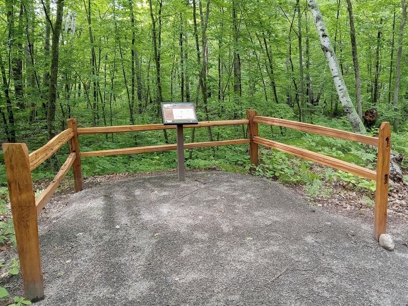
2. Barrow Pits for Rail Grade & Road Construction Marker
Credits. This page was last revised on October 13, 2026. It was originally submitted on October 13, 2026, by McGhiever of Minneapolis, Minnesota. This page has been viewed 5 times since then. Photos: 1, 2. submitted on October 13, 2026, by McGhiever of Minneapolis, Minnesota.
