Bolivar in Tuscarawas County, Ohio — The American Midwest (Great Lakes)
Interstate 77
Fort Laurens
Photographed by Craig Doda, April 26, 2020
1. Interstate 77 Marker
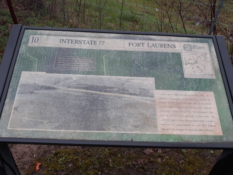
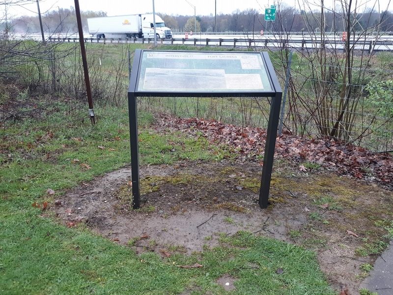
Interstate 77 was built here in the late 1960s. The highway construction caused the river, always the natural defense of the fort's east side, to be moved, and the road was built in the old river bed. With the increased traffic brought by the Interstate, Fort Laurens became more accessible to the public. In 1968, the State of Ohio appropriated funds to build a museum to commemorate the role Fort Laurens played in the struggle for American independence. (Marker Number 10.)
Topics. This historical marker is listed in these topic lists: Forts and Castles • Roads & Vehicles • War, US Revolutionary. A significant historical year for this entry is 1968.
Location. Marker has been permanently removed. It was located near 40° 38.317′ N, 81° 27.283′ W. Marker was in Bolivar, Ohio, in Tuscarawas County. It was on Fort Laurens Road Northwest (County Route 102), on the right when traveling north. Touch for map. Marker was at or near this postal address: 11067 Fort Laurens Rd NW, Bolivar OH 44612, United States of America.
We have been informed that this marker is no longer there and will not be replaced. This page is an archival view of what was.
Regionally,
this page online

Other nearby markers. At least 7 other markers are within 2 miles of this location, measured as the crow flies: Welcome to Ft. Laurens (within shouting distance of this marker); In Commemoration of Our Patriot Ancestors (within shouting distance of this marker); Unknown Soldier (about 400 feet away); Fort Laurens (about 400 feet away); Fort Laurens Continental Outpost of the Ohio Frontier / Survival on the Frontier (about 600 feet away); Bolivar (approx. 1.1 miles away); Treaty of Greene Ville (approx. 1.4 miles away). Touch for a list and map of all markers in Bolivar.
Other markers no longer nearby. Canal (was a few steps from this marker but has been permanently removed); Introduction (was about 300 feet away, measured in a direct
Photographed by Craig Doda, April 26, 2020
2. Interstate 77 Marker
Photographed by Craig Doda, April 26, 2020
3. Interstate 77 Marker
Photographed by Craig Doda, April 26, 2020
4. Interstate 77 Marker
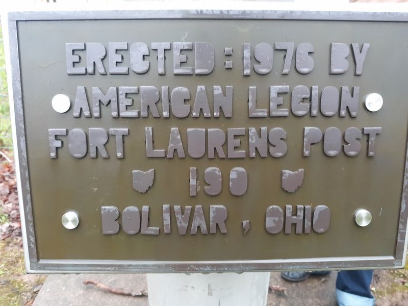
Photographed by Craig Doda, April 26, 2020
5. Interstate 77 Marker
Credits. This page was last revised on October 13, 2026. It was originally submitted on February 6, 2021, by Craig Doda of Napoleon, Ohio. This page has been viewed 555 times since then and 53 times this year. Last updated on October 13, 2026, by Craig Doda of Napoleon, Ohio. Photos: 1, 2, 3, 4, 5. submitted on February 6, 2021, by Craig Doda of Napoleon, Ohio. • Devry Becker Jones was the editor who published this page.
