Bolivar in Tuscarawas County, Ohio — The American Midwest (Great Lakes)
Canal
Fort Laurens
Photographed by Craig Doda, April 26, 2020
1. Canal Marker
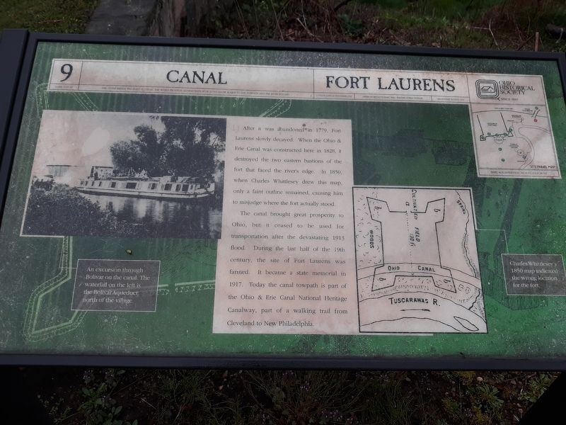
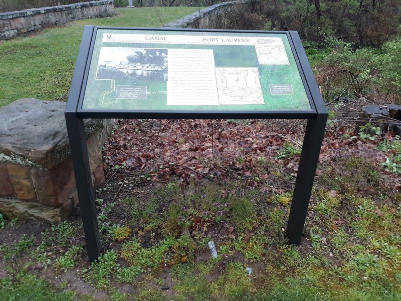
After it was abandoned in 1779, Fort Laurens slowly decayed. When the Ohio & Erie Canal was constructed here in 1828, it destroyed the two eastern bastions of the fort that faced the river's edge. In 1850, when Charles Whittlesey drew this map, only a faint outline remained, causing him to misjudge where the fort actually stood.
The canal brought great prosperity to Ohio, but it ceased to be used for transportation after the devastating 1913 flood. During the last half of the 19th century, the site of Fort Laurens was farmed. It became a state memorial in 1917. Today the canal towpath is part of the Ohio & Erie Canal National Heritage Canalway, part of a walking trail from Cleveland to New Philadelphia.
Topics and series. This historical marker is listed in these topic lists: Forts and Castles • War, US Revolutionary • Waterways & Vessels. In addition, it is included in the Ohio and Erie Canal series list. A significant historical year for this entry is 1779.
Location. Marker has been permanently removed. It was located near 40° 38.317′ N, 81° 27.3′ W. Marker was in Bolivar, Ohio, in Tuscarawas County. It
this page online
We have been informed that this marker is no longer there and will not be replaced. This page is an archival view of what was.
Regionally, this marker was in Amish Country. It was also in the American Midwest, in Appalachia, and specifically in Northern Appalachia. Globally, it was in North America, the Western Hemisphere, the Western World, and the Anglosphere. Historically, it found itself in what was once the Haudenosaunee (Iroquois) Confederacy, the territory of the Mississippian Culture, and the Northwest Territory.

Other nearby markers. At least 7 other markers are within 2 miles of this location, measured as the crow flies: Welcome to Ft. Laurens (within shouting distance of this marker); In Commemoration of Our Patriot Ancestors (within shouting distance of this marker); Unknown Soldier (about 400 feet away); Fort Laurens (about 400 feet away); Fort Laurens Continental Outpost of the Ohio Frontier / Survival on the Frontier
Photographed by Craig Doda, April 26, 2020
2. Canal Marker
On the other side of the road from the park.
Other markers no longer nearby. Interstate 77 (was a few steps from this marker but has been permanently removed); Introduction (was about 300 feet away, measured in a direct line but has been permanently removed); Tomb (was about 400 feet away but has been permanently removed); Hospital (was about 400 feet away but has been permanently removed); Northwest Bastion (was about 400 feet away but has been permanently removed); Excavation (was about 500 feet away but has been permanently removed); Barracks (was about 500 feet away but has been permanently removed); Cemetery (was about 500 feet away but has been permanently removed); Blockhouse (was about 500 feet away but has been permanently removed).
Photographed by Craig Doda, April 26, 2020
3. Canal Marker
Photographed by Craig Doda, April 26, 2020
4. Canal Marker
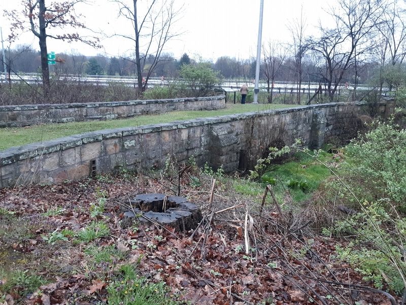
Photographed by Craig Doda, April 26, 2020
5. Canal Marker
Credits. This page was last revised on October 13, 2026. It was originally submitted on February 6, 2021, by Craig Doda of Napoleon, Ohio. This page has been viewed 440 times since then and 26 times this year. Last updated on October 13, 2026, by Craig Doda of Napoleon, Ohio. Photos: 1, 2, 3, 4, 5. submitted on February 6, 2021, by Craig Doda of Napoleon, Ohio. • Devry Becker Jones was the editor who published this page.
