Bolivar in Tuscarawas County, Ohio — The American Midwest (Great Lakes)
Introduction
Fort Laurens
Photographed by Mike Wintermantel, March 15, 2015
1. Introduction Marker
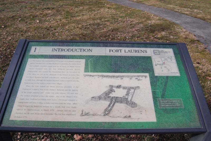
Fort Laurens was constructed in 1778 as part of an ill-fated campaign led by American Gen. Lachlan Mcintosh to neutralize the Indian threat and establish a western supply post for an attack on British Detroit. Twelve hundred men left Fort McIntosh (present Beaver, Pennsylvania) and reached the Tuscarawas River on November 18, 1778. Here, in 1764 in the aftermath of the French & Indian War, Col. Henry Bouquet had built a blockhouse. McIntosh gave the order to build here, although the neutral Delaware Indians warned him this location was too far north to protect their villages.
When the fort, named for Henry Laurens, president of the Continental Congress, was nearly finished, McIntosh and the majority of the troops returned east. Under Col. John Gibson, 176 men and five women remained to face the winter. Due to the distance from supply lines, food and provisions were scarce. The troops resorted to eating herbs and even boiling ox-hides and moccasins for soup. After being besieged by British-led Indians for a month, they were finally relieved by reinforcements in March 1779. Gibson and his men departed, but the new troops
this page online
Erected by Ohio Historical Society. (Marker Number 1.)
Topics and series. This historical marker is listed in these topic lists: Forts and Castles • War, French and Indian • War, US Revolutionary. In addition, it is included in the Ohio Historical Society / The Ohio History Connection series list. A significant historical month for this entry is March 1779.
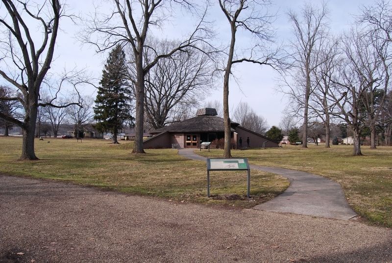
Location. Marker has been permanently removed. It was located near 40° 38.361′ N, 81° 27.315′ W. Marker was in Bolivar, Ohio, in Tuscarawas County. It could be reached from Fort Laurens Road Northwest. Located near the entrance to the museum. Touch for map. Marker was at or near this postal address: 11067 Fort Laurens Rd NW, Bolivar OH 44612, United States of America.
We have been informed that this marker is no longer there and will not be replaced. This page is an archival view of what was.
Regionally, this marker was in Amish Country. It was also in the American Midwest, in Appalachia, and specifically in Northern Appalachia. Globally, it was in North America, the Western Hemisphere, the Western World, and

Photographed by Mike Wintermantel, March 15, 2015
2. 1 Introduction Marker
Other nearby markers. At least 7 other markers are within 2 miles of this location, measured as the crow flies: In Commemoration of Our Patriot Ancestors (a few steps from this marker); Unknown Soldier (within shouting distance of this marker); Fort Laurens (within shouting distance of this marker); Welcome to Ft. Laurens (within shouting distance of this marker); Fort Laurens Continental Outpost of the Ohio Frontier / Survival on the Frontier (about 300 feet away); Bolivar (approx. one mile away); Treaty of Greene Ville (approx. 1.4 miles away). Touch for a list and map of all markers in Bolivar.
Other markers no longer nearby. Tomb (was within shouting distance of this marker but has been permanently removed); Northwest Bastion (was within shouting distance of this marker but has been permanently removed); Excavation (was within shouting distance of this marker but has been permanently removed); Hospital (was within shouting distance of this
Photographed by Craig Doda, April 26, 2020
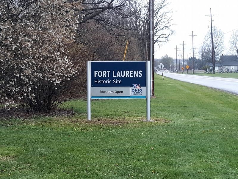
3. Sign at the entrance of Fort Laurens Historic Site
Also see . . . Fort Laurens - Ohio History Connection. (Submitted on December 21, 2020, by Mike Wintermantel of Pittsburgh, Pennsylvania.)
Credits. This page was last revised on October 13, 2026. It was originally submitted on December 21, 2020, by Mike Wintermantel of Pittsburgh, Pennsylvania. This page has been viewed 281 times since then and 32 times this year. Last updated on October 13, 2026, by Craig Doda of Napoleon, Ohio. Photos: 1, 2. submitted on December 21, 2020, by Mike Wintermantel of Pittsburgh, Pennsylvania. 3. submitted on January 27, 2021, by Craig Doda of Napoleon, Ohio. • Devry Becker Jones was the editor who published this page.
