Altstadt in Koblenz, Rhineland-Palatinate, Germany — Central Europe
Kastorbrunnen
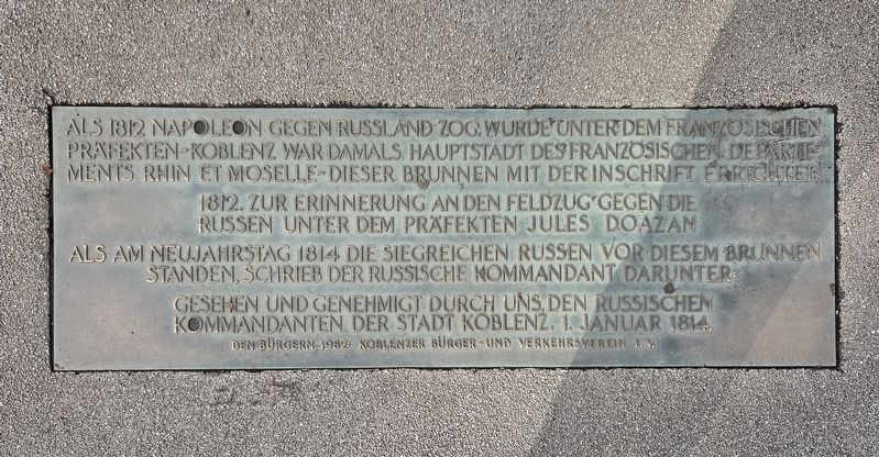
Photographed by James Hulse, October 3, 2026
1. Kastorbrunnen Marker

1812, zur Erinnerung an den Feldzug gegen die Russen unter dem Präfekten Jules Doazan.
Als am Neujahrstag 1814 die siegreichen Russen vor diesem Brunnen standen, schrieb der russische Kommandant darunter:
Gesehen und genehmigt durch uns, den russischen Kommandanten der Stadt Koblenz, 1. Januar 1814.
When Napoleon marched against Russia in 1812, this fountain was erected under the French prefect—Koblenz was then the capital of the French Department of Rhin-et-Moselle—with the following inscription:
1812, in commemoration of the campaign against the Russians under Prefect Jules Doazan.
When the victorious Russians stood before this fountain on New Year’s Day in 1814, the Russian commander added the following words:
Seen and approved by us, the Russian commander of the city of Koblenz, January 1, 1814.
Erected 1982 by Koblenzer Bürger- und Verkehrsverein e. V.
Topics. This historical marker is listed in this topic list: Notable Events. A significant historical date for this entry is January 1, 1814.
Location. 50° 21.751′ N, 7° 36.21′ E. Marker is in Koblenz, Rheinland-Pfalz (Rhineland-Palatinate). It is in Altstadt. It is at the intersection of Kastorhof and Peter-Altmeier-Ufer, on the right when traveling north on Kastorhof. Touch for map. Marker is in this post office area: Koblenz RP 56068, Germany. Touch for directions.

Regionally, this marker is in the German Rhineland,
this page online
Other nearby markers. At least 8 other markers are within walking distance of this marker: Kastorbrunnen Memorial (here, next to this marker); Kastorhof (a few steps from this marker); Spätgotische Kapelle / Late Gothic Chapel (within shouting distance of this marker); Historical Findings at St. Kastor (about 90 meters away, measured in a direct line); Römische Zeit/ Roman Period (about 90 meters away); Vor- und Frühgeschichte / Pre and Early History (about 90 meters away); Geologie - Landschftsentwicklung / Geology - Landscape Development (about 90 meters away); Moderne: Deutsches Eck Mit Kaiser-Wilhelm-Denkmal (about 90 meters away). Touch for a list and map of all markers in Koblenz.
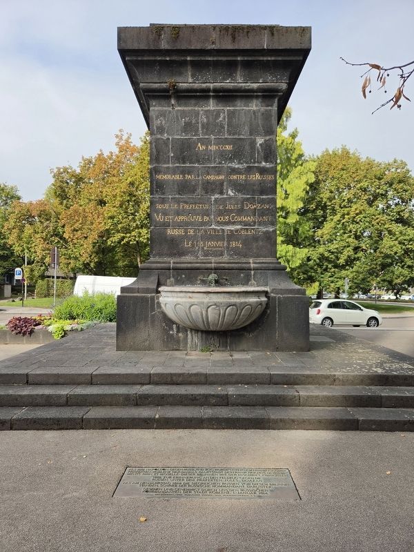
Photographed by James Hulse
2. Kastorbrunnen Marker
The original 1812/1814 engraving is above the ground marker.
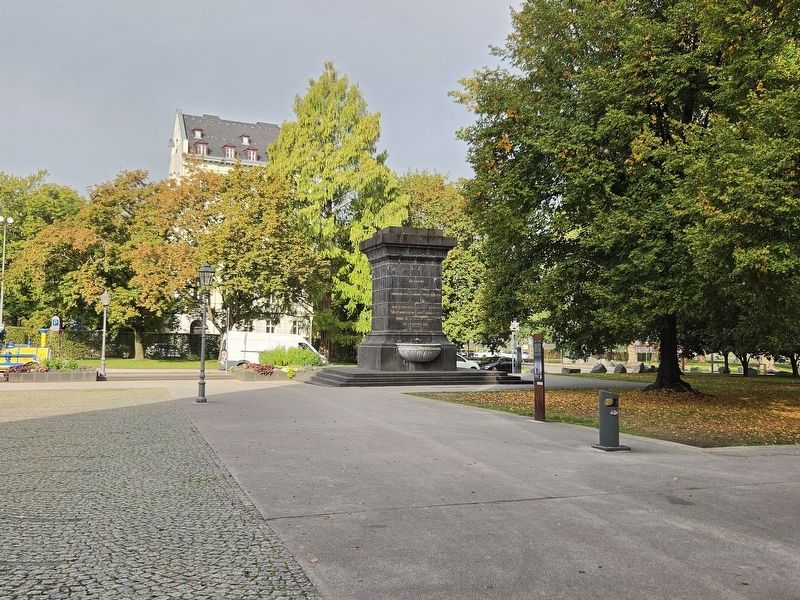
Photographed by James Hulse, October 3, 2026
3. Kastorbrunnen Marker
Credits. This page was last revised on October 14, 2026. It was originally submitted on October 13, 2026, by James Hulse of Medina, Texas. This page has been viewed 4 times since then. Photos: 1. submitted on October 13, 2026, by James Hulse of Medina, Texas. 2, 3. submitted on October 14, 2026, by James Hulse of Medina, Texas.
