Altstadt in Koblenz, Rhineland-Palatinate, Germany — Central Europe
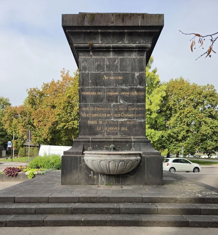
Kastorbrunnen Memorial
Photographed by James Hulse
1. Kastorbrunnen Memorial

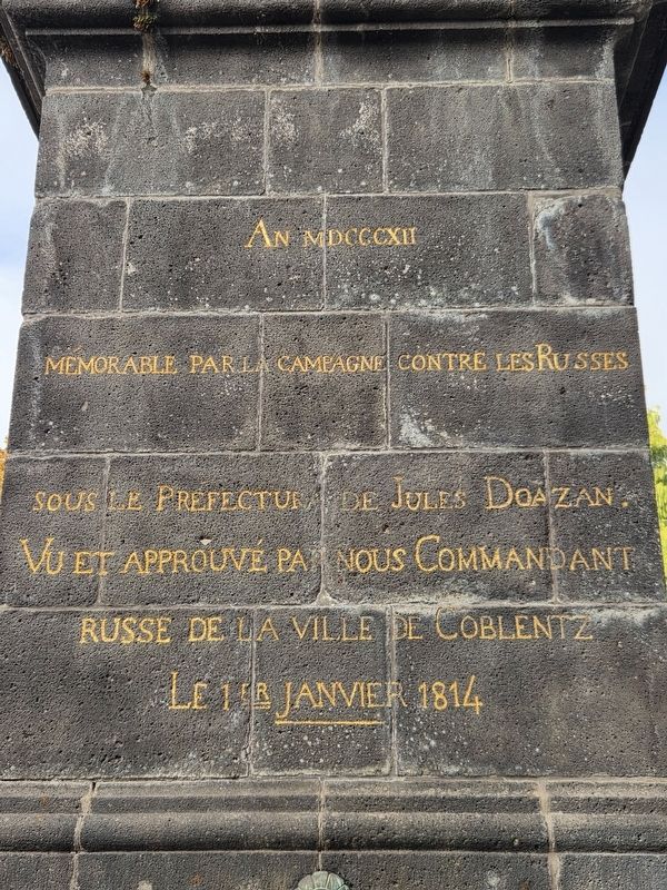
Mémorable par la campagne contre les Russes sous le Préfecture de Jules Doazan.
Vu et approuvé par nous, Commandant Russe de la Ville de Coblentz.
Le 1er janvier 1814.
In the year 1812, memorable for the campaign against the Russians under the prefecture of Jules Doazan.
Seen and approved by us, the Russian commander of the city of Coblentz.
January 1, 1814.
Erected 1812.
Topics. This memorial is listed in this topic list: Wars, Non-US. A significant historical date for this entry is January 1, 1814.
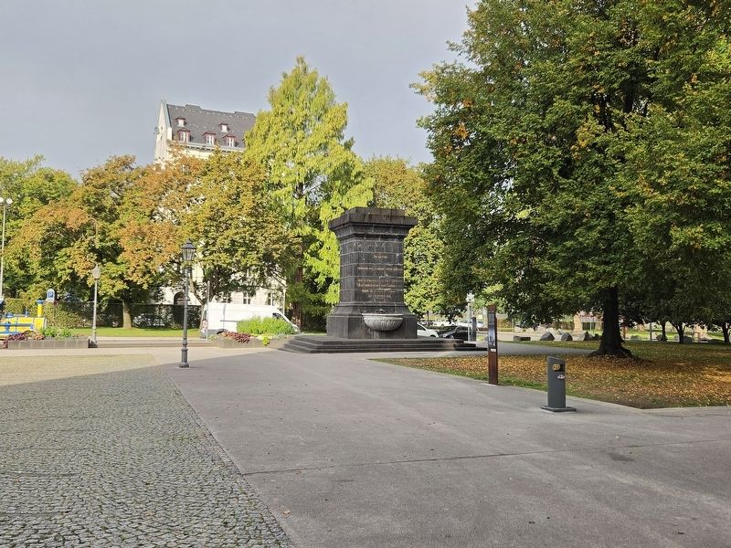
Location. 50° 21.752′ N, 7° 36.206′ E. Memorial is in Koblenz, Rheinland-Pfalz (Rhineland-Palatinate). It is in Altstadt. It is at the intersection of Kastorhof and Peter-Altmeier-Ufer, on the right when traveling north on Kastorhof. Touch for map. Memorial is in this post office area: Koblenz RP 56068, Germany. Touch for directions.

Regionally, this memorial is in the German Rhineland, in the Upper Middle Rhine Valley, and specifically in the Moselle Valley. Globally, it is in Europe, the European Union, Atlantic Europe, Central Europe, the Schengen Area, Western Europe, and the Western World. Historically, it finds itself in what was once the Roman Empire, the Holy Roman Empire, and the former West Germany.
Other nearby markers. At least 8 other markers are within walking distance of this marker: Kastorbrunnen (here, next to this marker); Kastorhof (a few steps from this marker); Spätgotische Kapelle / Late Gothic Chapel (within shouting distance of this marker); Historical Findings at St. Kastor (about 120 meters away, measured in a direct line);
this page online
Photographed by James Hulse, October 3, 2026
2. Kastorbrunnen Memorial
Photographed by James Hulse, October 3, 2026
3. Kastorbrunnen Memorial
Credits. This page was last revised on October 14, 2026. It was originally submitted on October 13, 2026, by James Hulse of Medina, Texas. This page has been viewed 3 times since then. Photos: 1, 2, 3. submitted on October 14, 2026, by James Hulse of Medina, Texas.
