Altstadt in Koblenz, Rhineland-Palatinate, Germany — Central Europe
Pestkreuz
⎯⎯⎯
Plague Cross
| — | 1669 | — |
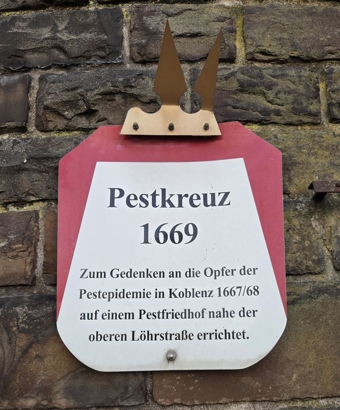
Photographed by James Hulse, October 4, 2026
1. Pestkreuz / Plague Cross Marker

Erected in a plague cemetery near upper Löhrstraße in memory of the victims of the 1667–68 plague epidemic in Koblenz.
Topics. This historical marker is listed in these topic lists: Cemeteries & Burial Sites • Disasters. A significant historical year for this entry is 1669.
Location. 50° 21.25′ N, 7° 35.367′ E. Marker is in Koblenz, Rheinland-Pfalz (Rhineland-Palatinate). It is in Altstadt. It is at the intersection of Löhrstraße and Kardinal-Krementz-Straße, on the right when traveling south on Löhrstraße. Touch for map. Marker is at or near this postal address: Löhrstraße 117, Koblenz RP 56068, Germany. Touch for directions.

Regionally, this marker is in the German Rhineland, in the Upper Middle Rhine Valley, and specifically in the Moselle Valley. Globally, it is in Europe, the European Union, Atlantic Europe, Central Europe, the Schengen Area, Western Europe, and the Western World. Historically, it finds itself in what was once the Roman Empire,
this page online
Other nearby markers. At least 8 other markers are within walking distance of this marker: Irma Brasch (about 150 meters away, measured in a direct line); Dr. Walter Brasch (about 150 meters away); Emma Brasch (about 150 meters away); Jean-Pierre Brasch (about 150 meters away); Ernst Brasch (about 150 meters away); Ilse Erika Brasch (about 150 meters away); Pfarrkirche Herz-Jesu / Sacred Heart Parish Church (approx. 0.3 kilometers away); Löhrrondell (approx. 0.4 kilometers away). Touch for a list and map of all markers in Koblenz.
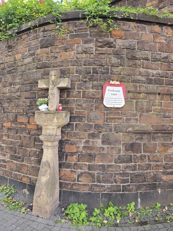
Photographed by James Hulse
2. Plague Cross and Marker
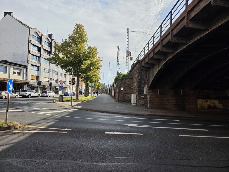
Photographed by James Hulse, October 4, 2026
3. Pestkreuz / Plague Cross Marker
Credits. This page was last revised on October 14, 2026. It was originally submitted on October 14, 2026, by James Hulse of Medina, Texas. This page has been viewed 8 times since then. Photos: 1, 2, 3. submitted on October 14, 2026, by James Hulse of Medina, Texas.
