Kobern-Gondorf in Mayen-Koblenz, Rhineland-Palatinate, Germany — Central Europe
Historische Grabkreuze
⎯⎯⎯
Historic Grave Crosses
Photographed by James Hulse, October 5, 2026
1. Historische Grabkreuze / Historic Grave Crosses Marker

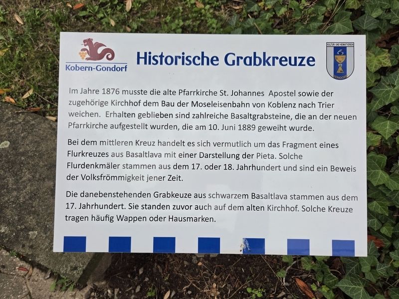
Im Jahre 1876 musste die alte Pfarrkirche St. Johannes Apostel sowie der zugehörige Kirchhof dem Bau der Moseleisenbahn von Koblenz nach Trier weichen. Erhalten geblieben sind zahlreiche Basaltgrabsteine, die an der neuen Pfarrkirche aufgestellt wurden, die am 10. Juni 1889 geweiht wurde.
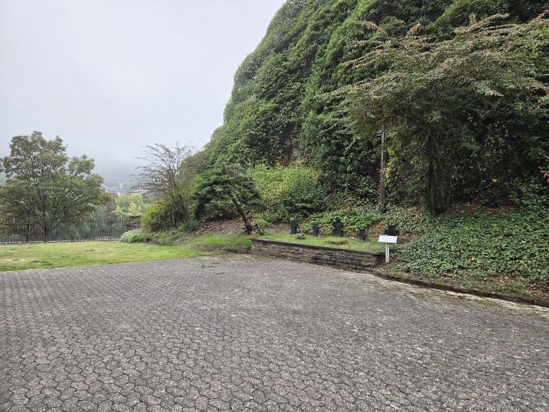
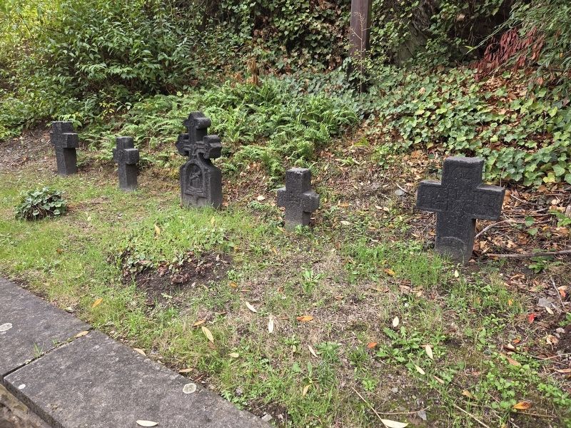
Bei dem mittleren Kreuz handelt es sich vermutlich um das Fragment eines Flurkreuzes aus Basaltlava mit einer Darstellung der Pieta. Solche Flurdenkmäler stammen aus dem 17. oder 18. Jahrhundert und sind ein Beweis der Volksfrömmigkeit jener Zeit.
Die danebenstehenden Grabkeuze aus schwarzem Basaltlava stammen aus dem 17. Jahrhundert. Sie standen zuvor auch auf dem alten Kirchhof. Solche Kreuze tragen häufig Wappen oder Hausmarken.
Historic Grave Crosses
In 1876, the old parish church of St. John the Apostle and its churchyard had to make way for the Moselle railway from Koblenz to Trier. Numerous basalt gravestones survived and were placed beside the new parish church, which was consecrated on June 10, 1889.
The middle cross is probably a fragment of a wayside cross made of basalt lava, depicting the Pietà. Such monuments date from the seventeenth or eighteenth century and reflect the popular religious devotion of that time.
The neighboring grave crosses made of black basalt lava date from the seventeenth century. They also previously stood in the old churchyard. Such crosses often bear coats of arms or family identification marks.
Topics. This historical marker is listed in these topic lists: Cemeteries & Burial Sites • Religion & Religious Structures. A significant historical date for this entry is June 10, 1889.
Location. 50° 17.443′ N,
this page online

Regionally, this marker is in the German Rhineland, in the Eifel, and in the Moselle Valley. Globally, it is in Europe, the European Union, Atlantic Europe, Central Europe, the Schengen Area, Western Europe, and the Western World. Historically, it finds itself in what was once the Roman Empire, the Holy Roman Empire, and the former West Germany.
Other nearby markers. At least 8 other markers are within walking distance of this marker: Grabplatte / Grave Slab (within shouting distance of this marker); Die Kirchenglocken von Gondorf / The Church Bells of Gondorf (within shouting distance of this marker); Tuffsteinsarg / Tuff Stone Coffin (within shouting distance of this marker); Gondorf (within shouting distance of this marker); Ehemalige Gondorfer zweiklassige Volksschule / Former Gondorf Two-Class Elementary School (within shouting distance of this marker); Oberburg / Upper Castle (within shouting distance of this marker); Die „Gänseliesel“ … / The “Goose Girl” … (about 90 meters away, measured in a direct line); Mittelalterliches Hofgut mit Fachwerk / Medieval Estate with Timber Framing (about 90 meters away). Touch for a list and map of all markers in Kobern-Gondorf.
Photographed by James Hulse, October 5, 2026
2. Historische Grabkreuze / Historic Grave Crosses and Marker
Photographed by James Hulse, October 5, 2026
3. Historische Grabkreuze / Historic Grave Crosses
Credits. This page was last revised on October 15, 2026. It was originally submitted on October 14, 2026, by James Hulse of Medina, Texas. This page has been viewed 5 times since then. Photos: 1, 2, 3. submitted on October 15, 2026, by James Hulse of Medina, Texas.
