Central Harlem in Manhattan in New York County, New York — The American Northeast (Mid-Atlantic)
Central Harlem - West 130th-132nd Streets Historic District
New York Landmarks Preservation Foundation
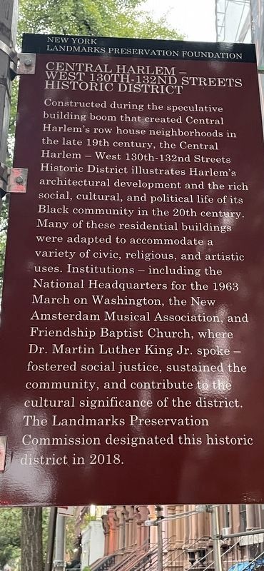
Photographed by Steven Livesay, October 2, 2026
1. Central Harlem - West 130th-132nd Streets Historic District Marker
Constructed during the speculative building boom that created Central Harlem's row house neighborhoods in the late 19th century, the Central Harlem - West 130th-132nd Streets Historic District illustrates Harlem's architectural development and the rich social, cultural, and political life of its Black community in the 20th century. Many of these residential buildings were adapted to accommodate a variety of civic, religious, and artistic uses. Institutions - including the National Headquarters for the 1963 March on Washington, the New Amsterdam Musical Association, and Friendship Baptist Church, where Dr. Martin Luther King Jr. spoke - fostered social justice, sustained the community, and contributed to the cultural significance of the district. The Landmarks Preservation Commission designated this historic district in 2018.
Erected 2026 by New York Landmarks Preservation Foundation.
Topics. This historical marker is listed in these topic lists: African Americans • Architecture • Arts, Letters, Music • Civil Rights. A significant historical year for this entry is 1963.
Location. 40° 48.676′ N, 73° 56.633′ W. Marker is in Manhattan, New York, in New York County. It is in Central Harlem. It is at the intersection of West 130th Street and Lenox Boulevard, on the left when traveling east on West 130th Street. Touch for map. Marker is at or near this postal address: 404 Lenox Ave, New York NY 10037, United States of America. Touch for directions.

Regionally, this marker is in New York City. It is also in the American Northeast, in the Mid-Atlantic, and on the Eastern Seaboard. Globally, it is in the North Atlantic Region, North America, the Western Hemisphere, the Western World, and the Anglosphere. Historically, it finds itself in what was once New Netherland and also one of the
this page online
Other nearby markers. At least 8 other markers are within walking distance of this marker: Zora Neale Hurston (within shouting distance of this marker); Romare H. Bearden (about 500 feet away, measured in a direct line); Scott Joplin (about 600 feet away); The First Vest-Pocket Park (about 700 feet away); Langston Hughes Playground (about 700 feet away); Lewis Michaux (approx. ¼ mile away); Harlem YMCA (approx. ¼ mile away); Adam Clayton Powell, Jr. (approx. ¼ mile away). Touch for a list and map of all markers in Manhattan.
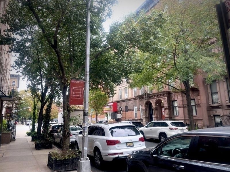
Photographed by Steven Livesay, October 14, 2026
2. Central Harlem - West 130th-132nd Streets Historic District Marker
Credits. This page was last revised on October 15, 2026. It was originally submitted on October 2, 2026, by Steven Livesay of New York, New York. This page has been viewed 26 times since then. Last updated on October 14, 2026, by Steven Livesay of New York, New York. Photos: 1. submitted on October 2, 2026, by Steven Livesay of New York, New York. 2. submitted on October 14, 2026, by Steven Livesay of New York, New York. • Devry Becker Jones was the editor who published this page.
