March in Cambridgeshire, England, United Kingdom — Northwestern Europe (the British Isles)
The Stone Cross

Photographed by Ray Gurganus, 2026
1. The Stone Cross Marker
This plaque commemorates the Diamond Jubilee of Her Majesty Queen Elizabeth II
Donated to the people of March by the Rotary Club of March in 2012
Erected 2012 by Rotary Club of March.
Topics and series. This historical marker is listed in this topic list: Man-Made Features. In addition, it is included in the Rotary International series list.
Location. 52° 32.495′ N, 0° 5.13′ E. Marker is in March, England, in Cambridgeshire. It is on The Causeway, on the right when traveling south. Touch for map.
this page online

Regionally, this marker is in East Anglia. Globally, it is on the Atlantic Ocean, in the North Atlantic Region, in Europe, in Atlantic Europe, on one of the British Isles, in the Western World, and in the Anglosphere. Historically, it finds itself in what was once the Roman Empire.
Other nearby markers. At least 4 other markers are within 21 kilometers of this marker, measured as the crow flies: March War Memorial (approx. one kilometer away); March Railway Station (approx. 2.1 kilometers away); Ely Cemetery (approx. 20 kilometers away); a different marker also named Ely Cemetery (approx. 20 kilometers away).
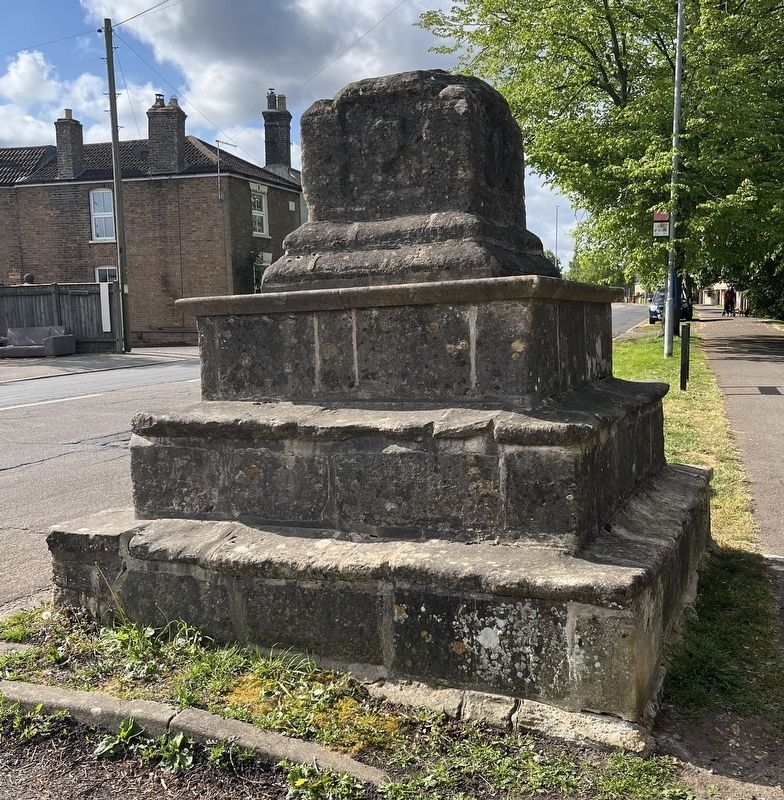
Photographed by Ray Gurganus, May 7, 2026
2. The Stone Cross base
Credits. This page was last revised on October 15, 2026. It was originally submitted on October 15, 2026, by Ray Gurganus of Washington, District of Columbia. This page has been viewed 3 times since then. Photos: 1, 2. submitted on October 15, 2026, by Ray Gurganus of Washington, District of Columbia. • Andrew Ruppenstein was the editor who published this page.
